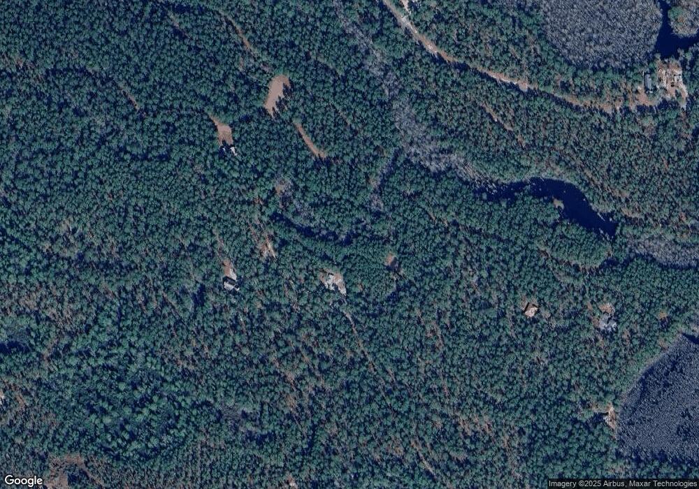
443 Lacers Way Currie, NC 28435
Estimated Value: $277,000 - $457,000
2
Beds
2
Baths
2,063
Sq Ft
$174/Sq Ft
Est. Value
About This Home
This home is located at 443 Lacers Way, Currie, NC 28435 and is currently estimated at $359,350, approximately $174 per square foot. 443 Lacers Way is a home located in Pender County with nearby schools including Malpass Corner Elementary School, West Pender Middle School, and Pender High School.
Ownership History
Date
Name
Owned For
Owner Type
Purchase Details
Closed on
Jan 26, 2006
Sold by
Whitehurst Norman W and Whitehurst Amy S
Bought by
Mowery Kent R and Mowery Janice A
Current Estimated Value
Home Financials for this Owner
Home Financials are based on the most recent Mortgage that was taken out on this home.
Original Mortgage
$216,600
Outstanding Balance
$122,009
Interest Rate
6.21%
Mortgage Type
New Conventional
Estimated Equity
$237,341
Create a Home Valuation Report for This Property
The Home Valuation Report is an in-depth analysis detailing your home's value as well as a comparison with similar homes in the area
Home Values in the Area
Average Home Value in this Area
Purchase History
| Date | Buyer | Sale Price | Title Company |
|---|---|---|---|
| Mowery Kent R | $228,000 | -- |
Source: Public Records
Mortgage History
| Date | Status | Borrower | Loan Amount |
|---|---|---|---|
| Open | Mowery Kent R | $216,600 |
Source: Public Records
Tax History Compared to Growth
Tax History
| Year | Tax Paid | Tax Assessment Tax Assessment Total Assessment is a certain percentage of the fair market value that is determined by local assessors to be the total taxable value of land and additions on the property. | Land | Improvement |
|---|---|---|---|---|
| 2024 | $2,030 | $201,049 | $43,700 | $157,349 |
| 2023 | $1,843 | $201,049 | $43,700 | $157,349 |
| 2022 | $1,843 | $201,049 | $43,700 | $157,349 |
| 2021 | $1,843 | $201,049 | $43,700 | $157,349 |
| 2020 | $1,843 | $201,049 | $43,700 | $157,349 |
| 2019 | $972 | $93,138 | $43,700 | $49,438 |
| 2018 | $2,027 | $213,192 | $46,440 | $166,752 |
| 2017 | $2,027 | $213,192 | $46,440 | $166,752 |
| 2016 | $2,005 | $213,192 | $46,440 | $166,752 |
| 2015 | $1,970 | $213,192 | $46,440 | $166,752 |
| 2014 | $1,568 | $213,192 | $46,440 | $166,752 |
| 2013 | -- | $213,192 | $46,440 | $166,752 |
| 2012 | -- | $213,192 | $46,440 | $166,752 |
Source: Public Records
Map
Nearby Homes
- 506 Tory Trail
- 63 George Washington Hales Dr
- 229 Estate Rd
- 1152 Point Caswell Rd
- 1327 Point Caswell Rd
- 250 Long Bluff
- 3575 Blueberry Rd
- 8033 Malpass Corner Rd
- 6079 Bell Williams Rd
- 556.18 Ac Nc 210 Hwy
- 3848 Rooks Rd
- 3213 Rooks Rd
- 217 Trotters Ln
- 2092 John Henry Store Rd
- 130 Vineyard Trace
- 594 Montague Rd
- 325 Messer Loop Rd
- 3763 Bell Williams Rd
- 240 Keith
- 623 Big 4 Rd
- 360 Lacers Way
- 523 Lacers Way
- 621 Lacers Way
- 30635 Nc Highway 210
- 129 Widow Moore Dr
- 112 Widow Moore Dr
- 114 Widow Moore Dr
- 17 Widow Moore Dr
- 0 Widow Moore Dr
- 27 Widow Moore Dr
- 155 Widow Moore Dr
- Lot 74 Widow Moore Dr
- 703 Lacers Way
- 703 Lacers Way
- 216 Lacers Way
- 74 Widow Moore Dr
- 116 Widow Moore Dr
- Lot 53 Whig Way
- 0 Whig Way
