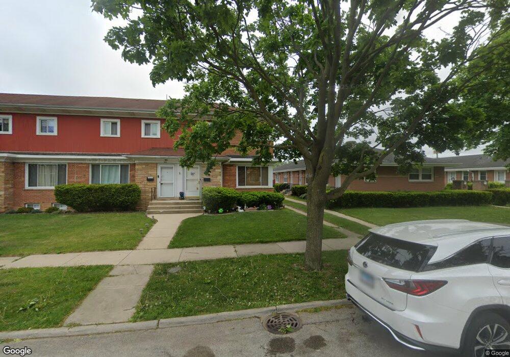
443 Oak St Des Plaines, IL 60016
Estimated Value: $248,185 - $294,000
2
Beds
2
Baths
1,050
Sq Ft
$265/Sq Ft
Est. Value
About This Home
This home is located at 443 Oak St, Des Plaines, IL 60016 and is currently estimated at $277,796, approximately $264 per square foot. 443 Oak St is a home located in Cook County with nearby schools including North Elementary School, Chippewa Middle School, and Maine West High School.
Ownership History
Date
Name
Owned For
Owner Type
Purchase Details
Closed on
Jul 20, 2006
Sold by
Farley James R and Martinez Monica M
Bought by
Lleras Farley James Roy and Lleras Farley Daisy
Current Estimated Value
Home Financials for this Owner
Home Financials are based on the most recent Mortgage that was taken out on this home.
Original Mortgage
$161,250
Outstanding Balance
$94,841
Interest Rate
6.77%
Mortgage Type
Purchase Money Mortgage
Estimated Equity
$182,955
Purchase Details
Closed on
Mar 17, 1999
Sold by
Lindner Robert D
Bought by
Farley James A
Home Financials for this Owner
Home Financials are based on the most recent Mortgage that was taken out on this home.
Original Mortgage
$108,750
Interest Rate
6.85%
Mortgage Type
Purchase Money Mortgage
Create a Home Valuation Report for This Property
The Home Valuation Report is an in-depth analysis detailing your home's value as well as a comparison with similar homes in the area
Home Values in the Area
Average Home Value in this Area
Purchase History
| Date | Buyer | Sale Price | Title Company |
|---|---|---|---|
| Lleras Farley James Roy | -- | Multiple | |
| Farley James A | $107,500 | -- |
Source: Public Records
Mortgage History
| Date | Status | Borrower | Loan Amount |
|---|---|---|---|
| Open | Lleras Farley James Roy | $161,250 | |
| Closed | Farley James A | $108,750 |
Source: Public Records
Tax History
| Year | Tax Paid | Tax Assessment Tax Assessment Total Assessment is a certain percentage of the fair market value that is determined by local assessors to be the total taxable value of land and additions on the property. | Land | Improvement |
|---|---|---|---|---|
| 2025 | $4,399 | $23,000 | $12,499 | $10,501 |
| 2024 | $4,399 | $20,000 | $3,500 | $16,500 |
| 2023 | $4,266 | $20,000 | $3,500 | $16,500 |
| 2022 | $4,266 | $20,000 | $3,500 | $16,500 |
| 2021 | $3,585 | $14,993 | $2,281 | $12,712 |
| 2020 | $3,593 | $14,993 | $2,281 | $12,712 |
| 2019 | $3,560 | $16,659 | $2,281 | $14,378 |
| 2018 | $2,740 | $12,597 | $2,018 | $10,579 |
| 2017 | $2,709 | $12,597 | $2,018 | $10,579 |
| 2016 | $2,807 | $12,597 | $2,018 | $10,579 |
| 2015 | $2,994 | $12,526 | $1,755 | $10,771 |
| 2014 | $2,947 | $12,526 | $1,755 | $10,771 |
| 2013 | $2,856 | $12,526 | $1,755 | $10,771 |
Source: Public Records
Map
Nearby Homes
- 1509 Brown St Unit 11
- 365 Graceland Ave Unit 205A
- 1378 Perry St Unit 412
- 1349 E Washington St Unit 404A
- 1327 Brown St Unit 404
- 1325 Perry St Unit 606
- 1333 Willow Ave
- 194 Grove Ave Unit A
- 750 Pearson St Unit 904
- 1685 Mill St Unit 409
- 770 Pearson St Unit 808
- 647 Parsons Ave
- 711 S River Rd Unit 617
- 711 S River Rd Unit 704
- 183 Grove Ave Unit B
- 390 S Western Ave Unit 502
- 390 S Western Ave Unit 706
- 821 Lexington Cir E
- 1160 Evergreen Ave
- 787 Graceland Ave Unit 202B
Your Personal Tour Guide
Ask me questions while you tour the home.