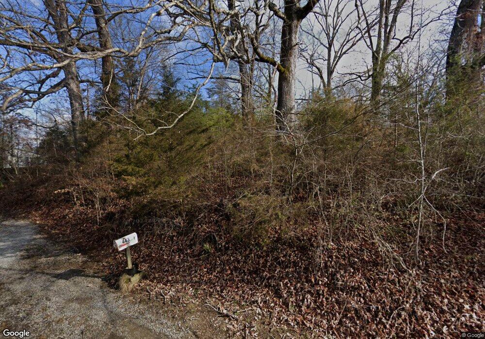
443 Old Highway 66 Rogersville, TN 37857
Estimated Value: $93,206 - $174,000
--
Bed
--
Bath
776
Sq Ft
$161/Sq Ft
Est. Value
About This Home
This home is located at 443 Old Highway 66, Rogersville, TN 37857 and is currently estimated at $125,302, approximately $161 per square foot. 443 Old Highway 66 is a home with nearby schools including Joseph Rogers Primary School, Hawkins Elementary School, and Rogersville Middle School.
Ownership History
Date
Name
Owned For
Owner Type
Purchase Details
Closed on
Aug 24, 2007
Sold by
Thomas Beverly J
Bought by
Richard Jude
Current Estimated Value
Home Financials for this Owner
Home Financials are based on the most recent Mortgage that was taken out on this home.
Original Mortgage
$47,170
Outstanding Balance
$29,850
Interest Rate
6.65%
Estimated Equity
$95,452
Purchase Details
Closed on
Jul 17, 1989
Bought by
Baldridge Shirley Marcella
Purchase Details
Closed on
Jan 12, 1959
Bought by
Rush Daniel
Create a Home Valuation Report for This Property
The Home Valuation Report is an in-depth analysis detailing your home's value as well as a comparison with similar homes in the area
Home Values in the Area
Average Home Value in this Area
Purchase History
| Date | Buyer | Sale Price | Title Company |
|---|---|---|---|
| Richard Jude | $47,170 | -- | |
| Baldridge Shirley Marcella | -- | -- | |
| Rush Daniel | -- | -- |
Source: Public Records
Mortgage History
| Date | Status | Borrower | Loan Amount |
|---|---|---|---|
| Open | Rush Daniel | $47,170 |
Source: Public Records
Tax History Compared to Growth
Tax History
| Year | Tax Paid | Tax Assessment Tax Assessment Total Assessment is a certain percentage of the fair market value that is determined by local assessors to be the total taxable value of land and additions on the property. | Land | Improvement |
|---|---|---|---|---|
| 2024 | $270 | $10,550 | $2,300 | $8,250 |
| 2023 | $245 | $10,550 | $0 | $0 |
| 2022 | $245 | $10,550 | $2,300 | $8,250 |
| 2021 | $229 | $10,550 | $2,300 | $8,250 |
| 2020 | $234 | $10,550 | $2,300 | $8,250 |
| 2019 | $234 | $9,225 | $2,300 | $6,925 |
| 2018 | $234 | $9,225 | $2,300 | $6,925 |
| 2017 | $234 | $9,225 | $2,300 | $6,925 |
| 2016 | $234 | $9,225 | $2,300 | $6,925 |
| 2015 | $227 | $9,225 | $2,300 | $6,925 |
| 2014 | $241 | $9,775 | $2,300 | $7,475 |
Source: Public Records
Map
Nearby Homes
- Lot 2 Highway 70s
- Lot 3 Highway 70s
- Lot 1 Highway 70s
- Lot 4 Highway 70s
- 403 Morningside Dr
- 156 Reynolds Hills Dr
- 111 Poplar Dr
- 2586 Highway 66 S
- 140 Roberts Rd
- 157 Chuck Rd
- 104 Bacon Rd
- Tbd Kite Rd
- 142 Old State Highway 70
- 334 S Fork Branch Rd
- Tbd Flora Rd
- 000 Heck Hollow Rd
- Tbd2 Chestnut Town Rd
- Tbd Chestnut Town Rd
- Flora Rd
- Chestnutt Town Rd
- 448 Old Highway 66
- 451 Old Highway 66
- 427 Old Highway 66
- 471 Old Highway 66
- 1012 Beulah Land Dr
- 1020 Beulah Land Dr
- 1020 Beulah Land Dr Unit 1
- 407 Old Hwy 66s
- 407 Old Highway 66
- 293 Fork Branch Rd
- 000 Knights 1
- 111 Knights I
- 103 Knights I
- 287 Fork Branch Rd
- 122 Knights I
- 301 Old Highway 66
- 121 Knights I
- 130 Knights I
- 297 Old Highway 66
- 127 Knights I