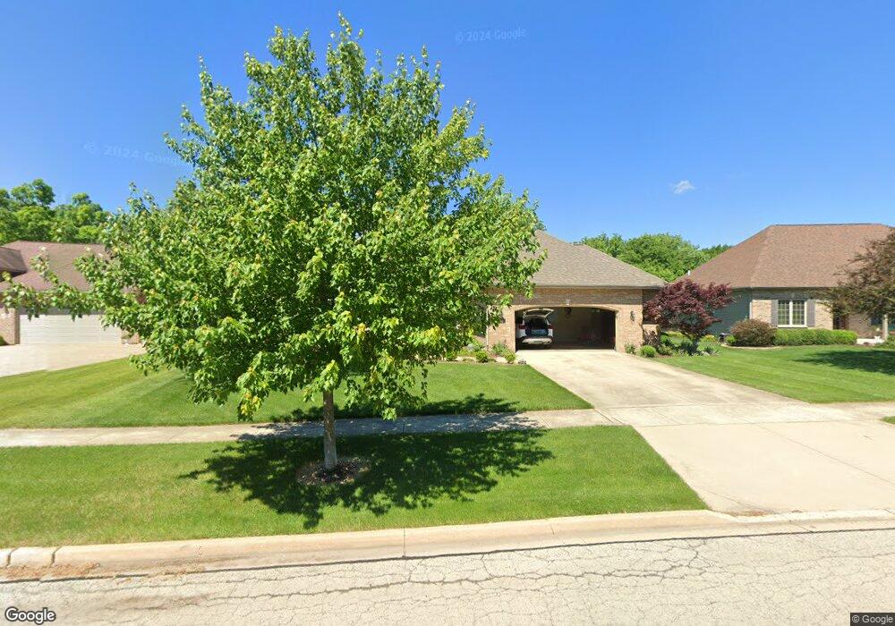
443 Poplar Dr Yorkville, IL 60560
Estimated Value: $489,000 - $518,666
--
Bed
3
Baths
2,427
Sq Ft
$210/Sq Ft
Est. Value
About This Home
This home is located at 443 Poplar Dr, Yorkville, IL 60560 and is currently estimated at $508,917, approximately $209 per square foot. 443 Poplar Dr is a home located in Kendall County with nearby schools including Circle Center Grade School, Yorkville Intermediate School, and Yorkville Middle School.
Ownership History
Date
Name
Owned For
Owner Type
Purchase Details
Closed on
Apr 1, 2005
Sold by
Cardinal Homes Of Illinois Inc
Bought by
Rickert Josef and Rickert Elisabeth
Current Estimated Value
Purchase Details
Closed on
Nov 24, 2004
Sold by
S&K Development Llc
Bought by
Cardinal Homes Of Illinois Inc
Home Financials for this Owner
Home Financials are based on the most recent Mortgage that was taken out on this home.
Original Mortgage
$320,000
Interest Rate
5.71%
Mortgage Type
Construction
Create a Home Valuation Report for This Property
The Home Valuation Report is an in-depth analysis detailing your home's value as well as a comparison with similar homes in the area
Home Values in the Area
Average Home Value in this Area
Purchase History
| Date | Buyer | Sale Price | Title Company |
|---|---|---|---|
| Rickert Josef | $399,000 | First American Title | |
| Cardinal Homes Of Illinois Inc | $101,500 | First American Title |
Source: Public Records
Mortgage History
| Date | Status | Borrower | Loan Amount |
|---|---|---|---|
| Previous Owner | Cardinal Homes Of Illinois Inc | $320,000 |
Source: Public Records
Tax History Compared to Growth
Tax History
| Year | Tax Paid | Tax Assessment Tax Assessment Total Assessment is a certain percentage of the fair market value that is determined by local assessors to be the total taxable value of land and additions on the property. | Land | Improvement |
|---|---|---|---|---|
| 2024 | $6,712 | $142,673 | $11,737 | $130,936 |
| 2023 | $7,839 | $126,170 | $10,976 | $115,194 |
| 2022 | $7,839 | $126,029 | $16,140 | $109,889 |
| 2021 | $8,032 | $119,048 | $16,140 | $102,908 |
| 2020 | $10,479 | $114,747 | $16,108 | $98,639 |
| 2019 | $8,371 | $109,394 | $15,776 | $93,618 |
| 2018 | $8,672 | $105,807 | $15,776 | $90,031 |
| 2017 | $8,783 | $102,970 | $15,353 | $87,617 |
| 2016 | $9,049 | $99,089 | $14,928 | $84,161 |
| 2015 | $9,478 | $93,603 | $14,653 | $78,950 |
| 2014 | -- | $92,162 | $17,853 | $74,309 |
| 2013 | -- | $92,162 | $17,853 | $74,309 |
Source: Public Records
Map
Nearby Homes
- 467 Poplar Dr
- 469 Kelly Ave
- 232 Windham Cir
- W Fox Rd
- 664 White Oak Way
- 510 W Dolph St Unit 2
- 807 State St
- 705 State St
- 9211 Illinois 126
- 1459 Wood Sage Ave
- 1023 S Carly Cir
- 403 W Somonauk St
- 906 N Carly Cir
- 303 E Fox Rd
- 301 E Van Emmon St
- 312 Olsen St
- 1409 White Pine Ct
- 1012 Independence Blvd
- 1451 Aspen Ln
- 1542 Stoneridge Ct