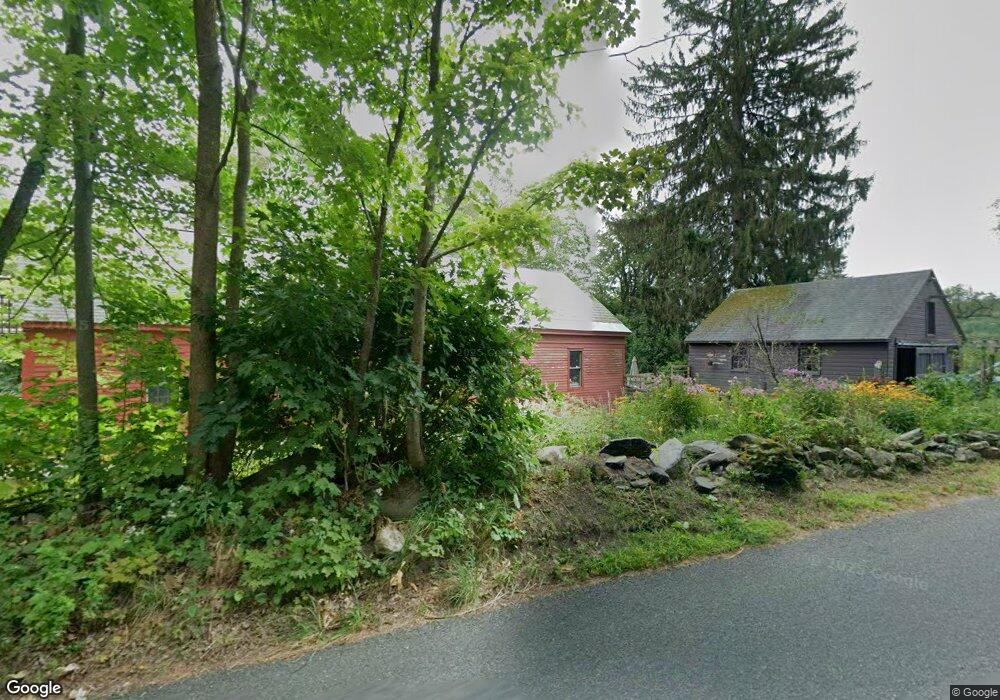
443 Steady Ln Ashfield, MA 01330
Ashfield NeighborhoodEstimated Value: $419,000 - $715,000
5
Beds
3
Baths
2,753
Sq Ft
$199/Sq Ft
Est. Value
About This Home
This home is located at 443 Steady Ln, Ashfield, MA 01330 and is currently estimated at $547,821, approximately $198 per square foot. 443 Steady Ln is a home located in Franklin County with nearby schools including Mohawk Trail Regional High School.
Ownership History
Date
Name
Owned For
Owner Type
Purchase Details
Closed on
Jun 11, 2024
Sold by
Dufresne Francis C and Kernan Denise J
Bought by
Ashley C K-Dufresne T C and Ashley Dufrense
Current Estimated Value
Create a Home Valuation Report for This Property
The Home Valuation Report is an in-depth analysis detailing your home's value as well as a comparison with similar homes in the area
Home Values in the Area
Average Home Value in this Area
Purchase History
| Date | Buyer | Sale Price | Title Company |
|---|---|---|---|
| Ashley C K-Dufresne T C | -- | None Available | |
| Ashley C K-Dufresne T C | -- | None Available |
Source: Public Records
Tax History Compared to Growth
Tax History
| Year | Tax Paid | Tax Assessment Tax Assessment Total Assessment is a certain percentage of the fair market value that is determined by local assessors to be the total taxable value of land and additions on the property. | Land | Improvement |
|---|---|---|---|---|
| 2025 | $6,587 | $489,400 | $73,000 | $416,400 |
| 2024 | $6,699 | $458,500 | $73,000 | $385,500 |
| 2023 | $6,007 | $341,100 | $58,400 | $282,700 |
| 2022 | $5,635 | $324,200 | $55,500 | $268,700 |
| 2021 | $5,399 | $326,200 | $55,500 | $270,700 |
| 2020 | $5,434 | $326,200 | $55,500 | $270,700 |
| 2019 | $5,045 | $294,000 | $53,800 | $240,200 |
| 2018 | $4,828 | $281,000 | $53,800 | $227,200 |
| 2017 | $4,555 | $280,800 | $53,100 | $227,700 |
| 2016 | $4,332 | $263,500 | $53,100 | $210,400 |
| 2015 | $4,208 | $263,500 | $53,100 | $210,400 |
| 2014 | $4,282 | $265,000 | $49,800 | $215,200 |
Source: Public Records
Map
Nearby Homes
- 220 Hawley Rd
- 374 Watson Spruce Corner Rd
- 240 Beldingville Rd
- 0 Sears Rd Unit 73373850
- 0 John Ford Rd Unit 73403157
- 0 John Ford Rd Unit 73403156
- 473 N Poland Rd
- 0 Spruce Corner Rd Unit 73244975
- 0 Old Stage Rd Unit 73326639
- 333 Ranney Corner Rd
- 1531 Williamsburg Rd
- 0 Ashfield Rd
- 230 S Ashfield Rd
- 146 Berkshire Trail W
- lot 1 Shelburne Falls Rd
- 85 Dacey Rd
- 0 Upper St
- 41 Buckland Rd
- 0 Pleasant St
- 14 River St
- 0 West Rd
- 457 Steady Ln
- 26 Flora Tatro Ln
- 0 Bug Hill Rd
- 101 West Rd
- 380 Steady Ln
- 380 Steady Ln
- 380 Steady Ln
- 25 West Rd
- 34A Flora Tatro Ln
- 34 Flora Tatro Ln Unit 1
- 34B Flora Tatro Ln
- 11 Bug Hill Rd
- 36 Bug Hill Rd
- 36 Bug Hill Rd Unit 1
- 562 Suburban Dr
- 60 Bug Hill Rd
- 0 Route 112 Unit 30152930
- 0 Route 112 Unit 30469036
- 90 Bug Hill Rd