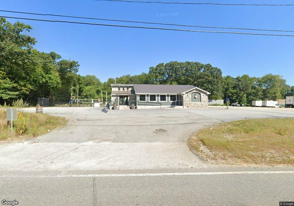
443 Worcester Rd Charlton, MA 01507
Estimated Value: $338,629
Studio
--
Bath
5,074
Sq Ft
$67/Sq Ft
Est. Value
About This Home
This home is located at 443 Worcester Rd, Charlton, MA 01507 and is currently estimated at $338,629, approximately $66 per square foot. 443 Worcester Rd is a home located in Worcester County with nearby schools including Shepherd Hill Regional High School.
Ownership History
Date
Name
Owned For
Owner Type
Purchase Details
Closed on
Nov 20, 2019
Sold by
Walsh James O and Mccabe Thomas C
Bought by
D & L Ventures Llc
Current Estimated Value
Purchase Details
Closed on
May 20, 1994
Sold by
Rourke William F and Mcnamara Susan
Bought by
Walsh James O and Mccabe Thomas
Home Financials for this Owner
Home Financials are based on the most recent Mortgage that was taken out on this home.
Original Mortgage
$117,500
Interest Rate
8.44%
Mortgage Type
Commercial
Create a Home Valuation Report for This Property
The Home Valuation Report is an in-depth analysis detailing your home's value as well as a comparison with similar homes in the area
Home Values in the Area
Average Home Value in this Area
Purchase History
| Date | Buyer | Sale Price | Title Company |
|---|---|---|---|
| D & L Ventures Llc | $220,000 | None Available | |
| D & L Ventures Llc | $220,000 | None Available | |
| Walsh James O | $250,000 | -- | |
| Walsh James O | $250,000 | -- |
Source: Public Records
Mortgage History
| Date | Status | Borrower | Loan Amount |
|---|---|---|---|
| Previous Owner | Walsh James O | $117,500 |
Source: Public Records
Tax History
| Year | Tax Paid | Tax Assessment Tax Assessment Total Assessment is a certain percentage of the fair market value that is determined by local assessors to be the total taxable value of land and additions on the property. | Land | Improvement |
|---|---|---|---|---|
| 2025 | $4,720 | $424,100 | $127,700 | $296,400 |
| 2024 | $4,653 | $410,300 | $120,200 | $290,100 |
| 2023 | $4,772 | $392,100 | $113,600 | $278,500 |
| 2022 | $5,041 | $379,300 | $94,700 | $284,600 |
| 2021 | $5,522 | $367,900 | $83,300 | $284,600 |
| 2020 | $2,851 | $190,800 | $41,700 | $149,100 |
| 2019 | $2,818 | $190,800 | $41,700 | $149,100 |
| 2018 | $2,576 | $190,800 | $41,700 | $149,100 |
| 2017 | $2,606 | $184,800 | $37,900 | $146,900 |
| 2016 | $2,547 | $184,800 | $37,900 | $146,900 |
| 2015 | $2,480 | $184,800 | $37,900 | $146,900 |
| 2014 | $2,508 | $198,100 | $46,400 | $151,700 |
Source: Public Records
Map
Nearby Homes
- 0 Oxbow Rd
- 0 Hammond Hill Rd
- 40 Carroll Hill Rd
- 4 N Meadow Ln
- 8 Hycrest Rd
- Lot 8 Coughlin Rd
- 7 Hycrest Rd
- 45 Leicester St
- 31-37 Leicester St
- 707 Main St
- 4 Thayer Pond Dr Unit 20
- 6 Thayer Pond Dr Unit 11
- 32 Thayer Pond Dr Unit 11
- 34 Thayer Pond Dr Unit 8
- 28 Thayer Pond Dr Unit 14
- 24 Thayer Pond Dr Unit 17
- 17 Thayer Pond Dr Unit 2
- 19 Thayer Pond Dr Unit 3
- 25 Thayer Pond Dr Unit 2
- 6 Laurelwood Dr
- 452 Worcester Road (Rte 20)
- 451 Worcester Rd
- 79 Bay Path Rd
- 5 Glenmere Rd
- LOT 1 00 Worcester Rd
- 3 Southbridge Rd
- 11 Glenmere Rd
- 452 Worcester Rd (Rt 20 Eastbound)
- 64 Oxbow Rd
- 62 Oxbow Rd
- 8 Glenmere Rd
- 6 Glenmere Rd
- 13 Glenmere Rd
- 10 Glenmere Rd
- 69 Bay Path Rd
- 72 Bay Path Rd
- 72 Bay Path Rd Unit A
- 72 B Bay Path Rd Unit 2
- 12 Glenmere Rd
- 14 Glenmere Rd
Your Personal Tour Guide
Ask me questions while you tour the home.