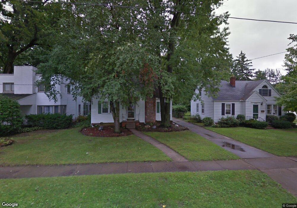
4432 Fir Ln Toledo, OH 43613
DeVeaux NeighborhoodEstimated Value: $129,000 - $166,000
2
Beds
1
Bath
1,333
Sq Ft
$112/Sq Ft
Est. Value
About This Home
This home is located at 4432 Fir Ln, Toledo, OH 43613 and is currently estimated at $149,238, approximately $111 per square foot. 4432 Fir Ln is a home located in Lucas County with nearby schools including DeVeaux Elementary School, Start High School, and Horizon Science Academy - Toledo High School.
Ownership History
Date
Name
Owned For
Owner Type
Purchase Details
Closed on
Mar 23, 2005
Sold by
Miller Victor R and Miller Jeanne K
Bought by
Miller Richard W
Current Estimated Value
Home Financials for this Owner
Home Financials are based on the most recent Mortgage that was taken out on this home.
Original Mortgage
$55,000
Outstanding Balance
$28,068
Interest Rate
5.71%
Mortgage Type
FHA
Estimated Equity
$121,170
Purchase Details
Closed on
Aug 2, 1990
Sold by
Miller V A and P A
Create a Home Valuation Report for This Property
The Home Valuation Report is an in-depth analysis detailing your home's value as well as a comparison with similar homes in the area
Home Values in the Area
Average Home Value in this Area
Purchase History
| Date | Buyer | Sale Price | Title Company |
|---|---|---|---|
| Miller Richard W | $70,000 | -- | |
| -- | -- | -- |
Source: Public Records
Mortgage History
| Date | Status | Borrower | Loan Amount |
|---|---|---|---|
| Open | Miller Richard W | $55,000 |
Source: Public Records
Tax History Compared to Growth
Tax History
| Year | Tax Paid | Tax Assessment Tax Assessment Total Assessment is a certain percentage of the fair market value that is determined by local assessors to be the total taxable value of land and additions on the property. | Land | Improvement |
|---|---|---|---|---|
| 2024 | $1,040 | $33,215 | $6,790 | $26,425 |
| 2023 | $2,157 | $33,285 | $4,550 | $28,735 |
| 2022 | $2,146 | $33,285 | $4,550 | $28,735 |
| 2021 | $2,217 | $33,285 | $4,550 | $28,735 |
| 2020 | $2,176 | $28,735 | $3,920 | $24,815 |
| 2019 | $2,109 | $28,735 | $3,920 | $24,815 |
| 2018 | $2,231 | $28,735 | $3,920 | $24,815 |
| 2017 | $2,150 | $28,070 | $3,815 | $24,255 |
| 2016 | $2,149 | $80,200 | $10,900 | $69,300 |
| 2015 | $2,153 | $80,200 | $10,900 | $69,300 |
| 2014 | $1,766 | $28,080 | $3,820 | $24,260 |
| 2013 | $1,766 | $28,080 | $3,820 | $24,260 |
Source: Public Records
Map
Nearby Homes
- 2316 Westbrook Dr
- 2409 Lambert Dr
- 2408 Lambert Dr
- 4318 Bellevue Rd
- 2149 Westbrook Dr
- 4220 Douglas Rd
- 2513 Grantwood Dr
- 2227 Castlewood Dr
- 4128 Douglas Rd
- 4015 Roanoke Rd
- 2285 Fitkin St
- 2310 Tremainsville Rd
- 2640 Westbrook Dr
- 2645 Grantwood Dr
- 2344 Mellwood Ave
- 4440 Woodmont Rd
- 2605 Wyndale Rd
- 3951 Buell Ave
- 2560 Charlestown Ave
- 2447 Portsmouth Ave