Estimated Value: $235,529 - $350,000
2
Beds
1
Bath
900
Sq Ft
$325/Sq Ft
Est. Value
About This Home
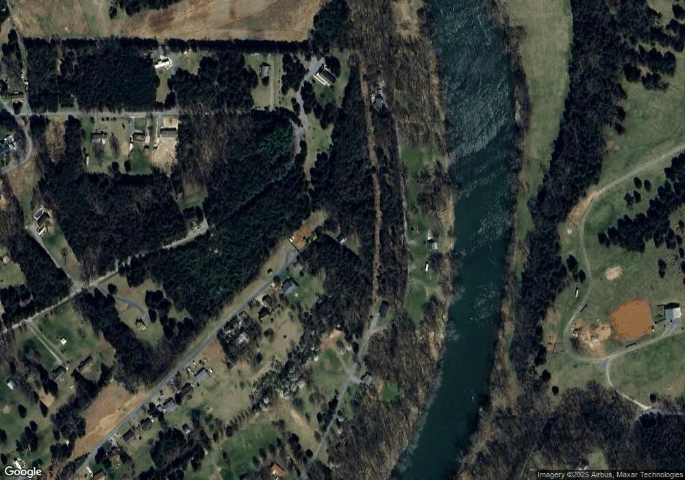
This home is located at 444 Airstrip Rd, Luray, VA 22835 and is currently estimated at $292,765, approximately $325 per square foot. 444 Airstrip Rd is a home located in Page County.
Ownership History
Date
Name
Owned For
Owner Type
Purchase Details
Closed on
Aug 22, 2001
Current Estimated Value
Create a Home Valuation Report for This Property
The Home Valuation Report is an in-depth analysis detailing your home's value as well as a comparison with similar homes in the area
Home Values in the Area
Average Home Value in this Area
Purchase History
| Date | Buyer | Sale Price | Title Company |
|---|---|---|---|
| -- | $60,000 | -- |
Source: Public Records
Tax History Compared to Growth
Tax History
| Year | Tax Paid | Tax Assessment Tax Assessment Total Assessment is a certain percentage of the fair market value that is determined by local assessors to be the total taxable value of land and additions on the property. | Land | Improvement |
|---|---|---|---|---|
| 2025 | $724 | $99,200 | $20,000 | $79,200 |
| 2024 | $724 | $99,200 | $20,000 | $79,200 |
| 2023 | $724 | $99,200 | $20,000 | $79,200 |
| 2022 | $724 | $99,200 | $20,000 | $79,200 |
| 2021 | $724 | $99,200 | $20,000 | $79,200 |
| 2020 | $645 | $88,300 | $18,000 | $70,300 |
| 2019 | $645 | $88,300 | $18,000 | $70,300 |
| 2018 | $618 | $88,300 | $18,000 | $70,300 |
| 2017 | $583 | $88,300 | $18,000 | $70,300 |
| 2016 | $291 | $88,300 | $18,000 | $70,300 |
| 2015 | $620 | $96,900 | $22,500 | $74,400 |
| 2014 | $620 | $96,900 | $22,500 | $74,400 |
Source: Public Records
Map
Nearby Homes
- 432 Airstrip Rd
- 617 Shenandoah Dr
- 537 Shenandoah Dr
- 408 Airstrip Rd
- 701 Riverview Dr
- 693 Shenandoah Dr
- 382 Airstrip Rd
- 488 Shenandoah Dr
- 601 Riverview Dr
- 655 Riverview Dr
- 467 Shenandoah Dr
- 728 Riverview Dr
- 804 Riverview Dr
- 0 Shenandoah Dr
- 326 Airstrip Rd
- 470 Shenandoah Dr
- Lot #41 Riverview Dr
- 458 Shenandoah Dr
- 302 Airstrip Rd
- 881 Riverview Dr
