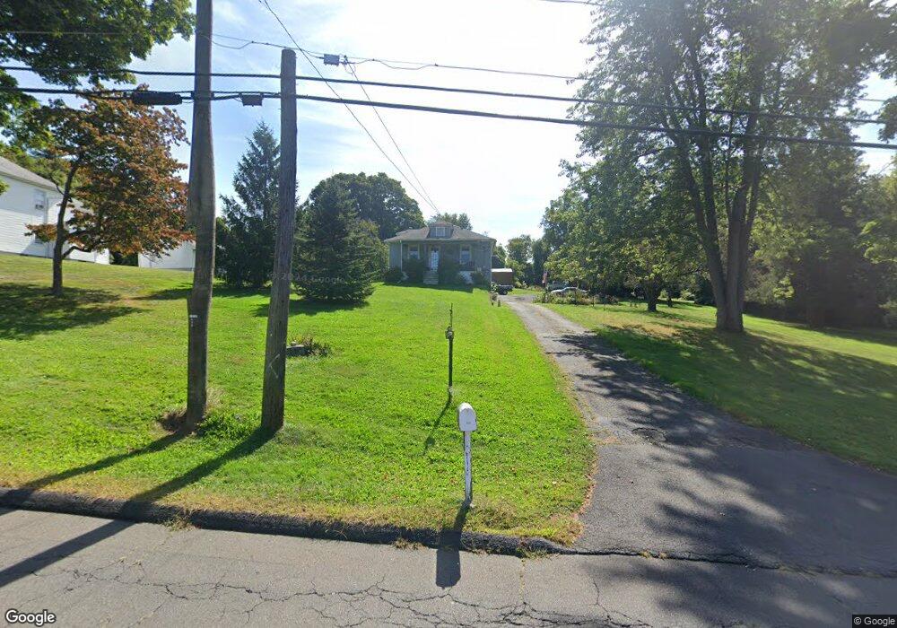
444 Butternut St Middletown, CT 06457
Westfield NeighborhoodEstimated Value: $305,000 - $360,274
2
Beds
2
Baths
1,352
Sq Ft
$249/Sq Ft
Est. Value
About This Home
This home is located at 444 Butternut St, Middletown, CT 06457 and is currently estimated at $337,319, approximately $249 per square foot. 444 Butternut St is a home located in Middlesex County with nearby schools including Wilbert Snow Elementary School, St John Paul II School, and Mercy High School.
Ownership History
Date
Name
Owned For
Owner Type
Purchase Details
Closed on
May 27, 2015
Sold by
Chasser Christine E
Bought by
Chasser Christine E and Chasser Gary A
Current Estimated Value
Purchase Details
Closed on
Oct 12, 2000
Sold by
Sambor Alpha C
Bought by
Sambor Christine E
Create a Home Valuation Report for This Property
The Home Valuation Report is an in-depth analysis detailing your home's value as well as a comparison with similar homes in the area
Home Values in the Area
Average Home Value in this Area
Purchase History
| Date | Buyer | Sale Price | Title Company |
|---|---|---|---|
| Chasser Christine E | -- | -- | |
| Sambor Christine E | $100,000 | -- |
Source: Public Records
Mortgage History
| Date | Status | Borrower | Loan Amount |
|---|---|---|---|
| Previous Owner | Sambor Christine E | $46,000 | |
| Previous Owner | Sambor Christine E | $25,000 |
Source: Public Records
Tax History Compared to Growth
Tax History
| Year | Tax Paid | Tax Assessment Tax Assessment Total Assessment is a certain percentage of the fair market value that is determined by local assessors to be the total taxable value of land and additions on the property. | Land | Improvement |
|---|---|---|---|---|
| 2025 | $7,311 | $187,940 | $77,440 | $110,500 |
| 2024 | $6,916 | $187,940 | $77,440 | $110,500 |
| 2023 | $6,597 | $187,940 | $77,440 | $110,500 |
| 2022 | $5,929 | $134,750 | $48,910 | $85,840 |
| 2021 | $5,626 | $127,870 | $48,910 | $78,960 |
| 2020 | $5,652 | $127,870 | $48,910 | $78,960 |
| 2019 | $5,677 | $127,870 | $48,910 | $78,960 |
| 2018 | $5,588 | $127,870 | $48,910 | $78,960 |
| 2017 | $5,657 | $133,420 | $56,930 | $76,490 |
| 2016 | $5,497 | $133,420 | $56,930 | $76,490 |
| 2015 | $5,169 | $130,520 | $56,930 | $73,590 |
| 2014 | $5,221 | $130,520 | $56,930 | $73,590 |
Source: Public Records
Map
Nearby Homes
- 81 Aresco Dr
- 574 Butternut St
- 160 Boston Rd
- 40 Batt St
- 237 Boston Rd
- 17 Mckenna Dr
- 27 Barbara Rd
- 60 Old Mill Rd
- 18 Phedon Pkwy
- 31 Broadview Pkwy
- 1 Nathan Hale Rd
- 2 Nathan Hale Rd
- 4 Nathan Hale Rd
- 3 Nathan Hale Rd
- 84 Camp St
- 498 Pine St
- 10 Lorelei Cir
- 55 Lorelei Cir
- 128 Highland Ave
- 1271 Washington St Unit 7