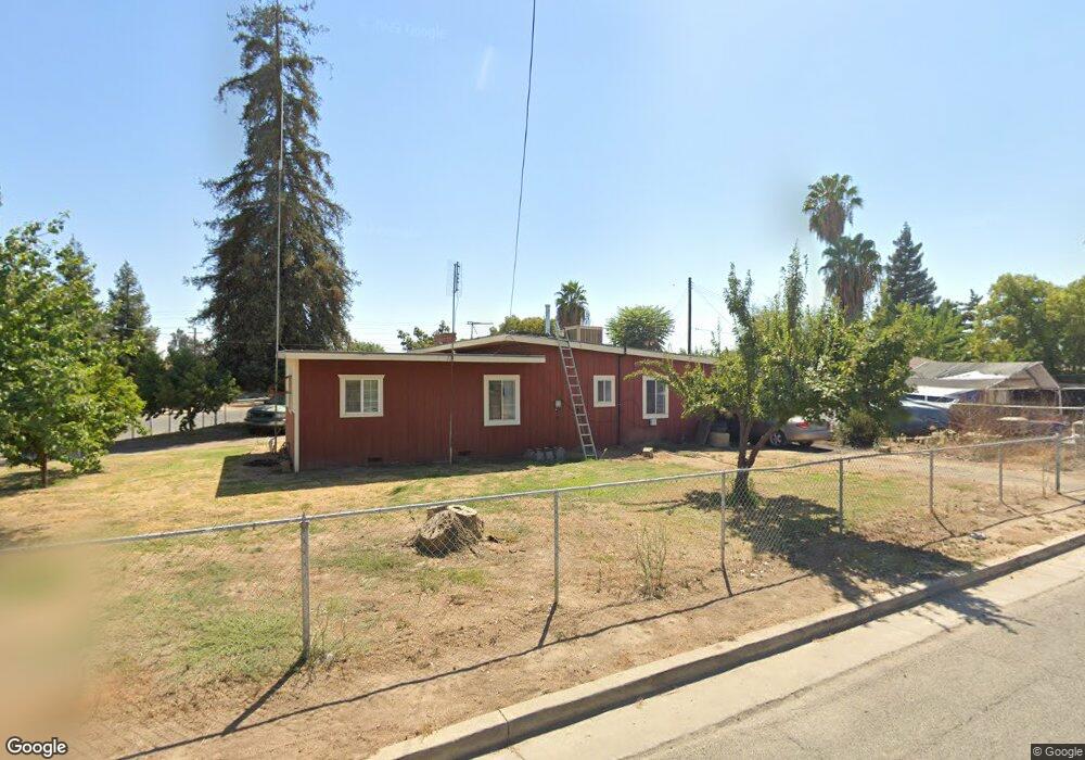
444 E Birch St Farmersville, CA 93223
Estimated Value: $223,000 - $267,000
3
Beds
1
Bath
1,186
Sq Ft
$210/Sq Ft
Est. Value
About This Home
This home is located at 444 E Birch St, Farmersville, CA 93223 and is currently estimated at $249,053, approximately $209 per square foot. 444 E Birch St is a home located in Tulare County with nearby schools including J.E. Hester Elementary School, George L. Snowden Elementary School, and Freedom Elementary School.
Ownership History
Date
Name
Owned For
Owner Type
Purchase Details
Closed on
Nov 15, 2022
Sold by
Castle Debra
Bought by
Ledesma Abraham and Ledesma Mayra
Current Estimated Value
Home Financials for this Owner
Home Financials are based on the most recent Mortgage that was taken out on this home.
Original Mortgage
$154,660
Outstanding Balance
$149,855
Interest Rate
6.94%
Mortgage Type
FHA
Estimated Equity
$99,198
Purchase Details
Closed on
Oct 11, 2000
Sold by
Fatscher Gary N
Bought by
Federal National Mortgage Association
Purchase Details
Closed on
Sep 25, 2000
Sold by
Mahan James
Bought by
Thompson William T and Thompson Frankie C
Create a Home Valuation Report for This Property
The Home Valuation Report is an in-depth analysis detailing your home's value as well as a comparison with similar homes in the area
Home Values in the Area
Average Home Value in this Area
Purchase History
| Date | Buyer | Sale Price | Title Company |
|---|---|---|---|
| Ledesma Abraham | $160,000 | Chicago Title | |
| Federal National Mortgage Association | $57,900 | -- | |
| Koonce Elmer W | $9,505 | -- | |
| Thompson William T | -- | -- |
Source: Public Records
Mortgage History
| Date | Status | Borrower | Loan Amount |
|---|---|---|---|
| Open | Ledesma Abraham | $154,660 | |
| Closed | Ledesma Abraham | $16,000 |
Source: Public Records
Tax History Compared to Growth
Tax History
| Year | Tax Paid | Tax Assessment Tax Assessment Total Assessment is a certain percentage of the fair market value that is determined by local assessors to be the total taxable value of land and additions on the property. | Land | Improvement |
|---|---|---|---|---|
| 2025 | $2,506 | $228,888 | $52,020 | $176,868 |
| 2024 | $2,506 | $72,230 | $19,521 | $52,709 |
| 2023 | $818 | $70,815 | $19,139 | $51,676 |
| 2022 | $682 | $69,427 | $18,764 | $50,663 |
| 2021 | $668 | $68,066 | $18,396 | $49,670 |
| 2020 | $655 | $67,368 | $18,207 | $49,161 |
| 2019 | $667 | $66,047 | $17,850 | $48,197 |
| 2018 | $641 | $64,752 | $17,500 | $47,252 |
| 2017 | $652 | $63,482 | $17,157 | $46,325 |
| 2016 | $609 | $62,238 | $16,821 | $45,417 |
| 2015 | $602 | $61,303 | $16,568 | $44,735 |
| 2014 | $580 | $60,102 | $16,243 | $43,859 |
Source: Public Records
Map
Nearby Homes
- 438 N Magnolia Ave
- 680 E Larry St
- 209 S Magnolia Ave
- 738 E Larry St
- 701 Farmersville Rd
- 327 S Farmersville Blvd
- 885 E Ash St
- 903 E Ash St
- 528 S Camelia Ave
- 896 Farmersville Rd
- 245 W Oakland St
- 0 S Farmersville Blvd Unit 238390
- 732 N Dwight Ave
- 753 N Brundage Ave
- 322 E Citrus Dr
- 896 N Mariposa Ave
- 0 Avenue 288
- 1643 Tehama Ave
- 0 Avenue 288
- 0 Apn 128-030-056-000 Unit 218742
- 371 E Costner St
- 388 E Birch St
- 374 E Costner St
- 347 E Costner St
- 370 E Birch St
- 437 E Birch St
- 419 E Birch St
- 403 E Birch St
- 453 E Birch St
- 344 E Birch St
- 329 E Costner St
- 387 E Birch St
- 465 E Costner St
- 320 E Birch St
- 350 E Costner St
- 371 E Birch St
- 313 E Costner St
- 334 E Costner St
- 310 E Birch St
- 355 E Birch St