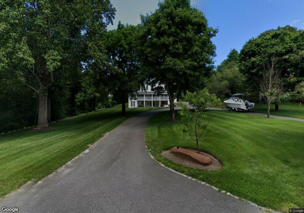
444 Main St West Barnstable, MA 02668
West Barnstable NeighborhoodEstimated Value: $879,000 - $1,797,000
4
Beds
2
Baths
1,657
Sq Ft
$678/Sq Ft
Est. Value
About This Home
This home is located at 444 Main St, West Barnstable, MA 02668 and is currently estimated at $1,124,203, approximately $678 per square foot. 444 Main St is a home located in Barnstable County with nearby schools including West Barnstable Elementary School, Barnstable United Elementary School, and Barnstable Intermediate School.
Ownership History
Date
Name
Owned For
Owner Type
Purchase Details
Closed on
Jul 25, 2018
Sold by
Depaula Daniela W
Bought by
Depaula Alick
Current Estimated Value
Purchase Details
Closed on
Oct 31, 2017
Sold by
Grew Joshua A
Bought by
Depaula Alick and Depaula Daniela W
Home Financials for this Owner
Home Financials are based on the most recent Mortgage that was taken out on this home.
Original Mortgage
$240,000
Interest Rate
3.78%
Mortgage Type
New Conventional
Purchase Details
Closed on
Jun 12, 2007
Sold by
Martin Linda
Bought by
Soares Shirley
Create a Home Valuation Report for This Property
The Home Valuation Report is an in-depth analysis detailing your home's value as well as a comparison with similar homes in the area
Home Values in the Area
Average Home Value in this Area
Purchase History
| Date | Buyer | Sale Price | Title Company |
|---|---|---|---|
| Depaula Alick | -- | -- | |
| Depaula Alick | $50,000 | -- | |
| Depaula Alick | $50,000 | -- | |
| Depaula Alick | $200,000 | -- | |
| Soares Shirley | $60,000 | -- |
Source: Public Records
Mortgage History
| Date | Status | Borrower | Loan Amount |
|---|---|---|---|
| Previous Owner | Depaula Alick | $240,000 |
Source: Public Records
Tax History
| Year | Tax Paid | Tax Assessment Tax Assessment Total Assessment is a certain percentage of the fair market value that is determined by local assessors to be the total taxable value of land and additions on the property. | Land | Improvement |
|---|---|---|---|---|
| 2025 | $7,993 | $855,800 | $398,200 | $457,600 |
| 2024 | $7,343 | $855,800 | $398,200 | $457,600 |
| 2023 | $7,261 | $797,000 | $403,600 | $393,400 |
| 2022 | $6,814 | $613,300 | $282,600 | $330,700 |
| 2021 | $6,246 | $532,900 | $300,300 | $232,600 |
| 2020 | $5,956 | $491,400 | $255,100 | $236,300 |
| 2019 | $4,397 | $358,100 | $269,200 | $88,900 |
| 2018 | $0 | $372,000 | $268,500 | $103,500 |
| 2017 | $4,591 | $375,100 | $276,000 | $99,100 |
| 2016 | $4,497 | $375,100 | $276,000 | $99,100 |
| 2015 | $4,466 | $373,400 | $282,800 | $90,600 |
Source: Public Records
Map
Nearby Homes
- 50 Wayside Ln
- 510 Cedar St
- 75 Old Toll Rd
- 3 Mulberry Cir
- 6 Harpers Hollow
- 46 Service Rd
- 4 Wing Blvd
- 282 Parker Rd
- 159 Great Hill Rd
- 566 Route 6a
- 29 Fish House Rd
- 0 Captain Kidd Rd
- 50 Currycomb Cir
- 74 Saddler Ln
- 507 Route 6a Unit 9
- 120 Great Hill Dr
- 32 Willington Ave
- 80 Branch Terrace
- 324 Patriot Way
- 1044 Old Falmouth Rd
- 444 Main St
- 442 Main St
- 462 Main St
- 0 High St Lot 2
- 0 High St Lot 1
- 0 High St Unit 8046688
- 0 High St Unit 7031146
- 0 High St Unit 8038916
- 0 High St Unit 21509297
- 0 High St Unit 21509296
- 0 High St Unit 21711544
- 0 High St Unit LOT 1 21803145
- 0 High St Unit LOT 2 21803147
- 21 Meadow Ln
- 390 Main St
- 20 High St
- 398 Main St Unit A3
- 400 Main St
- 39 Meadow Ln
- 40 High St
Your Personal Tour Guide
Ask me questions while you tour the home.