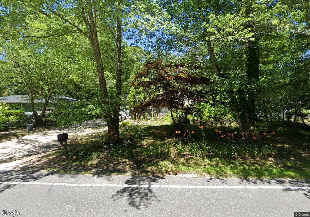
444 River Rd Shirley, NY 11967
Estimated Value: $513,983 - $552,000
5
Beds
2
Baths
1,145
Sq Ft
$467/Sq Ft
Est. Value
About This Home
This home is located at 444 River Rd, Shirley, NY 11967 and is currently estimated at $534,496, approximately $466 per square foot. 444 River Rd is a home located in Suffolk County with nearby schools including Longwood Junior High School, Longwood Middle School, and Longwood Senior High School.
Ownership History
Date
Name
Owned For
Owner Type
Purchase Details
Closed on
Oct 29, 2018
Sold by
Koska Shari
Bought by
Koska Richard T
Current Estimated Value
Purchase Details
Closed on
Apr 29, 2008
Purchase Details
Closed on
Sep 27, 2001
Sold by
Baldwin Ann Marie
Bought by
Koska Richard T and Bock Shari J
Home Financials for this Owner
Home Financials are based on the most recent Mortgage that was taken out on this home.
Original Mortgage
$156,750
Interest Rate
6.16%
Mortgage Type
Purchase Money Mortgage
Create a Home Valuation Report for This Property
The Home Valuation Report is an in-depth analysis detailing your home's value as well as a comparison with similar homes in the area
Home Values in the Area
Average Home Value in this Area
Purchase History
| Date | Buyer | Sale Price | Title Company |
|---|---|---|---|
| Koska Richard T | -- | -- | |
| -- | -- | -- | |
| Koska Richard T | $165,000 | Fidelity National Title Ins |
Source: Public Records
Mortgage History
| Date | Status | Borrower | Loan Amount |
|---|---|---|---|
| Previous Owner | Koska Richard T | $156,750 |
Source: Public Records
Tax History Compared to Growth
Tax History
| Year | Tax Paid | Tax Assessment Tax Assessment Total Assessment is a certain percentage of the fair market value that is determined by local assessors to be the total taxable value of land and additions on the property. | Land | Improvement |
|---|---|---|---|---|
| 2024 | $7,926 | $1,800 | $200 | $1,600 |
| 2023 | $7,926 | $1,800 | $200 | $1,600 |
| 2022 | $7,314 | $1,800 | $200 | $1,600 |
| 2021 | $7,314 | $1,800 | $200 | $1,600 |
| 2020 | $7,457 | $1,800 | $200 | $1,600 |
| 2019 | $7,457 | $0 | $0 | $0 |
| 2018 | $7,124 | $1,800 | $200 | $1,600 |
| 2017 | $7,124 | $1,800 | $200 | $1,600 |
| 2016 | $7,043 | $1,800 | $200 | $1,600 |
| 2015 | -- | $1,800 | $200 | $1,600 |
| 2014 | -- | $1,800 | $200 | $1,600 |
Source: Public Records
Map
Nearby Homes
- 65 Colin Dr
- 34 Belmont Dr
- 283 W End Ave
- 68 Crestwood Dr
- 8 & 11 William Floyd Pkwy
- 411 Glen Dr
- VL Glen Dr
- 313 Decatur Ave
- 336 Auborn Ave
- 1330 William Floyd Pkwy
- 140 Celine Ln Unit 12
- The Birch Plan at Country Pointe Preserve
- The Cedar Plan at Country Pointe Preserve
- The Greenbrier Plan at Country Pointe Preserve
- The Aster Plan at Country Pointe Preserve
- The Dogwood Plan at Country Pointe Preserve
- The Juniper Plan at Country Pointe Preserve
- The Hickory Plan at Country Pointe Preserve
- The Aspen Plan at Country Pointe Preserve
- 334 Carnation Dr