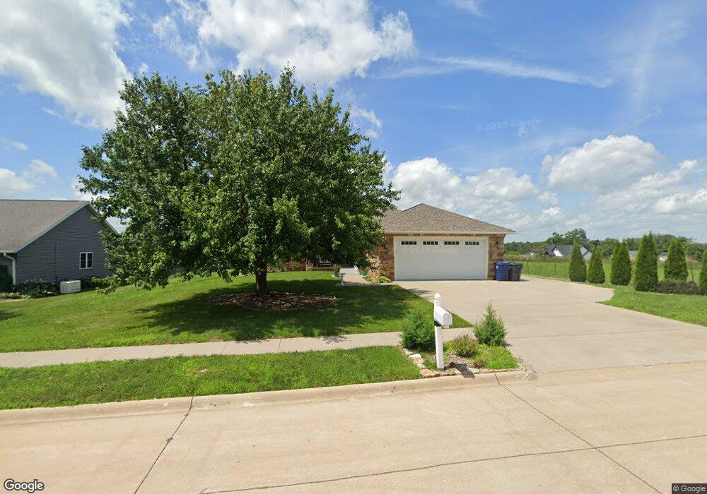
444 S 19th St Unit Street Clinton, IA 52732
Estimated Value: $411,000 - $438,000
3
Beds
4
Baths
1,904
Sq Ft
$223/Sq Ft
Est. Value
About This Home
This home is located at 444 S 19th St Unit Street, Clinton, IA 52732 and is currently estimated at $424,601, approximately $223 per square foot. 444 S 19th St Unit Street is a home located in Clinton County with nearby schools including Whittier Elementary School, Clinton Middle School, and Clinton High School.
Ownership History
Date
Name
Owned For
Owner Type
Purchase Details
Closed on
Aug 7, 2024
Sold by
Stanton Milton and Stanton Janice
Bought by
Janice Stanton Living Trust and Mac Stanton Living Trust
Current Estimated Value
Purchase Details
Closed on
Oct 8, 2020
Sold by
Saionz Jeffery A and Saionz Nancy L
Bought by
Stanton Milton and Stanton Janice
Purchase Details
Closed on
Dec 2, 2016
Sold by
Dorathy Mitzi J
Bought by
Saionz Jeffery A and Saionz Nancy L
Create a Home Valuation Report for This Property
The Home Valuation Report is an in-depth analysis detailing your home's value as well as a comparison with similar homes in the area
Home Values in the Area
Average Home Value in this Area
Purchase History
| Date | Buyer | Sale Price | Title Company |
|---|---|---|---|
| Janice Stanton Living Trust | -- | None Listed On Document | |
| Stanton Milton | $329,000 | None Available | |
| Saionz Jeffery A | $183,500 | Attorney |
Source: Public Records
Tax History Compared to Growth
Tax History
| Year | Tax Paid | Tax Assessment Tax Assessment Total Assessment is a certain percentage of the fair market value that is determined by local assessors to be the total taxable value of land and additions on the property. | Land | Improvement |
|---|---|---|---|---|
| 2025 | $6,542 | $420,490 | $37,030 | $383,460 |
| 2024 | $6,542 | $370,200 | $37,030 | $333,170 |
| 2023 | $6,442 | $370,200 | $37,030 | $333,170 |
| 2022 | $6,350 | $302,740 | $32,200 | $270,540 |
| 2021 | $4,772 | $302,740 | $32,200 | $270,540 |
| 2020 | $4,772 | $215,299 | $28,405 | $186,894 |
| 2019 | $4,928 | $215,299 | $0 | $0 |
| 2018 | $4,482 | $215,299 | $0 | $0 |
| 2017 | $4,536 | $201,837 | $0 | $0 |
| 2016 | $4,384 | $201,837 | $0 | $0 |
| 2015 | $4,384 | $201,837 | $0 | $0 |
| 2014 | $4,402 | $201,837 | $0 | $0 |
| 2013 | $4,334 | $0 | $0 | $0 |
Source: Public Records
Map
Nearby Homes
- 1825 5th Ave S
- 504 Mill Ridge Rd
- 1836 Zara Trace
- 1830 Zara Trace
- 1824 Zara Trace
- 1818 Zara Trace
- 1813 Zara Trace St
- 1805 Zara Trace
- 1825 Zara Trace
- 1819 Zara Trace
- 1837 Zara Trace
- 1924 Zara Trace
- 1916 Zara Trace
- 1908 Zara Trace
- 1940 Zara Trace
- 1907 Zara Trace
- 1915 Zara Trace
- 1921 Zara Trace
- 1933 Zara Trace
- 819 Millcrest Ct
- 500 S 19th St
- 444 S 19th St
- 450 S 19th St
- 450 S 19th St Unit 2
- 450 S 19th St
- 451 Mill Ridge Rd
- 516 S 19th St
- 1836 5th Ave S
- 445 Mill Ridge Rd
- 508 S 19th St
- 501 S 19th St
- 501 Mill Ridge Rd
- 1830 5th Ave S
- 507 Mill Ridge Rd
- 1831 5th Ave S
- 1900 Mill Ct
- 515 S 19th St
- 432 Mill Ridge Rd
- 436 Mill Ridge Rd
- 428 Mill Ridge Rd