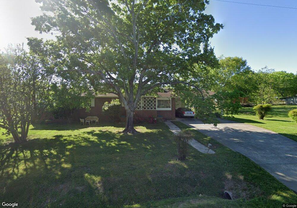
444 S Main St Franklinton, NC 27525
Estimated Value: $263,000 - $340,000
3
Beds
1
Bath
2,204
Sq Ft
$132/Sq Ft
Est. Value
About This Home
This home is located at 444 S Main St, Franklinton, NC 27525 and is currently estimated at $290,467, approximately $131 per square foot. 444 S Main St is a home located in Franklin County with nearby schools including Franklinton Elementary School, Franklinton Middle School, and Franklinton High School.
Ownership History
Date
Name
Owned For
Owner Type
Purchase Details
Closed on
Oct 16, 2023
Sold by
Moses Steven and Moses Kimberly
Bought by
Palmer Brian G and Palmer Ivey W
Current Estimated Value
Home Financials for this Owner
Home Financials are based on the most recent Mortgage that was taken out on this home.
Original Mortgage
$286,833
Outstanding Balance
$281,392
Interest Rate
7.31%
Mortgage Type
FHA
Estimated Equity
$9,075
Purchase Details
Closed on
Sep 3, 2010
Sold by
Eley Gloria B and Eley William C
Bought by
Brodie Priscilla A
Purchase Details
Closed on
Feb 13, 2008
Sold by
Eley Gloria B and Eley William C
Bought by
Brodie Priscilla A and Eley Gloria B
Create a Home Valuation Report for This Property
The Home Valuation Report is an in-depth analysis detailing your home's value as well as a comparison with similar homes in the area
Home Values in the Area
Average Home Value in this Area
Purchase History
| Date | Buyer | Sale Price | Title Company |
|---|---|---|---|
| Palmer Brian G | $510,000 | None Listed On Document | |
| Palmer Brian G | $510,000 | None Listed On Document | |
| Brodie Priscilla A | -- | None Available | |
| Brodie Priscilla A | -- | None Available |
Source: Public Records
Mortgage History
| Date | Status | Borrower | Loan Amount |
|---|---|---|---|
| Open | Palmer Brian G | $286,833 | |
| Closed | Palmer Brian G | $286,833 |
Source: Public Records
Tax History Compared to Growth
Tax History
| Year | Tax Paid | Tax Assessment Tax Assessment Total Assessment is a certain percentage of the fair market value that is determined by local assessors to be the total taxable value of land and additions on the property. | Land | Improvement |
|---|---|---|---|---|
| 2024 | $1,584 | $260,918 | $78,018 | $182,900 |
| 2023 | $1,316 | $139,420 | $22,330 | $117,090 |
| 2022 | $1,292 | $139,420 | $22,330 | $117,090 |
| 2021 | $1,306 | $139,420 | $22,330 | $117,090 |
| 2020 | $1,314 | $139,420 | $22,330 | $117,090 |
| 2019 | $1,293 | $139,420 | $22,330 | $117,090 |
| 2018 | $1,288 | $139,420 | $22,330 | $117,090 |
| 2017 | $1,033 | $99,300 | $22,330 | $76,970 |
| 2016 | $1,061 | $99,300 | $22,330 | $76,970 |
| 2015 | $1,053 | $99,300 | $22,330 | $76,970 |
| 2014 | $976 | $99,300 | $22,330 | $76,970 |
Source: Public Records
Map
Nearby Homes
- 0 Hawkins St
- 411 Mangum Way
- 540 S Cheatham St
- 144 Howard Harris Rd
- 443 S Main St
- 15 Gerrard St
- 216 E College St
- 218 E College St
- 11 Elm St Unit 62
- 16 S Hillsborough St
- 204 Bullock St
- 15 Gerrad St Unit 64
- 13 Gerrad St Unit 63
- 61.94 Acres Timberlake Rd
- 1.85 Acres Timberlake Rd
- 604 S Chavis St
- 135 Carlton Ln
- 11 Gerrard St
- 13 Gerrard St
- 113 Blandford St
- 30 Burning Bluff Dr
- 20 Burning Bluff Dr
- 70 Burning Bluff Dr
- 40 Hickory Run Ln
- 40 Burning Bluff Dr
- 10 Burning Bluff Dr
- 60 Hickory Run Ln
- 85 Burning Bluff Dr
- 25 Hickory Run Ln
- 65 Burning Bluff Dr
- 45 Burning Bluff Dr
- 50 Hickory Run Ln
- 35 Burning Bluff Dr
- 90 Burning Bluff Dr
- 70 Hickory Run Ln
- 80 Hickory Run Ln
- 90 Hickory Run Ln
- 55 Burning Bluff Dr Unit Woodlief 61
- 10 Hickory Run Ln Unit Woodlief Lot 1
- 15 Hickory Run Ln Unit Woodlief Lot 156