444 State Route 217 Latrobe, PA 15650
Estimated Value: $68,160 - $270,000
--
Bed
--
Bath
--
Sq Ft
0.3
Acres
About This Home
This home is located at 444 State Route 217, Latrobe, PA 15650 and is currently estimated at $174,540. 444 State Route 217 is a home located in Westmoreland County with nearby schools including Grandview Elementary School, Derry Area Middle School, and Derry Area Senior High School.
Ownership History
Date
Name
Owned For
Owner Type
Purchase Details
Closed on
Dec 17, 2024
Sold by
Irvin Robert J and Irvin Marlene A
Bought by
Irvin Robert J and Irvin Marlene A
Current Estimated Value
Home Financials for this Owner
Home Financials are based on the most recent Mortgage that was taken out on this home.
Original Mortgage
$50,875
Outstanding Balance
$50,474
Interest Rate
6.78%
Mortgage Type
FHA
Estimated Equity
$124,066
Create a Home Valuation Report for This Property
The Home Valuation Report is an in-depth analysis detailing your home's value as well as a comparison with similar homes in the area
Home Values in the Area
Average Home Value in this Area
Purchase History
| Date | Buyer | Sale Price | Title Company |
|---|---|---|---|
| Irvin Robert J | -- | Lampl Settlement Services |
Source: Public Records
Mortgage History
| Date | Status | Borrower | Loan Amount |
|---|---|---|---|
| Open | Irvin Robert J | $50,875 |
Source: Public Records
Tax History Compared to Growth
Tax History
| Year | Tax Paid | Tax Assessment Tax Assessment Total Assessment is a certain percentage of the fair market value that is determined by local assessors to be the total taxable value of land and additions on the property. | Land | Improvement |
|---|---|---|---|---|
| 2025 | $2,148 | $17,280 | $2,380 | $14,900 |
| 2024 | $2,148 | $17,280 | $2,380 | $14,900 |
| 2023 | $2,027 | $17,280 | $2,380 | $14,900 |
| 2022 | $2,009 | $17,280 | $2,380 | $14,900 |
| 2021 | $2,009 | $17,280 | $2,380 | $14,900 |
| 2020 | $1,975 | $17,280 | $2,380 | $14,900 |
| 2019 | $1,932 | $17,280 | $2,380 | $14,900 |
| 2018 | $1,845 | $17,280 | $2,380 | $14,900 |
| 2017 | $1,797 | $17,280 | $2,380 | $14,900 |
| 2016 | $1,719 | $17,280 | $2,380 | $14,900 |
| 2015 | $1,719 | $17,280 | $2,380 | $14,900 |
| 2014 | $1,719 | $17,280 | $2,380 | $14,900 |
Source: Public Records
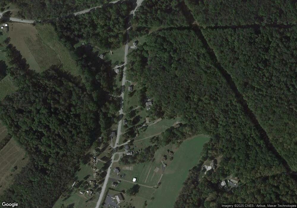
Map
Nearby Homes
- 510 Pennsylvania 217
- 515 Sunview Cir
- 498 Sunview Cir
- 1224 High St
- 219 10th St
- 211 10th St
- 147 N Valley St
- 408 Highview St
- 913 W 1st Ave
- 4974 State Route 982
- 213 Greenfield Rd
- 104 Clifton St
- 793 Victoria Way
- 707 Victoria Way
- 604 W 4th Ave
- 33 Brinker St
- 715 Victoria Way
- 332 Richmond St
- 520 W 2nd Ave
- 729 Victoria Way
- 438 State Route 217
- 425 State Route 217
- 449 State Route 217
- 441 State Route 217
- 461 Pennsylvania 217
- 430 State Route 217
- 461 Route 217
- 461 State Route 217
- 436 State Route 217
- 437 State Route 217
- 428 State Route 217
- 418 State Route 217
- 427 State Route 217
- 420 State Route 217
- 471 State Route 217
- 471 State Route 217
- 423 State Route 217
- 416 State Route 217
- 419 State Route 217
- 415 State Route 217