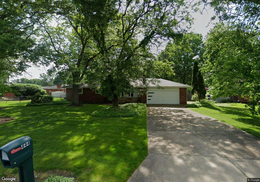
444 Trunko Rd Fairlawn, OH 44333
Estimated Value: $297,443 - $322,000
3
Beds
2
Baths
1,596
Sq Ft
$196/Sq Ft
Est. Value
About This Home
This home is located at 444 Trunko Rd, Fairlawn, OH 44333 and is currently estimated at $313,361, approximately $196 per square foot. 444 Trunko Rd is a home located in Summit County with nearby schools including Copley-Fairlawn Middle School, Copley High School, and Fairlawn Lutheran School.
Ownership History
Date
Name
Owned For
Owner Type
Purchase Details
Closed on
Mar 30, 2011
Sold by
Parker Archie L
Bought by
Parker Archie L and Parker Sara L
Current Estimated Value
Home Financials for this Owner
Home Financials are based on the most recent Mortgage that was taken out on this home.
Original Mortgage
$114,500
Interest Rate
5.04%
Mortgage Type
Stand Alone Refi Refinance Of Original Loan
Create a Home Valuation Report for This Property
The Home Valuation Report is an in-depth analysis detailing your home's value as well as a comparison with similar homes in the area
Home Values in the Area
Average Home Value in this Area
Purchase History
| Date | Buyer | Sale Price | Title Company |
|---|---|---|---|
| Parker Archie L | -- | Cleveland Home Title |
Source: Public Records
Mortgage History
| Date | Status | Borrower | Loan Amount |
|---|---|---|---|
| Previous Owner | Parker Archie L | $114,500 |
Source: Public Records
Tax History Compared to Growth
Tax History
| Year | Tax Paid | Tax Assessment Tax Assessment Total Assessment is a certain percentage of the fair market value that is determined by local assessors to be the total taxable value of land and additions on the property. | Land | Improvement |
|---|---|---|---|---|
| 2025 | $3,301 | $92,400 | $18,592 | $73,808 |
| 2024 | $3,301 | $92,400 | $18,592 | $73,808 |
| 2023 | $3,301 | $92,400 | $18,592 | $73,808 |
| 2022 | $2,916 | $69,521 | $13,979 | $55,542 |
| 2021 | $2,739 | $69,521 | $13,979 | $55,542 |
| 2020 | $2,678 | $69,520 | $13,980 | $55,540 |
| 2019 | $2,439 | $58,230 | $12,500 | $45,730 |
| 2018 | $2,390 | $58,230 | $12,500 | $45,730 |
| 2017 | $2,315 | $58,230 | $12,500 | $45,730 |
| 2016 | $2,313 | $53,640 | $12,500 | $41,140 |
| 2015 | $2,315 | $53,640 | $12,500 | $41,140 |
| 2014 | $2,307 | $53,640 | $12,500 | $41,140 |
| 2013 | $2,312 | $53,870 | $12,500 | $41,370 |
Source: Public Records
Map
Nearby Homes
- 360 Marviel Dr
- 482 Gresham Dr
- 462 Gresham Dr
- 3143 Morewood Rd
- 3354 Bancroft Rd
- 0 Brunsdorph Rd
- 3340 Willow Ln
- V/L White Tail Ridge Dr
- 278 Chestnut Ln
- 1012 Bunker Dr Unit 304
- 786 Brunsdorph Rd
- 3404 S Smith Rd
- 288 Kenridge Rd
- 242 Elm Ln
- 3317 Morewood Rd
- 342 S Miller Rd
- 3475 Bancroft Rd
- 3430 Links Dr
- 3451 Stanley Rd
- 804 Miramar Ln
- 3132 Coy Dr
- 3105 Dowling Dr
- 3117 Dowling Dr
- 3127 Dowling Dr
- 3144 Coy Dr
- V/L Dowling Dr
- 3137 Dowling Dr
- 3149 Coy Dr
- 3108 Dowling Dr
- 3118 Dowling Dr
- 414 Trunko Rd
- 3100 Dowling Dr
- 3128 Dowling Dr
- 479 Beaumont Dr
- 3149 Dowling Dr
- 3138 Dowling Dr
- 469 Beaumont Dr
- 483 Trunko Rd
- 3148 Edington Rd
- 459 Beaumont Dr