444 Tumbleweed Trail Denison, TX 75021
Estimated Value: $359,052 - $399,000
3
Beds
2
Baths
2,013
Sq Ft
$188/Sq Ft
Est. Value
About This Home
This home is located at 444 Tumbleweed Trail, Denison, TX 75021 and is currently estimated at $379,026, approximately $188 per square foot. 444 Tumbleweed Trail is a home located in Grayson County with nearby schools including Lamar Elementary School, Scott Middle School, and Denison High School.
Ownership History
Date
Name
Owned For
Owner Type
Purchase Details
Closed on
Mar 12, 2008
Sold by
Garcia Samuel A and Garcia Marla L
Bought by
Mannon Jean
Current Estimated Value
Home Financials for this Owner
Home Financials are based on the most recent Mortgage that was taken out on this home.
Original Mortgage
$115,200
Outstanding Balance
$71,691
Interest Rate
5.72%
Mortgage Type
Purchase Money Mortgage
Estimated Equity
$307,335
Create a Home Valuation Report for This Property
The Home Valuation Report is an in-depth analysis detailing your home's value as well as a comparison with similar homes in the area
Home Values in the Area
Average Home Value in this Area
Purchase History
| Date | Buyer | Sale Price | Title Company |
|---|---|---|---|
| Mannon Jean | -- | Chapin Title Co Inc |
Source: Public Records
Mortgage History
| Date | Status | Borrower | Loan Amount |
|---|---|---|---|
| Open | Mannon Jean | $115,200 |
Source: Public Records
Tax History Compared to Growth
Tax History
| Year | Tax Paid | Tax Assessment Tax Assessment Total Assessment is a certain percentage of the fair market value that is determined by local assessors to be the total taxable value of land and additions on the property. | Land | Improvement |
|---|---|---|---|---|
| 2025 | $3,800 | $231,221 | $41,791 | $189,430 |
| 2024 | $3,800 | $235,266 | $40,487 | $194,779 |
| 2023 | $4,290 | $265,281 | $64,966 | $200,315 |
| 2022 | $4,419 | $255,751 | $49,887 | $205,864 |
| 2021 | $3,777 | $201,467 | $32,298 | $169,169 |
| 2020 | $4,167 | $209,339 | $22,319 | $187,020 |
| 2019 | $4,348 | $209,472 | $22,319 | $187,153 |
| 2018 | $3,996 | $186,134 | $22,199 | $163,935 |
| 2017 | $3,770 | $174,497 | $18,545 | $155,952 |
| 2016 | $3,653 | $178,444 | $15,147 | $163,297 |
| 2015 | $0 | $153,735 | $19,506 | $134,229 |
| 2014 | -- | $143,109 | $18,897 | $124,212 |
Source: Public Records
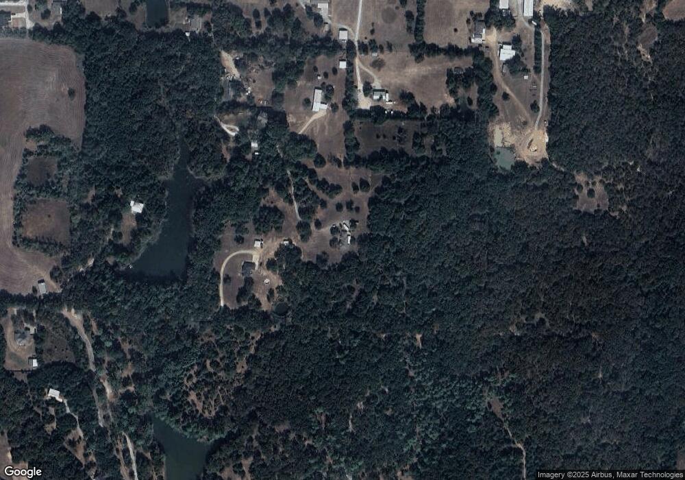
Map
Nearby Homes
- 230 Frosty Hollow Rd
- 3105 U S 69
- TBD Johnson Rd
- 249 Martin Dr
- 21 Chaparral Estates Dr
- TBD Cross Timber Estates Dr
- 1805 Arthur Rd
- 1513 Desvoignes Rd
- 1651 Desvoignes Rd
- TBD N Highway 69
- 248 Karen Dr
- 3557 US Highway 69
- 413 Rolling Acres Rd
- 66 Shady Woods Ln
- 40 Cumberland Cir
- 105 Cumberland Cir
- 1747 Desvoignes Rd
- 153 Kelsey Rd
- TBD Ledbetter Ln
- 1549 Starr Rd
- 677 Arthur Rd
- 446 Tumbleweed Trail
- 308 Silver Spur Dr
- 414 Tumbleweed Trail
- 653 Arthur Rd
- TBD Tumbleweed Trail
- 723 Arthur Rd
- 214 Silver Spur Dr
- 267 Tumbleweed Trail
- 234 Silver Spur Dr
- 358 Silver Spur Dr
- 217 Silver Spur Dr
- 206 Silver Spur Dr
- 690 Arthur Rd
- 281 Silver Spur Dr
- 202 Tumbleweed Trail
- 778 Arthur Rd
- 628 Arthur Rd
- 180 Silver Spur Dr
- 187 Tumbleweed Trail