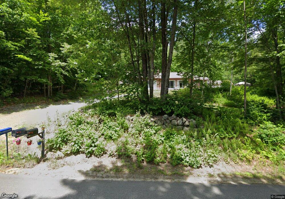
444 Windsor Rd Windsor, NH 03244
Hillsboro NeighborhoodEstimated Value: $378,000 - $422,000
2
Beds
2
Baths
1,566
Sq Ft
$250/Sq Ft
Est. Value
About This Home
This home is located at 444 Windsor Rd, Windsor, NH 03244 and is currently estimated at $390,903, approximately $249 per square foot. 444 Windsor Rd is a home with nearby schools including Hillsboro-Deering Elementary School, Hillsboro-Deering High School, and Hillsboro Christian School.
Ownership History
Date
Name
Owned For
Owner Type
Purchase Details
Closed on
Apr 28, 2004
Sold by
Houghton Ronald Francis and Houghton Eileen
Bought by
Pouliot Pierre R and Pouliot Claire E
Current Estimated Value
Home Financials for this Owner
Home Financials are based on the most recent Mortgage that was taken out on this home.
Original Mortgage
$50,000
Outstanding Balance
$23,212
Interest Rate
5.36%
Mortgage Type
Purchase Money Mortgage
Estimated Equity
$367,691
Create a Home Valuation Report for This Property
The Home Valuation Report is an in-depth analysis detailing your home's value as well as a comparison with similar homes in the area
Home Values in the Area
Average Home Value in this Area
Purchase History
| Date | Buyer | Sale Price | Title Company |
|---|---|---|---|
| Pouliot Pierre R | $160,000 | -- |
Source: Public Records
Mortgage History
| Date | Status | Borrower | Loan Amount |
|---|---|---|---|
| Open | Pouliot Pierre R | $50,000 |
Source: Public Records
Tax History Compared to Growth
Tax History
| Year | Tax Paid | Tax Assessment Tax Assessment Total Assessment is a certain percentage of the fair market value that is determined by local assessors to be the total taxable value of land and additions on the property. | Land | Improvement |
|---|---|---|---|---|
| 2024 | $3,208 | $236,551 | $57,451 | $179,100 |
| 2023 | $2,583 | $236,551 | $57,451 | $179,100 |
| 2022 | $802 | $236,551 | $57,451 | $179,100 |
| 2021 | $2,115 | $236,550 | $57,450 | $179,100 |
| 2020 | $731 | $157,046 | $57,446 | $99,600 |
| 2018 | $921 | $157,046 | $57,446 | $99,600 |
| 2017 | $4,046 | $157,042 | $57,442 | $99,600 |
| 2016 | $9,217 | $157,042 | $57,442 | $99,600 |
| 2015 | $2,034 | $135,238 | $38,838 | $96,400 |
| 2014 | $1,976 | $135,238 | $38,838 | $96,400 |
| 2013 | $1,804 | $135,238 | $40,300 | $94,938 |
Source: Public Records
Map
Nearby Homes
- M7/L28 Stowe Mountain Rd
- 162 Rocky Ledge Rd
- 00 Windsor Rd Unit 21
- 134 Hall Rd
- 298 2nd New Hampshire Turnpike Unit 10-038-000
- 298 2nd New Hampshire Turnpike
- 6 McColley Rd
- 237 2nd New Hampshire Turnpike
- 204 Keene Rd
- Lot 77-7 E Washington Rd
- 2379 E Washington Rd
- Lot 14 Old Mill Farm Rd
- 2167 Valley Rd
- 1016 Shedd Hill Rd
- 906 Shedd Hill Rd
- 447 Center Rd
- 2381 E Washington Rd
- 0 Center Rd
- 0 Route 202 Route Unit 4983445
- 116 Beaver Lake Dr
- 443 Windsor Rd
- 32 Bessie Leavitt Ln
- 446 Windsor Rd
- 418 Windsor Rd
- 427 Windsor Rd
- 410 Windsor Rd
- 321 Windsor Rd
- 473 Windsor Rd
- 407 Windsor Rd
- Lot 2 Windsor Rd
- 370 Windsor Rd
- 369 Windsor Rd
- Lot #2 Windsor Rd
- Lot#2 Windsor Rd
- Lot 3-5 Valhalla Farm Rd
- Lot 3-6 Valhalla Farm Rd
- 0 Valhalla Farm Rd
- 2 Dodge Hill Rd
- 37 Valhalla Farm Rd
- 22 Dodge Hill Rd