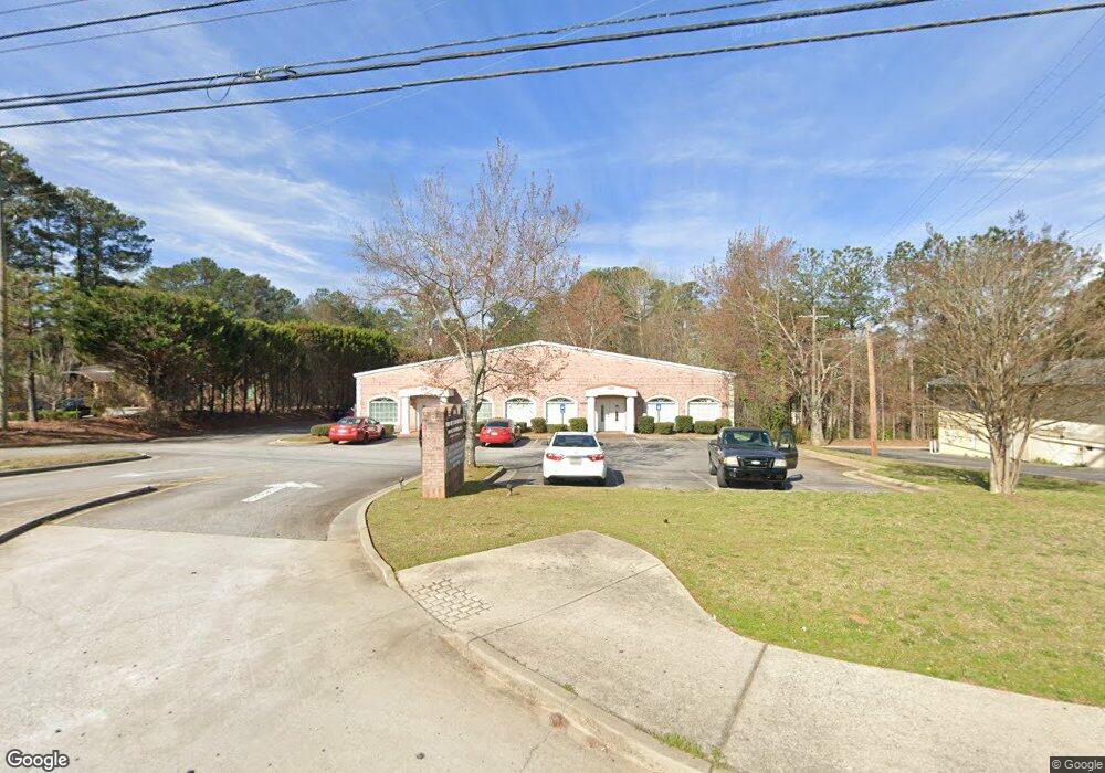
4444 Austell Rd Unit 2000 Austell, GA 30106
Estimated Value: $1,405,605
Studio
2
Baths
5,848
Sq Ft
$240/Sq Ft
Est. Value
About This Home
This home is located at 4444 Austell Rd Unit 2000, Austell, GA 30106 and is currently priced at $1,405,605, approximately $240 per square foot. 4444 Austell Rd Unit 2000 is a home located in Cobb County with nearby schools including Clarkdale Elementary School, Garrett Middle School, and South Cobb High School.
Ownership History
Date
Name
Owned For
Owner Type
Purchase Details
Closed on
Feb 11, 2025
Sold by
Figueroa Family Revocable Trust and Figueroa Shahrzad
Bought by
Syo Physicians Llc
Current Estimated Value
Home Financials for this Owner
Home Financials are based on the most recent Mortgage that was taken out on this home.
Original Mortgage
$1,400,000
Outstanding Balance
$1,361,225
Interest Rate
6.13%
Mortgage Type
New Conventional
Purchase Details
Closed on
Sep 26, 2014
Sold by
Figueroa Shahrzad
Bought by
Figueroa Shahrzad and Figueroa Family Revocable Trust
Create a Home Valuation Report for This Property
The Home Valuation Report is an in-depth analysis detailing your home's value as well as a comparison with similar homes in the area
Home Values in the Area
Average Home Value in this Area
Purchase History
We collect this data history from publicly available records. To have your information removed, we recommend requesting removal directly through your county’s website.
| Date | Buyer | Sale Price | Title Company |
|---|---|---|---|
| Syo Physicians Llc | $1,400,000 | None Listed On Document | |
| Syo Physicians Llc | $1,400,000 | None Listed On Document | |
| Figueroa Shahrzad | -- | -- |
Source: Public Records
Mortgage History
We collect this data history from publicly available records. To have your information removed, we recommend requesting removal directly through your county’s website.
| Date | Status | Borrower | Loan Amount |
|---|---|---|---|
| Open | Syo Physicians Llc | $1,400,000 | |
| Closed | Syo Physicians Llc | $1,400,000 |
Source: Public Records
Tax History
| Year | Tax Paid | Tax Assessment Tax Assessment Total Assessment is a certain percentage of the fair market value that is determined by local assessors to be the total taxable value of land and additions on the property. | Land | Improvement |
|---|---|---|---|---|
| 2025 | $18,885 | $626,800 | $87,252 | $539,548 |
| 2024 | $18,898 | $626,800 | $87,252 | $539,548 |
| 2023 | $18,881 | $626,240 | $87,252 | $538,988 |
| 2022 | $19,006 | $626,240 | $56,380 | $569,860 |
| 2021 | $19,006 | $626,240 | $56,380 | $569,860 |
| 2020 | $19,006 | $626,240 | $56,380 | $569,860 |
| 2019 | $17,998 | $593,000 | $56,380 | $536,620 |
| 2018 | $17,998 | $593,000 | $56,380 | $536,620 |
| 2017 | $17,049 | $593,000 | $56,380 | $536,620 |
| 2016 | $15,807 | $549,800 | $46,984 | $502,816 |
| 2015 | $16,197 | $549,800 | $46,984 | $502,816 |
| 2014 | $16,299 | $548,600 | $46,984 | $501,616 |
Source: Public Records
Map
Nearby Homes
- 1972 Drennon Ave
- 2026 Drennon Ave
- 2034 Drennon Ave
- 2057 Lenoa Ln
- 2050 Lenoa Ln
- 2060 Lenoa Ln
- 2081 Lenoa Ln
- 2083 Lenoa Ln
- 2085 Lenoa Ln
- 2082 Lenoa Ln
- 1951 Bay Beauty Ln Unit 10
- 2013 Chesley Dr
- 4399 Chelou Dr
- 4691 Roberta Cir
- 1741 Seayes Rd
- 1600 Silver Oak Dr
- 1558 Silver Ridge Dr
- 1558 Silver Ridge Dr SW
- 4778 Garrett Dr SW
- 4576 Driftwood Dr
- 4444 Austell Rd
- 4444 Austell Rd Unit 2000
- 4470 Austell Rd
- 1967 Stonecrest Ct
- 1971 Stonecrest Ct
- 1963 Stonecrest Ct
- 1975 Stonecrest Ct
- 4439 Austell Rd
- 4451 Austell Rd
- 1952 Drennon Ave Unit 1954
- 1952 Drennon Ave
- 1959 Stonecrest Ct
- 1942 Drennon Ave
- 1940 Drennon Ave
- 4415 Austell Rd
- 1944 Drennon Ave
- 1946 Drennon Ave
- 1946 Drennon Ave Unit 1946
- 4427 Austell Rd
- 1948 Drennon Ave
Your Personal Tour Guide
Ask me questions while you tour the home.