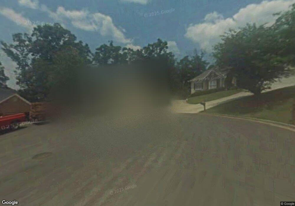
4448 Depot Ridge Ct Unit I Buford, GA 30518
Estimated Value: $521,398 - $606,000
3
Beds
3
Baths
2,555
Sq Ft
$226/Sq Ft
Est. Value
About This Home
This home is located at 4448 Depot Ridge Ct Unit I, Buford, GA 30518 and is currently estimated at $576,850, approximately $225 per square foot. 4448 Depot Ridge Ct Unit I is a home located in Gwinnett County with nearby schools including Buford Elementary School, Buford Senior Academy, and Buford Academy.
Ownership History
Date
Name
Owned For
Owner Type
Purchase Details
Closed on
Jun 17, 2025
Sold by
Graves Kenneth D
Bought by
Graves Kenneth D Tr and Graves Janet H Tr
Current Estimated Value
Purchase Details
Closed on
Dec 2, 1996
Sold by
J Lw Builders
Bought by
Graves Kenneth
Create a Home Valuation Report for This Property
The Home Valuation Report is an in-depth analysis detailing your home's value as well as a comparison with similar homes in the area
Home Values in the Area
Average Home Value in this Area
Purchase History
| Date | Buyer | Sale Price | Title Company |
|---|---|---|---|
| Graves Kenneth D Tr | -- | -- | |
| Graves Kenneth | $159,900 | -- |
Source: Public Records
Mortgage History
| Date | Status | Borrower | Loan Amount |
|---|---|---|---|
| Closed | Graves Kenneth | $0 |
Source: Public Records
Tax History Compared to Growth
Tax History
| Year | Tax Paid | Tax Assessment Tax Assessment Total Assessment is a certain percentage of the fair market value that is determined by local assessors to be the total taxable value of land and additions on the property. | Land | Improvement |
|---|---|---|---|---|
| 2025 | $737 | $187,600 | $44,000 | $143,600 |
| 2024 | $737 | $187,600 | $44,000 | $143,600 |
| 2023 | $737 | $193,560 | $44,000 | $149,560 |
| 2022 | $737 | $152,760 | $28,400 | $124,360 |
| 2021 | $737 | $116,560 | $28,400 | $88,160 |
| 2020 | $737 | $116,560 | $28,400 | $88,160 |
| 2019 | $666 | $107,240 | $22,800 | $84,440 |
| 2018 | $666 | $107,240 | $22,800 | $84,440 |
| 2016 | $661 | $97,800 | $22,800 | $75,000 |
| 2015 | $685 | $81,040 | $14,800 | $66,240 |
| 2014 | $698 | $81,040 | $14,800 | $66,240 |
Source: Public Records
Map
Nearby Homes
- 4385 Signal Ridge Ct
- 4316 Woodland Bank Blvd
- 4245 Woodland Bank Blvd
- 2267 Pink Hawthorn Dr
- 103 Maddox Rd
- 190 Maddox Rd
- 3 Buford Village Walk
- 1966 Sterling Park
- 21 Buford Village Walk
- 4831 Miller Hill Rd
- 2255 Buford Hwy
- 2255 Buford Hwy
- 669 Leather St
- 4238 Hamilton Mill Rd
- 2151 E Maddox Rd
- 2446 Thrasher Rd
- 2398 E Maddox Rd
- 460 Espy St
- 2020 Harvester Ln
- 425 Church St
- 4449 Depot Ridge Ct
- 4438 Depot Ridge Ct Unit 1
- 1820 Brickton Station Unit 1
- 1830 Brickton Station
- 4428 Depot Ridge Ct Unit I
- 1840 Brickton Station
- 1710 Brickton Station Unit 1
- 4439 Depot Ridge Ct
- 1700 Brickton Station
- 1850 Brickton Station Unit 1
- 1810 Brickton Station
- 1720 Brickton Station
- 4408 Depot Ridge Ct
- 4429 Depot Ridge Ct
- 1690 Brickton Station
- 1860 Brickton Station Unit I
- 1835 Brickton Station
- 1730 Brickton Station
- 4419 Depot Ridge Ct
- 1845 Brickton Station