4449 Flying C Rd Shingle Springs, CA 95682
Estimated Value: $619,000 - $944,000
3
Beds
2
Baths
1,733
Sq Ft
$420/Sq Ft
Est. Value
About This Home
This home is located at 4449 Flying C Rd, Shingle Springs, CA 95682 and is currently estimated at $728,059, approximately $420 per square foot. 4449 Flying C Rd is a home located in El Dorado County with nearby schools including Camerado Springs Middle School, Ponderosa High School, and Montessori Manor.
Ownership History
Date
Name
Owned For
Owner Type
Purchase Details
Closed on
Oct 29, 2009
Sold by
Weiss Michael M and Weiss Paula R
Bought by
Weiss Michael M
Current Estimated Value
Purchase Details
Closed on
Apr 9, 1998
Sold by
Weiss Michael M and Rae Payne Paula
Bought by
Weiss Michael M and Weiss Paula R
Home Financials for this Owner
Home Financials are based on the most recent Mortgage that was taken out on this home.
Original Mortgage
$84,000
Interest Rate
7.18%
Create a Home Valuation Report for This Property
The Home Valuation Report is an in-depth analysis detailing your home's value as well as a comparison with similar homes in the area
Home Values in the Area
Average Home Value in this Area
Purchase History
| Date | Buyer | Sale Price | Title Company |
|---|---|---|---|
| Weiss Michael M | -- | None Available | |
| Weiss Michael M | -- | Fidelity National Title Co |
Source: Public Records
Mortgage History
| Date | Status | Borrower | Loan Amount |
|---|---|---|---|
| Closed | Weiss Michael M | $84,000 |
Source: Public Records
Tax History
| Year | Tax Paid | Tax Assessment Tax Assessment Total Assessment is a certain percentage of the fair market value that is determined by local assessors to be the total taxable value of land and additions on the property. | Land | Improvement |
|---|---|---|---|---|
| 2025 | $5,148 | $442,045 | $208,018 | $234,027 |
| 2024 | $5,148 | $433,379 | $203,940 | $229,439 |
| 2023 | $5,057 | $424,883 | $199,942 | $224,941 |
| 2022 | $4,989 | $416,553 | $196,022 | $220,531 |
| 2021 | $4,928 | $408,386 | $192,179 | $216,207 |
| 2020 | $4,870 | $404,200 | $190,209 | $213,991 |
| 2019 | $4,802 | $396,276 | $186,480 | $209,796 |
| 2018 | $4,338 | $388,507 | $182,824 | $205,683 |
| 2017 | $4,267 | $380,890 | $179,240 | $201,650 |
| 2016 | $4,209 | $373,423 | $175,726 | $197,697 |
| 2015 | $4,165 | $367,816 | $173,088 | $194,728 |
| 2014 | $4,165 | $360,613 | $169,699 | $190,914 |
Source: Public Records
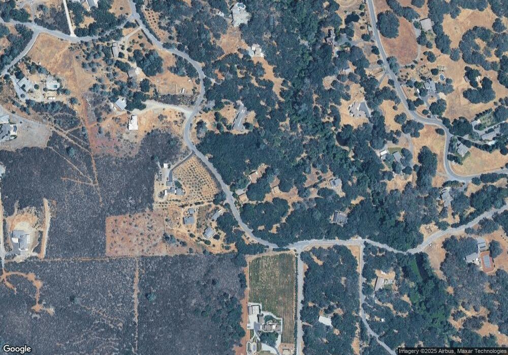
Map
Nearby Homes
- 7967 Stone Ranch Dr
- 7890 Stone Ranch Dr
- 7878 Stone Ranch Dr
- 7850 Stone Ranch Dr
- 4224 Beasley Dr
- 3980 Rustic Rd
- 0 Crazy Horse Rd
- 3937 Rustic Rd
- 2515 Merrychase Dr Unit K
- 2515 Merrychase Dr Unit F
- 4285 Crazy Horse Rd
- 3002 Tri Ln
- 3048 Merrywood Cir
- 3276 Heights Dr Unit A
- 3293 Topaz Ln
- 2780 Holly Hills Ln
- 3088 Emerald Ct Unit 2
- 2560 Solano Rd
- 3788 Hillsborough Rd
- 3287 Country Club Dr
- 4411 Flying C Rd
- 4460 Flying C Rd
- 4440 Flying C Rd
- 4387 Flying C Rd
- 4420 Cameron Rd
- 4410 Flying C Rd
- 4460 Cameron Rd
- 1240 Deer Creek Rd
- 4390 Cameron Rd
- 1225 Deer Creek Rd
- 4369 Flying C Rd
- 4511 Brookside Rd
- 4360 Flying C Rd
- 4490 Cameron Rd
- 4431 Cameron Rd
- 4341 Flying C Rd
- 4391 Cameron Rd
- 4580 Brookside Rd
- 4310 Cameron Rd
- 4580 Flying C Rd
Your Personal Tour Guide
Ask me questions while you tour the home.