4449 Saint Andrews Dr Stockton, CA 95219
Brookside NeighborhoodEstimated Value: $821,000 - $1,145,000
3
Beds
3
Baths
3,431
Sq Ft
$296/Sq Ft
Est. Value
About This Home
This home is located at 4449 Saint Andrews Dr, Stockton, CA 95219 and is currently estimated at $1,015,654, approximately $296 per square foot. 4449 Saint Andrews Dr is a home located in San Joaquin County with nearby schools including Brookside, Sierra Middle School, and Lincoln High School.
Ownership History
Date
Name
Owned For
Owner Type
Purchase Details
Closed on
Mar 1, 2013
Sold by
Wesely Orest and Wesely Irene
Bought by
Wesely Orest and Wesely Irene M
Current Estimated Value
Purchase Details
Closed on
May 6, 1996
Sold by
Freeman Henry D and Freeman Allison
Bought by
Wesely Orest and Wesely Irene
Home Financials for this Owner
Home Financials are based on the most recent Mortgage that was taken out on this home.
Original Mortgage
$374,000
Outstanding Balance
$21,252
Interest Rate
7.97%
Estimated Equity
$994,402
Create a Home Valuation Report for This Property
The Home Valuation Report is an in-depth analysis detailing your home's value as well as a comparison with similar homes in the area
Home Values in the Area
Average Home Value in this Area
Purchase History
| Date | Buyer | Sale Price | Title Company |
|---|---|---|---|
| Wesely Orest | -- | None Available | |
| Wesely Orest | $467,500 | Central Valley Title Company |
Source: Public Records
Mortgage History
| Date | Status | Borrower | Loan Amount |
|---|---|---|---|
| Open | Wesely Orest | $374,000 |
Source: Public Records
Tax History Compared to Growth
Tax History
| Year | Tax Paid | Tax Assessment Tax Assessment Total Assessment is a certain percentage of the fair market value that is determined by local assessors to be the total taxable value of land and additions on the property. | Land | Improvement |
|---|---|---|---|---|
| 2025 | $9,415 | $776,587 | $207,641 | $568,946 |
| 2024 | $9,208 | $761,361 | $203,570 | $557,791 |
| 2023 | $9,125 | $746,433 | $199,579 | $546,854 |
| 2022 | $8,537 | $731,798 | $195,666 | $536,132 |
| 2021 | $8,414 | $717,450 | $191,830 | $525,620 |
| 2020 | $8,432 | $710,095 | $189,864 | $520,231 |
| 2019 | $8,290 | $696,173 | $186,142 | $510,031 |
| 2018 | $8,151 | $682,524 | $182,493 | $500,031 |
| 2017 | $7,990 | $669,142 | $178,915 | $490,227 |
| 2016 | $7,899 | $656,025 | $175,408 | $480,617 |
| 2014 | $7,690 | $633,519 | $169,390 | $464,129 |
Source: Public Records
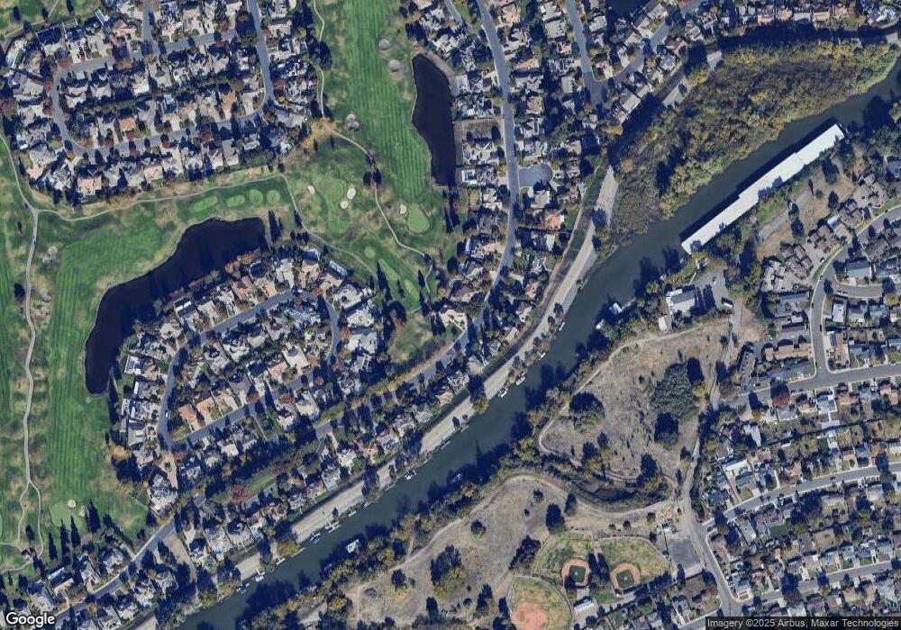
Map
Nearby Homes
- 4583 Pine Valley Cir
- 4646 Saint Andrews Dr
- 3621 de Ovan Ave
- 4240 Pinehurst Cir
- 3865 Gleneagles Dr
- 3225 de Ovan Ave
- 4231 Pinehurst Cir
- 4224 Pinehurst Cir
- 4335 Gleneagles Ct
- 5036 Spanish Bay Cir
- 3100 Christina Ave
- 3708 Michigan Ave
- 2925 de Ovan Ave
- 2868 Christina Ave
- 3127 W Monterey Ave
- 4273 Boulder Creek Cir
- 3037 W Monterey Ave
- 2903 Raintree Ct
- 5143 Poppy Hills Cir
- 3663 Saint Andrews Dr Unit 16
- 4441 Saint Andrews Dr
- 4433 Saint Andrews Dr
- 4450 Saint Andrews Dr
- 4456 Saint Andrews Dr
- 4444 Saint Andrews Dr
- 4504 Saint Andrews Dr
- 4438 Saint Andrews Dr
- 4425 Saint Andrews Dr
- 4512 Saint Andrews Dr
- 4601 Pine Valley Cir
- 4605 Pine Valley Cir
- 4432 Saint Andrews Dr
- 4520 Saint Andrews Dr
- 4609 Pine Valley Cir
- 4595 Pine Valley Cir
- 4426 Saint Andrews Dr
- 4528 Saint Andrews Dr
- 4409 Saint Andrews Dr
- 4613 Pine Valley Cir
- 4589 Pine Valley Cir