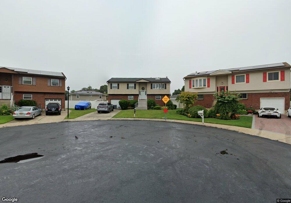
445 Elaine Ct West Hempstead, NY 11552
Estimated Value: $842,000 - $868,025
--
Bed
3
Baths
2,076
Sq Ft
$412/Sq Ft
Est. Value
About This Home
This home is located at 445 Elaine Ct, West Hempstead, NY 11552 and is currently estimated at $855,013, approximately $411 per square foot. 445 Elaine Ct is a home located in Nassau County with nearby schools including Davison Avenue Intermediate School, Maurice W. Downing Primary K-2 School, and Howard T Herber Middle School.
Ownership History
Date
Name
Owned For
Owner Type
Purchase Details
Closed on
Dec 16, 2009
Sold by
Cooper Marilyn K and Cooper Mary Jane
Bought by
Lespinasse Adam R and Lespinasse Marie Judette
Current Estimated Value
Home Financials for this Owner
Home Financials are based on the most recent Mortgage that was taken out on this home.
Original Mortgage
$368,207
Outstanding Balance
$244,443
Interest Rate
5.25%
Mortgage Type
FHA
Estimated Equity
$610,570
Purchase Details
Closed on
May 1, 2003
Sold by
Cooper Mary
Purchase Details
Closed on
Mar 14, 2002
Sold by
Johnson Wayne
Bought by
Cooper Mary Jane
Create a Home Valuation Report for This Property
The Home Valuation Report is an in-depth analysis detailing your home's value as well as a comparison with similar homes in the area
Home Values in the Area
Average Home Value in this Area
Purchase History
| Date | Buyer | Sale Price | Title Company |
|---|---|---|---|
| Lespinasse Adam R | $375,000 | -- | |
| -- | -- | -- | |
| Cooper Mary Jane | $349,000 | -- |
Source: Public Records
Mortgage History
| Date | Status | Borrower | Loan Amount |
|---|---|---|---|
| Open | Lespinasse Adam R | $368,207 |
Source: Public Records
Tax History Compared to Growth
Tax History
| Year | Tax Paid | Tax Assessment Tax Assessment Total Assessment is a certain percentage of the fair market value that is determined by local assessors to be the total taxable value of land and additions on the property. | Land | Improvement |
|---|---|---|---|---|
| 2025 | $13,507 | $485 | $162 | $323 |
| 2024 | $4,695 | $496 | $166 | $330 |
| 2023 | $11,223 | $505 | $169 | $336 |
| 2022 | $11,223 | $505 | $169 | $336 |
| 2021 | $13,368 | $530 | $177 | $353 |
| 2020 | $10,593 | $525 | $315 | $210 |
| 2019 | $9,021 | $563 | $317 | $246 |
| 2018 | $9,119 | $600 | $0 | $0 |
| 2017 | $5,676 | $638 | $302 | $336 |
| 2016 | $9,429 | $675 | $305 | $370 |
| 2015 | $3,925 | $713 | $322 | $391 |
| 2014 | $3,925 | $713 | $322 | $391 |
| 2013 | $3,882 | $749 | $338 | $411 |
Source: Public Records
Map
Nearby Homes
- 461 Pinebrook Ave
- 1070 Mahopac Rd
- 419 Coolidge Ave
- 10 Pinebrook Ave
- 394 Pinebrook Ave
- 362 Langdon Blvd
- 7 Hopatcong Ave
- 402 Clinton Ave
- 1024 Mahopac Rd
- 1025 Ontario Rd
- 486 Champlain Ave
- 529 Clinton Ave
- 501 Lafayette Ave
- 492 Pershing Blvd
- 1259 Woodfield Rd
- 26 Parkside Rd
- 1269 Dekoven St
- 5 Juliette Rd
- 924 Otsego Ct
- 312 Coventry Rd S
- 449 Elaine Ct
- 441 Elaine Ct
- 438 Locust Ct
- 444 Locust Ct
- 465 Pinebrook Ave
- 450 Locust Ct
- 29 Pinebrook Ave
- 453 Pinebrook Ave
- 432 Locust Ct
- 1098 Christopher Ct
- 33 Pinebrook Ave
- 33 Pinebrook Ave Unit Ph
- 447 Pinebrook Ave
- 441 Pinebrook Ave
- 456 Locust Ct
- 469 Pinebrook Ave
- 4 Pearsall Ln
- 426 Locust Ct
- 481 Pinebrook Ave
- 451 Locust Ct