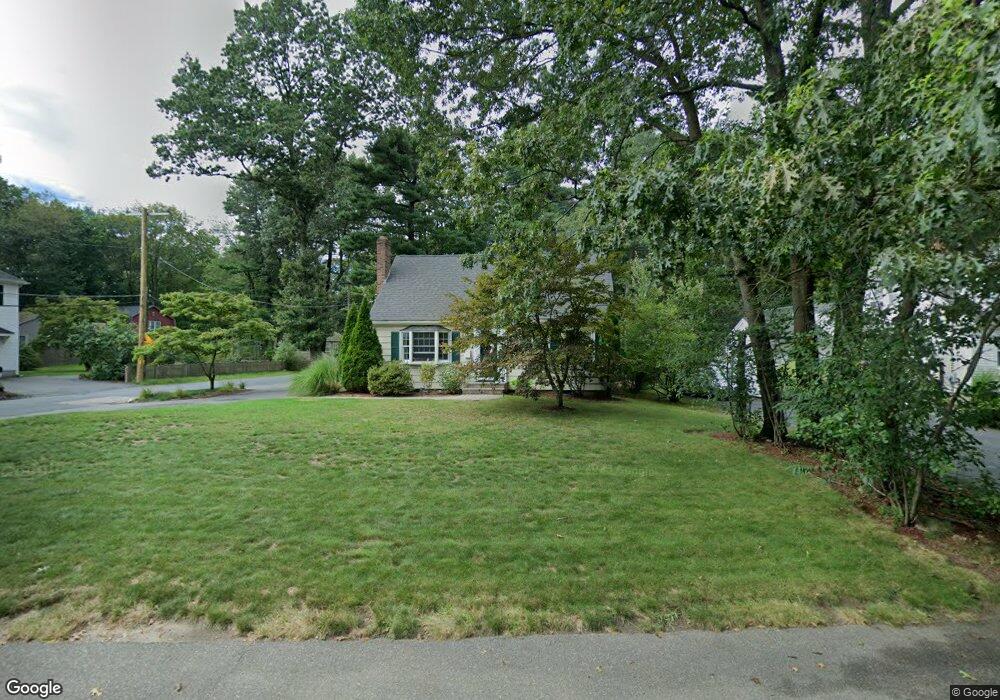
445 Old Post Rd Walpole, MA 02081
Estimated Value: $611,000 - $715,000
4
Beds
2
Baths
1,387
Sq Ft
$469/Sq Ft
Est. Value
About This Home
This home is located at 445 Old Post Rd, Walpole, MA 02081 and is currently estimated at $650,270, approximately $468 per square foot. 445 Old Post Rd is a home located in Norfolk County with nearby schools including Old Post Road School, Walpole Middle School, and Walpole High School.
Ownership History
Date
Name
Owned For
Owner Type
Purchase Details
Closed on
Jul 29, 1998
Sold by
Gordon Dorothy M
Bought by
Panciocco Michael J and Panciocco Michelle M
Current Estimated Value
Home Financials for this Owner
Home Financials are based on the most recent Mortgage that was taken out on this home.
Original Mortgage
$174,900
Interest Rate
6.92%
Mortgage Type
Purchase Money Mortgage
Create a Home Valuation Report for This Property
The Home Valuation Report is an in-depth analysis detailing your home's value as well as a comparison with similar homes in the area
Home Values in the Area
Average Home Value in this Area
Purchase History
| Date | Buyer | Sale Price | Title Company |
|---|---|---|---|
| Panciocco Michael J | $171,000 | -- |
Source: Public Records
Mortgage History
| Date | Status | Borrower | Loan Amount |
|---|---|---|---|
| Open | Panciocco Michael J | $307,500 | |
| Closed | Panciocco Michael J | $35,000 | |
| Closed | Panciocco Michael J | $174,900 |
Source: Public Records
Tax History
| Year | Tax Paid | Tax Assessment Tax Assessment Total Assessment is a certain percentage of the fair market value that is determined by local assessors to be the total taxable value of land and additions on the property. | Land | Improvement |
|---|---|---|---|---|
| 2025 | $6,942 | $541,100 | $319,500 | $221,600 |
| 2024 | $6,759 | $511,300 | $307,200 | $204,100 |
| 2023 | $6,571 | $473,100 | $267,200 | $205,900 |
| 2022 | $6,218 | $430,000 | $247,400 | $182,600 |
| 2021 | $6,025 | $406,000 | $233,400 | $172,600 |
| 2020 | $6,020 | $401,600 | $220,200 | $181,400 |
| 2019 | $5,826 | $385,800 | $211,800 | $174,000 |
| 2018 | $5,380 | $352,300 | $204,000 | $148,300 |
| 2017 | $5,198 | $339,100 | $196,100 | $143,000 |
| 2016 | $5,076 | $326,200 | $188,500 | $137,700 |
| 2015 | $4,900 | $312,100 | $179,500 | $132,600 |
| 2014 | $4,737 | $300,600 | $179,500 | $121,100 |
Source: Public Records
Map
Nearby Homes
- 1 Palace Ct
- 1 Providence Hwy
- 486 Washington St
- 635 Old Post Rd Unit 303
- 635 Old Post Rd Unit 302
- 635 Old Post Rd Unit 2-203
- 363 - 367 Washington St
- 37 Alice Ave
- 587 Common St
- Unit 11 Powder House Ln Unit 11
- 8 Powder House Ln Unit 2
- Unit 12 Powder House Ln Unit 12
- Unit 3 Powder House Ln Unit 3
- 6 Eleanor Rd
- 0 U S Route 1
- 224 School St Unit 9
- 222 School St Unit 9
- 50 Riverside Place
- 881 Main St Unit 9
- 145 South St Unit 5
- 435 Old Post Rd
- 451 Old Post Rd
- 10 Summit Ave
- 455 Old Post Rd
- 29 Summit Ave
- 425 Old Post Rd
- 22 Summit Ave
- 444 Old Post Rd
- 432 Old Post Rd
- 452 Old Post Rd
- 52 Barstow Rd
- 417 Old Post Rd
- 459 Old Post Rd
- 37 Summit Ave
- 420 Old Post Rd
- 458 Old Post Rd
- 40 Barstow Rd
- 7 Saboites Way
- 43 Barstow Rd
- 413 Old Post Rd
Your Personal Tour Guide
Ask me questions while you tour the home.