Estimated Value: $199,000 - $226,000
3
Beds
2
Baths
1,464
Sq Ft
$144/Sq Ft
Est. Value
About This Home
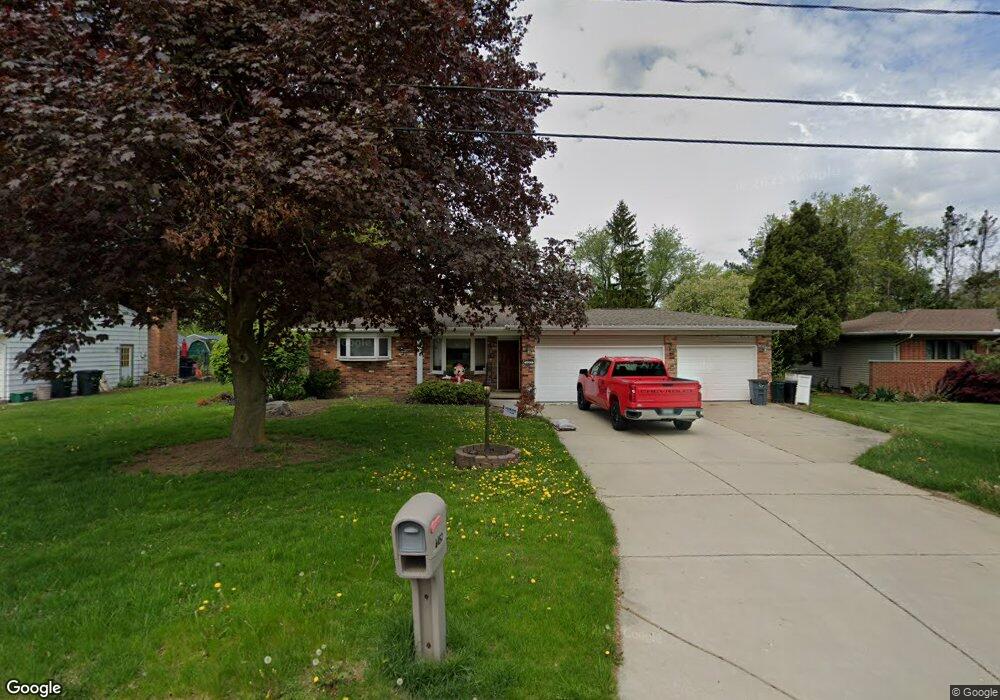
This home is located at 4452 Sunderland Place, Flint, MI 48507 and is currently estimated at $211,195, approximately $144 per square foot. 4452 Sunderland Place is a home located in Genesee County with nearby schools including Carman-Ainsworth High School and Discovery Montessori.
Ownership History
Date
Name
Owned For
Owner Type
Purchase Details
Closed on
Aug 14, 2019
Sold by
Cox Jeffrey W and Cox Cristy L
Bought by
Delgado Ranger Tony
Current Estimated Value
Home Financials for this Owner
Home Financials are based on the most recent Mortgage that was taken out on this home.
Original Mortgage
$154,000
Outstanding Balance
$134,876
Interest Rate
3.7%
Mortgage Type
VA
Estimated Equity
$76,319
Purchase Details
Closed on
Nov 16, 2017
Sold by
Cox Jeffrey Wayne and Cox Cristy Lynne
Bought by
Cox Jeffrey W and Cox Cristy L
Create a Home Valuation Report for This Property
The Home Valuation Report is an in-depth analysis detailing your home's value as well as a comparison with similar homes in the area
Home Values in the Area
Average Home Value in this Area
Purchase History
| Date | Buyer | Sale Price | Title Company |
|---|---|---|---|
| Delgado Ranger Tony | $154,000 | None Available | |
| Cox Jeffrey W | -- | None Available |
Source: Public Records
Mortgage History
| Date | Status | Borrower | Loan Amount |
|---|---|---|---|
| Open | Delgado Ranger Tony | $154,000 |
Source: Public Records
Tax History Compared to Growth
Tax History
| Year | Tax Paid | Tax Assessment Tax Assessment Total Assessment is a certain percentage of the fair market value that is determined by local assessors to be the total taxable value of land and additions on the property. | Land | Improvement |
|---|---|---|---|---|
| 2025 | $3,584 | $97,200 | $0 | $0 |
| 2024 | $2,022 | $91,800 | $0 | $0 |
| 2023 | $1,752 | $82,900 | $0 | $0 |
| 2022 | $1,275 | $75,400 | $0 | $0 |
| 2021 | $2,659 | $64,300 | $0 | $0 |
| 2020 | $1,353 | $61,000 | $0 | $0 |
| 2019 | $962 | $51,200 | $0 | $0 |
| 2018 | $1,827 | $48,300 | $0 | $0 |
| 2017 | $1,756 | $48,300 | $0 | $0 |
| 2016 | $1,828 | $43,100 | $0 | $0 |
| 2015 | $1,615 | $40,800 | $0 | $0 |
| 2014 | $1,028 | $43,500 | $0 | $0 |
| 2012 | -- | $45,300 | $45,300 | $0 |
Source: Public Records
Map
Nearby Homes
- 4480 Cherrytree Ln
- 1203 Pickwick Place
- 1144 Pickwick Place
- 1136 W Rowland St
- 4505 Old Carriage Rd
- 1044 W Rowland St
- 4493 Fenton Rd
- 4469 Thrushfield Ct
- 1072 W Williamson Ave
- 1207 Sorrento Ln
- 1111 W Mclean Ave
- 1051 W Mclean Ave
- 1097 W Buder Ave
- 1130 Leisure Dr Unit 21
- 1045 Leisure Dr Unit 7
- 00 Coolidge Dr
- 000 Coolidge Dr
- 0000 Coolidge Dr
- 1380 Sunset Blvd
- 1142 Linus St
- 4444 Sunderland Place
- 4457 Bristolwood Dr
- 4465 Bristolwood Dr
- 4460 Sunderland Place
- 4436 Sunderland Place
- 4428 Sunderland Place
- 4449 Bristolwood Dr
- 4473 Bristolwood Dr
- 4443 Sunderland Place
- 4451 Sunderland Place
- 4435 Sunderland Place
- 4441 Bristolwood Dr
- 4468 Sunderland Place
- 4459 Sunderland Place
- 4481 Bristolwood Dr
- 4420 Sunderland Place
- 4467 Sunderland Place
- 4427 Sunderland Place
- 4433 Bristolwood Dr
- 4475 Sunderland Place