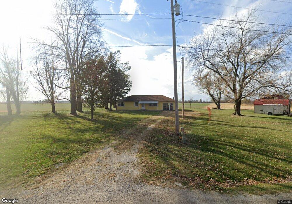
4454 N State Route 2 Oak Harbor, OH 43449
Estimated Value: $69,000 - $198,000
3
Beds
1
Bath
1,296
Sq Ft
$111/Sq Ft
Est. Value
About This Home
This home is located at 4454 N State Route 2, Oak Harbor, OH 43449 and is currently estimated at $143,209, approximately $110 per square foot. 4454 N State Route 2 is a home with nearby schools including Oak Harbor High School.
Ownership History
Date
Name
Owned For
Owner Type
Purchase Details
Closed on
Nov 11, 2024
Sold by
Kigar Rick A and Hoffman Toni R
Bought by
Lytten Alex
Current Estimated Value
Purchase Details
Closed on
Mar 27, 1998
Sold by
Oglesbee Wesley
Bought by
Hoffman Michael R
Home Financials for this Owner
Home Financials are based on the most recent Mortgage that was taken out on this home.
Original Mortgage
$73,625
Interest Rate
7.15%
Mortgage Type
New Conventional
Create a Home Valuation Report for This Property
The Home Valuation Report is an in-depth analysis detailing your home's value as well as a comparison with similar homes in the area
Home Values in the Area
Average Home Value in this Area
Purchase History
| Date | Buyer | Sale Price | Title Company |
|---|---|---|---|
| Lytten Alex | $66,666 | None Listed On Document | |
| Hoffman Michael R | $77,500 | -- |
Source: Public Records
Mortgage History
| Date | Status | Borrower | Loan Amount |
|---|---|---|---|
| Previous Owner | Hoffman Michael R | $73,625 |
Source: Public Records
Tax History Compared to Growth
Tax History
| Year | Tax Paid | Tax Assessment Tax Assessment Total Assessment is a certain percentage of the fair market value that is determined by local assessors to be the total taxable value of land and additions on the property. | Land | Improvement |
|---|---|---|---|---|
| 2024 | $1,046 | $39,099 | $10,486 | $28,613 |
| 2023 | $1,046 | $33,555 | $7,231 | $26,324 |
| 2022 | $964 | $33,555 | $7,231 | $26,324 |
| 2021 | $971 | $33,550 | $7,230 | $26,320 |
| 2020 | $823 | $29,150 | $4,820 | $24,330 |
| 2019 | $1,159 | $29,150 | $4,820 | $24,330 |
| 2018 | $1,058 | $29,150 | $4,820 | $24,330 |
| 2017 | $836 | $26,630 | $4,820 | $21,810 |
| 2016 | $838 | $26,630 | $4,820 | $21,810 |
| 2015 | $838 | $26,630 | $4,820 | $21,810 |
| 2014 | $407 | $25,140 | $4,820 | $20,320 |
| 2013 | $792 | $25,140 | $4,820 | $20,320 |
Source: Public Records
Map
Nearby Homes
- 7911 W Sand Beach Rd
- 8810 W Canada Goose Ct Unit 8810CG
- 8908 W Canada Goose Ct
- 6404 N 3rd St
- 8960 W Canada Goose Ct Unit 8960
- 1057 E Sister Ln Unit 2021
- 8815 Sand Beach Rd
- 9825 W Locust Point Rd
- 10084 Scott St
- 5225 W Lakeshore Dr
- 141 N Wexford Dr E
- 9238 W State Route 163
- 13538 W Velliquette Rd
- 162 Oak Ridge Dr
- 336 N Church St
- 382 E Main St
- 265 S Meachem Rd
- 265 S Meachem Rd Unit 62
- 265 S Meachem Rd Unit 24
- 265 S Meachem Rd Unit 41
- 4470 N State Route 2
- 4445 N State Route 2
- 4510 State Route 2
- 4566 N Thompson Rd
- 8301 W Leutz Rd
- 8301 W Leutz Rd
- 4601 N State Route 2
- 8180 Titus Rd
- 4625 Skipper Rd
- 4625 Skipper Rd
- 4625 N Skipper Rd
- 4635 Skipper Rd
- 4635 Skipper Rd
- 4641 N State Route 2
- 4641 Ohio 2
- 8270 W Thompson Rd
- 8324 W Thompson Rd
- 8350 W Thompson Rd
- 8248 W Leutz Rd
- 8115 Titus Rd