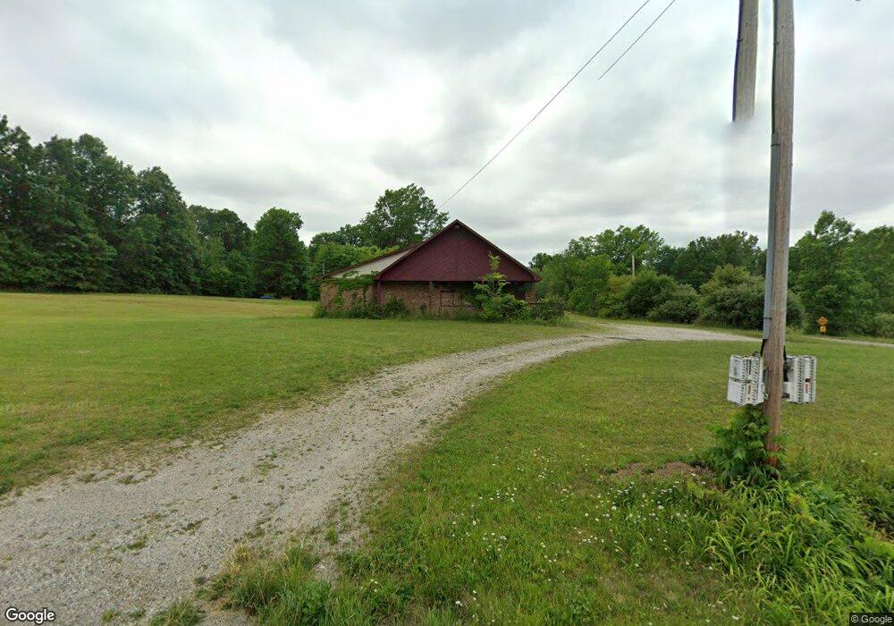
4454 Tallmadge Rd Rootstown, OH 44272
Estimated Value: $200,900
Studio
--
Bath
2,750
Sq Ft
$73/Sq Ft
Est. Value
About This Home
This home is located at 4454 Tallmadge Rd, Rootstown, OH 44272 and is currently priced at $200,900, approximately $73 per square foot. 4454 Tallmadge Rd is a home located in Portage County with nearby schools including Rootstown Middle School - Schnee Building and Rootstown High School.
Ownership History
Date
Name
Owned For
Owner Type
Purchase Details
Closed on
Jul 1, 2024
Sold by
Cox Kenneth M
Bought by
Favilla John Richard and Favilla Cynthia Louise
Current Estimated Value
Purchase Details
Closed on
May 6, 2011
Sold by
Denning John and Denning Lillian
Bought by
Cox Kenneth and Cox Kenneth M
Purchase Details
Closed on
Aug 25, 2006
Sold by
Cox Kenneth
Bought by
Denning John and Denning Lillian
Home Financials for this Owner
Home Financials are based on the most recent Mortgage that was taken out on this home.
Original Mortgage
$186,000
Interest Rate
6.78%
Mortgage Type
Seller Take Back
Purchase Details
Closed on
Jan 1, 1990
Bought by
Cox Kenneth M
Create a Home Valuation Report for This Property
The Home Valuation Report is an in-depth analysis detailing your home's value as well as a comparison with similar homes in the area
Purchase History
| Date | Buyer | Sale Price | Title Company |
|---|---|---|---|
| Favilla John Richard | $115,000 | None Listed On Document | |
| Cox Kenneth | -- | None Available | |
| Denning John | $200,000 | Diamond Title Co | |
| Cox Kenneth M | -- | -- |
Source: Public Records
Mortgage History
| Date | Status | Borrower | Loan Amount |
|---|---|---|---|
| Previous Owner | Denning John | $186,000 |
Source: Public Records
Tax History
| Year | Tax Paid | Tax Assessment Tax Assessment Total Assessment is a certain percentage of the fair market value that is determined by local assessors to be the total taxable value of land and additions on the property. | Land | Improvement |
|---|---|---|---|---|
| 2025 | $793 | $15,300 | $15,300 | -- |
| 2024 | $2,171 | $44,560 | $15,300 | $29,260 |
| 2023 | $2,298 | $35,600 | $14,770 | $20,830 |
| 2022 | $2,128 | $35,600 | $14,770 | $20,830 |
| 2021 | $2,164 | $35,600 | $14,770 | $20,830 |
| 2020 | $2,156 | $35,600 | $14,770 | $20,830 |
| 2019 | $2,166 | $35,600 | $14,770 | $20,830 |
| 2018 | $2,209 | $35,600 | $13,130 | $22,470 |
| 2017 | $2,209 | $35,600 | $13,130 | $22,470 |
| 2016 | $2,216 | $35,600 | $13,130 | $22,470 |
| 2015 | $2,243 | $35,600 | $13,130 | $22,470 |
| 2014 | $2,249 | $35,600 | $13,130 | $22,470 |
| 2013 | $2,255 | $35,600 | $13,130 | $22,470 |
Source: Public Records
Map
Nearby Homes
- 4079 Siefer Dr
- 3689 Cherry Hill
- 3701 State Route 44
- 0 Lynn Rd Unit 5110102
- 4200 Hattrick Rd
- 4415 Farmette Dr
- V/L 2 Lynn Rd
- V/L Lynn Rd
- sub lot Lane Ave
- 4556 Rootstown Rd
- 3637 Old Forge Rd
- 4140 Sandy Lake Rd
- 3021 Hartville Rd
- 4058 Bayberry Knoll Ln
- 5394 Juniper Ct
- 3925 Summit Rd
- 4087 Industry
- 4958 Bassett Rd
- 1065 Shadowlawn Dr
- 524 Ohio Ave
- 4440 Tallmadge Rd
- 3984 Rosalind Dr
- 4504 Tallmadge Rd
- 3974 Rosalind Dr
- 3971 Rosalind Dr
- 3964 Rosalind Dr
- 3965 Rosalind Dr
- 3960 Rosalind Dr
- 4522 Tallmadge Rd
- 4511 Tallmadge Rd
- 4477 Tallmadge Rd
- 4495 Tallmadge Rd
- 3961 Rosalind Dr
- 4527 Tallmadge Rd
- 3950 Rosalind Dr
- 3974 Joshua Point
- 4540 Tallmadge Rd
- 3938 Rosalind Dr
- 3928 Rosalind Dr
- 3979 Joshua Point
Your Personal Tour Guide
Ask me questions while you tour the home.