44560 Francis Paulus Rd Woodsfield, OH 43793
Estimated Value: $73,579 - $163,000
--
Bed
--
Bath
808
Sq Ft
$147/Sq Ft
Est. Value
About This Home
This home is located at 44560 Francis Paulus Rd, Woodsfield, OH 43793 and is currently estimated at $118,645, approximately $146 per square foot. 44560 Francis Paulus Rd is a home with nearby schools including Woodsfield Elementary School, River Elementary School, and Monroe Central High School.
Ownership History
Date
Name
Owned For
Owner Type
Purchase Details
Closed on
Mar 16, 2022
Sold by
Paulus John R and Paulus Teresa K
Bought by
Emery Zackery and Emery Katrina R
Current Estimated Value
Purchase Details
Closed on
Dec 16, 2019
Sold by
Paulus John R and Paulus Edwin M
Bought by
Paulus John R and Paulus Teresa K
Purchase Details
Closed on
Jul 2, 1996
Bought by
Paulus John R Edwin M and Paulus Catherine
Purchase Details
Closed on
Sep 30, 1992
Bought by
Paulus John R Edwin M and Paulus Catherine
Create a Home Valuation Report for This Property
The Home Valuation Report is an in-depth analysis detailing your home's value as well as a comparison with similar homes in the area
Home Values in the Area
Average Home Value in this Area
Purchase History
| Date | Buyer | Sale Price | Title Company |
|---|---|---|---|
| Emery Zackery | -- | None Listed On Document | |
| Emery Zackery | -- | None Listed On Document | |
| Paulus John R | -- | None Available | |
| Paulus John R Edwin M | $18,000 | -- | |
| Paulus John R Edwin M | -- | -- |
Source: Public Records
Tax History Compared to Growth
Tax History
| Year | Tax Paid | Tax Assessment Tax Assessment Total Assessment is a certain percentage of the fair market value that is determined by local assessors to be the total taxable value of land and additions on the property. | Land | Improvement |
|---|---|---|---|---|
| 2024 | $610 | $19,010 | $5,710 | $13,300 |
| 2023 | $610 | $19,010 | $5,710 | $13,300 |
| 2022 | $609 | $19,010 | $5,710 | $13,300 |
| 2021 | $406 | $12,470 | $2,470 | $10,000 |
| 2020 | $406 | $12,470 | $2,470 | $10,000 |
| 2019 | $398 | $12,470 | $2,470 | $10,000 |
| 2018 | $385 | $11,590 | $2,060 | $9,530 |
| 2017 | $387 | $11,590 | $2,060 | $9,530 |
| 2016 | $392 | $11,590 | $2,060 | $9,530 |
| 2015 | $232 | $6,550 | $1,590 | $4,960 |
| 2014 | $232 | $6,550 | $1,590 | $4,960 |
| 2013 | $244 | $6,390 | $1,540 | $4,850 |
Source: Public Records
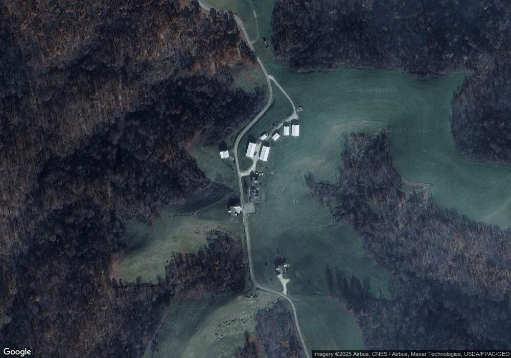
Map
Nearby Homes
- 44883 Bondi Ridge Rd
- 0 Lickskillet Rd
- 147 Andover Rd
- 123 Andover Rd
- 314 Devon Rd
- 315 Eastern Ave
- 407 High St
- 129 Maple Ave
- 303 High St
- 306 Monroe St
- 210 E Church St
- 108.5 S Paul Aly
- 108 S Paul St
- 333 S Main St
- 108 Oaklawn Ave
- 208 Center St
- 212 Oaklawn Ave
- 218 Oaklawn Ave
- 220 Oaklawn Ave
- 0 Township Rd 460 Unit 23727141
- 44576 Francis Paulus Rd
- 44571 Francis Paulus Rd
- 44522 Francis Paulus Rd
- 42233 Paulus Ridge Rd
- 42287 Paulus Ridge Rd
- 42124 Paulus Ridge Rd
- 41905 Paulus Ridge Rd
- 42484 Paulus Ridge Rd
- 43973 Francis Paulus Rd
- 42361 State Route 78
- 43160 Kelly Rd
- 42233 State Route 78
- 42424 Ohio 78
- 42286 State Route 78
- 42184 State Route 78
- 45429 Bondi Ridge Rd
- 42160 State Route 78
- 41234 Paulus Ridge Rd
- 42501 Township Road 987
- 42600 Township Road 987