44569 Neuhart Rd Woodsfield, OH 43793
Estimated Value: $112,556 - $231,000
3
Beds
2
Baths
1,344
Sq Ft
$128/Sq Ft
Est. Value
About This Home
This home is located at 44569 Neuhart Rd, Woodsfield, OH 43793 and is currently estimated at $171,778, approximately $127 per square foot. 44569 Neuhart Rd is a home located in Monroe County with nearby schools including Woodsfield Elementary School, River Elementary School, and Monroe Central High School.
Ownership History
Date
Name
Owned For
Owner Type
Purchase Details
Closed on
Jan 30, 2023
Sold by
Norris Guy E and Norris Cheryl S
Bought by
Thompson Maria D and Thompson Kayla J
Current Estimated Value
Home Financials for this Owner
Home Financials are based on the most recent Mortgage that was taken out on this home.
Original Mortgage
$89,400
Outstanding Balance
$86,492
Interest Rate
6.13%
Mortgage Type
New Conventional
Estimated Equity
$85,286
Purchase Details
Closed on
Aug 18, 2021
Sold by
Norris Guy E and Norris Cheryl S
Bought by
Norris Guy E and Norris Cheryl S
Purchase Details
Closed on
Jan 8, 2008
Sold by
Secretary Of Housing And Urban Developme
Bought by
Norris Guy E
Purchase Details
Closed on
Aug 29, 1995
Bought by
Norris Guy E and Norris Cheryl S
Create a Home Valuation Report for This Property
The Home Valuation Report is an in-depth analysis detailing your home's value as well as a comparison with similar homes in the area
Home Values in the Area
Average Home Value in this Area
Purchase History
| Date | Buyer | Sale Price | Title Company |
|---|---|---|---|
| Thompson Maria D | $89,400 | -- | |
| Norris Guy E | -- | None Available | |
| Norris Guy E | $16,666 | None Listed On Document | |
| Norris Guy E | $35,000 | -- | |
| Norris Guy E | -- | -- |
Source: Public Records
Mortgage History
| Date | Status | Borrower | Loan Amount |
|---|---|---|---|
| Open | Thompson Maria D | $89,400 |
Source: Public Records
Tax History Compared to Growth
Tax History
| Year | Tax Paid | Tax Assessment Tax Assessment Total Assessment is a certain percentage of the fair market value that is determined by local assessors to be the total taxable value of land and additions on the property. | Land | Improvement |
|---|---|---|---|---|
| 2024 | $1,658 | $51,710 | $8,680 | $43,030 |
| 2023 | $1,661 | $51,710 | $8,680 | $43,030 |
| 2022 | $1,422 | $44,360 | $8,680 | $35,680 |
| 2021 | $1,474 | $45,300 | $9,120 | $36,180 |
| 2020 | $1,309 | $40,210 | $4,030 | $36,180 |
| 2019 | $1,283 | $40,210 | $4,030 | $36,180 |
| 2018 | $1,257 | $37,820 | $3,360 | $34,460 |
| 2017 | $1,262 | $37,820 | $3,360 | $34,460 |
| 2016 | $1,256 | $37,140 | $3,360 | $33,780 |
| 2015 | $1,082 | $30,570 | $2,770 | $27,800 |
| 2014 | $1,082 | $30,570 | $2,770 | $27,800 |
Source: Public Records
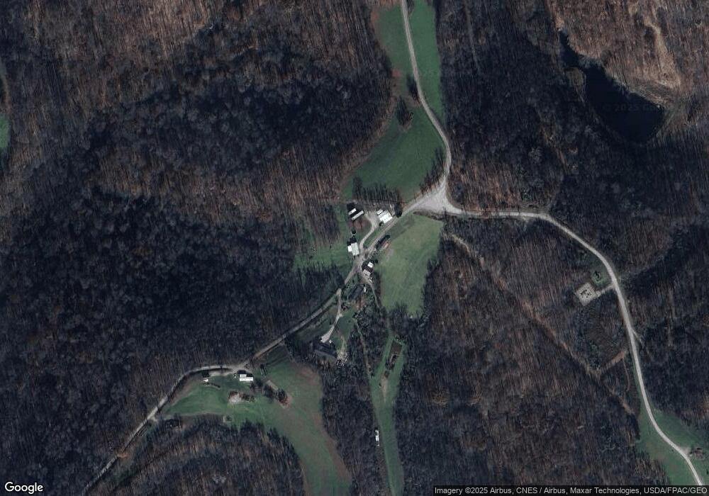
Map
Nearby Homes
- 147 Andover Rd
- 123 Andover Rd
- 315 Eastern Ave
- 407 High St
- 306 Monroe St
- 314 Devon Rd
- 303 High St
- 210 E Church St
- 0 Lickskillet Rd
- 108.5 S Paul Aly
- 333 S Main St
- 108 S Paul St
- 129 Maple Ave
- 108 Oaklawn Ave
- 212 Oaklawn Ave
- 208 Center St
- 218 Oaklawn Ave
- 220 Oaklawn Ave
- 44883 Bondi Ridge Rd
- 44952 Moose Ridge Rd
- 44559 Neuhart Rd
- 44552 Neuhart Rd
- 44476 Neuhart Rd
- 44841 Sugartree Ridge Rd
- 44770 Sugartree Ridge Rd
- 44873 Sugartree Ridge Rd
- 44682 Sugartree Ridge Rd
- 45005 Sugartree Rd
- 41202 Paulus Ridge Rd
- 44561 Sugartree Ridge Rd
- 45125 Sugartree Rd
- 40433 Cranes Nest Rd
- 45119 Sugartree Rd
- 45105 Sugartree Rd
- 45153 Sugartree Rd
- 45153 Sugartree Rd
- 40331 Cranes Nest Rd
- 40400 Haren Rd
- 45205 Sugartree Rd
- 45205 Sugartree Rd