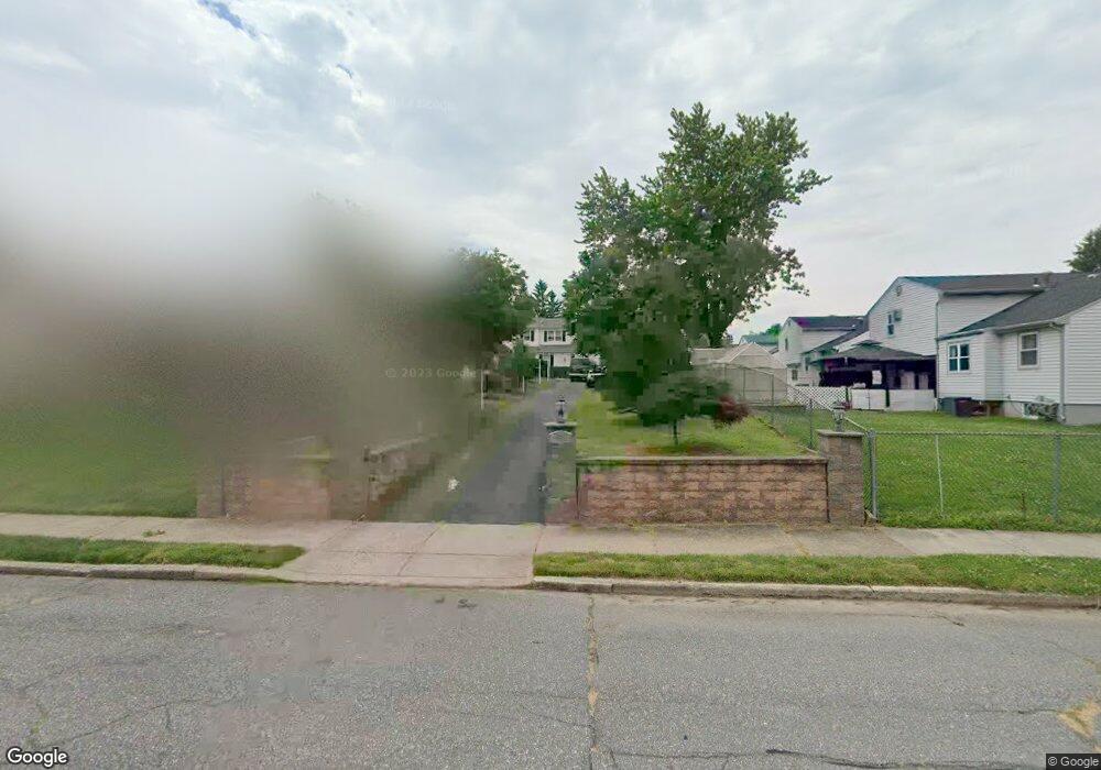
446 Kismet Rd Philadelphia, PA 19115
Bustleton NeighborhoodEstimated Value: $518,227 - $641,000
--
Bed
--
Bath
2,220
Sq Ft
$258/Sq Ft
Est. Value
About This Home
This home is located at 446 Kismet Rd, Philadelphia, PA 19115 and is currently estimated at $573,807, approximately $258 per square foot. 446 Kismet Rd is a home located in Philadelphia County with nearby schools including Greenberg Joseph School, George Washington High School, and St. Albert the Great School.
Ownership History
Date
Name
Owned For
Owner Type
Purchase Details
Closed on
Mar 28, 2001
Sold by
Mathews Thomas
Bought by
Cheriakalathil George M and Cheriakalathil Lisamma G
Current Estimated Value
Home Financials for this Owner
Home Financials are based on the most recent Mortgage that was taken out on this home.
Original Mortgage
$100,000
Interest Rate
6.96%
Purchase Details
Closed on
Aug 22, 1996
Sold by
Mityas Shah Jafer A and Mityas Shah
Bought by
Mathews Thomas
Create a Home Valuation Report for This Property
The Home Valuation Report is an in-depth analysis detailing your home's value as well as a comparison with similar homes in the area
Home Values in the Area
Average Home Value in this Area
Purchase History
| Date | Buyer | Sale Price | Title Company |
|---|---|---|---|
| Cheriakalathil George M | $210,000 | -- | |
| Mathews Thomas | $172,000 | Penn Title Insurance Co |
Source: Public Records
Mortgage History
| Date | Status | Borrower | Loan Amount |
|---|---|---|---|
| Closed | Cheriakalathil George M | $100,000 |
Source: Public Records
Tax History Compared to Growth
Tax History
| Year | Tax Paid | Tax Assessment Tax Assessment Total Assessment is a certain percentage of the fair market value that is determined by local assessors to be the total taxable value of land and additions on the property. | Land | Improvement |
|---|---|---|---|---|
| 2025 | $5,780 | $532,100 | $106,420 | $425,680 |
| 2024 | $5,780 | $532,100 | $106,420 | $425,680 |
| 2023 | $5,780 | $412,900 | $82,500 | $330,400 |
| 2022 | $4,194 | $367,900 | $82,500 | $285,400 |
| 2021 | $4,824 | $0 | $0 | $0 |
| 2020 | $4,824 | $0 | $0 | $0 |
| 2019 | $4,619 | $0 | $0 | $0 |
| 2018 | $4,612 | $0 | $0 | $0 |
| 2017 | $4,612 | $0 | $0 | $0 |
| 2016 | $4,192 | $0 | $0 | $0 |
| 2015 | $4,013 | $0 | $0 | $0 |
| 2014 | -- | $329,500 | $152,134 | $177,366 |
| 2012 | -- | $43,040 | $9,192 | $33,848 |
Source: Public Records
Map
Nearby Homes
- 0 Welsh Rd Unit 310 PAPH2537678
- 114 Almatt Place
- 9705 Portis Rd
- 9902 Player Dr
- 9810 Bridle Rd
- 9814 Bridle Rd
- 1861 Lippincott Rd
- 9812 Ferndale St
- 9231 Grace Ln
- 9933 Medway Rd
- 9825 Verree Rd
- 116 Delia Ln
- 9945 Jeanes St
- 9762 Redd Rambler Terrace
- 637 Charette Rd
- 727 Sherrie Rd
- 123 Pocasset Rd
- 9959 Ferndale St
- 9962 Woodfern Rd
- 8905 Springview Rd