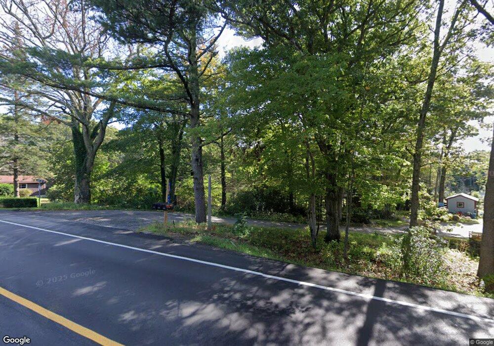
446 Wiscasset Rd Boothbay, ME 04537
Estimated Value: $433,699 - $605,000
3
Beds
2
Baths
2,320
Sq Ft
$222/Sq Ft
Est. Value
About This Home
This home is located at 446 Wiscasset Rd, Boothbay, ME 04537 and is currently estimated at $514,925, approximately $221 per square foot. 446 Wiscasset Rd is a home located in Lincoln County with nearby schools including Boothbay Region Elementary School, Boothbay Region High School, and The Deck House School.
Ownership History
Date
Name
Owned For
Owner Type
Purchase Details
Closed on
Mar 29, 2024
Sold by
Carroll Sally A
Bought by
Andrews Sean R and Matthews Melissa J
Current Estimated Value
Purchase Details
Closed on
Jun 6, 2018
Sold by
Carroll Sally A
Bought by
Spofford Richard R
Purchase Details
Closed on
Jul 10, 2007
Sold by
Carroll Daniel B
Bought by
Carroll Sally A
Create a Home Valuation Report for This Property
The Home Valuation Report is an in-depth analysis detailing your home's value as well as a comparison with similar homes in the area
Home Values in the Area
Average Home Value in this Area
Purchase History
| Date | Buyer | Sale Price | Title Company |
|---|---|---|---|
| Andrews Sean R | $60,000 | None Available | |
| Andrews Sean R | $60,000 | None Available | |
| Spofford Richard R | -- | -- | |
| Spofford Richard R | -- | -- | |
| Carroll Sally A | -- | -- | |
| Spofford Richard R | -- | -- | |
| Carroll Sally A | -- | -- |
Source: Public Records
Tax History Compared to Growth
Tax History
| Year | Tax Paid | Tax Assessment Tax Assessment Total Assessment is a certain percentage of the fair market value that is determined by local assessors to be the total taxable value of land and additions on the property. | Land | Improvement |
|---|---|---|---|---|
| 2024 | $2,380 | $209,658 | $53,268 | $156,390 |
| 2023 | $2,388 | $237,658 | $81,268 | $156,390 |
| 2022 | $2,210 | $237,658 | $81,268 | $156,390 |
| 2021 | $2,270 | $237,658 | $81,268 | $156,390 |
| 2020 | $2,282 | $237,658 | $81,268 | $156,390 |
| 2019 | $2,246 | $237,658 | $81,268 | $156,390 |
| 2018 | $2,210 | $237,658 | $81,268 | $156,390 |
| 2017 | $2,099 | $228,100 | $65,200 | $162,900 |
| 2016 | $2,007 | $228,100 | $65,200 | $162,900 |
| 2015 | $1,996 | $228,100 | $65,200 | $162,900 |
| 2014 | $1,939 | $228,100 | $65,200 | $162,900 |
Source: Public Records
Map
Nearby Homes
- 494 Wiscasset Rd
- 50 Hardwick Rd
- 96 Forest Haven Rd
- 3-10 Industrial Park Rd
- 5 Hillside Place Unit 2
- 670 Wiscasset Rd
- 693 Wiscasset Rd
- 105-26 Back Eighty Rd
- 62 Murphy Rd
- 32 Murray Hill Rd
- 5 Moose Ridge Crossing
- 29 Wiscasset Rd
- 86 Firth Dr
- 712 Back River Rd
- 576 Back River Rd
- 23 Sunny Acres Ln
- 24 Marble Ledge Dr
- 25 Pineview Ridge Rd
- 9 Tomcat Trail
- 29 Good Day Dr
- 460 Wiscasset Rd
- 448 Wiscasset Rd
- 458 Wiscasset Rd
- 16 Jason Cir
- 447 Wiscasset Rd
- 463 Wiscasset Rd
- 461 Wiscasset Rd
- 472 Wiscasset Rd
- 441 Wiscasset Rd
- 24 Jason Cir
- 480 Wiscasset Rd
- 30 Jason Cir
- 4 Northern Dr
- 423 Wiscasset Rd
- 413 Wiscasset Rd
- 490 Wiscasset Rd
- 28 Hardwick Rd
- 477 Wiscasset Rd
- 20 Hardwick Rd
- 34 Hardwick Rd
