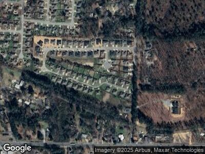
4460 S Aaronfield Cir Benton, AR 72015
Estimated Value: $231,128 - $268,000
--
Bed
2
Baths
1,736
Sq Ft
$144/Sq Ft
Est. Value
About This Home
This home is located at 4460 S Aaronfield Cir, Benton, AR 72015 and is currently estimated at $250,782, approximately $144 per square foot. 4460 S Aaronfield Cir is a home located in Saline County with nearby schools including Angie Grant Elementary School, Benton Middle School, and Benton Junior High School.
Ownership History
Date
Name
Owned For
Owner Type
Purchase Details
Closed on
Aug 27, 2008
Sold by
Snellings Home Builders Inc
Bought by
Holstead Douglas Lee and Holstead Gina L
Current Estimated Value
Home Financials for this Owner
Home Financials are based on the most recent Mortgage that was taken out on this home.
Original Mortgage
$110,000
Interest Rate
6.57%
Mortgage Type
Commercial
Create a Home Valuation Report for This Property
The Home Valuation Report is an in-depth analysis detailing your home's value as well as a comparison with similar homes in the area
Home Values in the Area
Average Home Value in this Area
Purchase History
| Date | Buyer | Sale Price | Title Company |
|---|---|---|---|
| Holstead Douglas Lee | -- | None Available |
Source: Public Records
Mortgage History
| Date | Status | Borrower | Loan Amount |
|---|---|---|---|
| Closed | Jabo Properties Llc | $110,000 | |
| Closed | Holstead Douglas Lee | $230,000 | |
| Previous Owner | Jabo Properties Llc | $125,000 |
Source: Public Records
Tax History Compared to Growth
Tax History
| Year | Tax Paid | Tax Assessment Tax Assessment Total Assessment is a certain percentage of the fair market value that is determined by local assessors to be the total taxable value of land and additions on the property. | Land | Improvement |
|---|---|---|---|---|
| 2024 | $2,169 | $38,422 | $6,760 | $31,662 |
| 2023 | $1,957 | $38,422 | $6,760 | $31,662 |
| 2022 | $1,794 | $38,422 | $6,760 | $31,662 |
| 2021 | $1,631 | $29,440 | $5,200 | $24,240 |
| 2020 | $1,631 | $29,440 | $5,200 | $24,240 |
| 2019 | $1,631 | $29,440 | $5,200 | $24,240 |
| 2018 | $1,628 | $29,440 | $5,200 | $24,240 |
| 2017 | $1,628 | $29,440 | $5,200 | $24,240 |
| 2016 | $1,548 | $27,300 | $4,800 | $22,500 |
| 2015 | $1,521 | $27,300 | $4,800 | $22,500 |
| 2014 | $1,532 | $27,300 | $4,800 | $22,500 |
Source: Public Records
Map
Nearby Homes
- 4505 Western Woods Dr
- 4532 Western Woods Dr
- 00 Edison
- 600 Hiram Dr
- 664 Hiram Dr
- 412 S Shady Ln
- 301 Merril Dr
- 511 S Shady Ln
- 205 Hidden Meadows Dr
- 3110 Edison Ave
- 3106 Edison Ave
- 3022 Edison Ave
- 3208 Silica Heights
- 612 Surrey Ln
- 1032 Virginia Ave
- TBD Edison Ave
- 2608 Stoneleigh Dr
- 1007 Spring Creek Cove
- 2608 Timbermist Cir
- 2404 Shaker Ridge
- 4460 S Aaronfield Cir
- 4462 S Aaronfield Cir
- 4458 S Aaronfield Cir
- 309 Prairie Cove
- 312 Prairie Cove
- 0 Aaronfield Cir Unit 15020433
- 0 Aaronfield Cir Unit 15029065
- 0 Aaronfield Cir Unit 21034061
- 4456 S Aaronfield Cir
- 4461 S Aaronfield Cir
- 4463 S Aaronfield Cir
- 4464 S Aaronfield Cir
- 4454 S Aaronfield Cir
- 308 Prairie Cove
- 305 Prairie Cove
- 4465 S Aaronfield Cir
- 4459 S Aaronfield Cir
- 4466 S Aaronfield Cir
- 304 Prairie Cove
- 4457 S Aaronfield Cir
