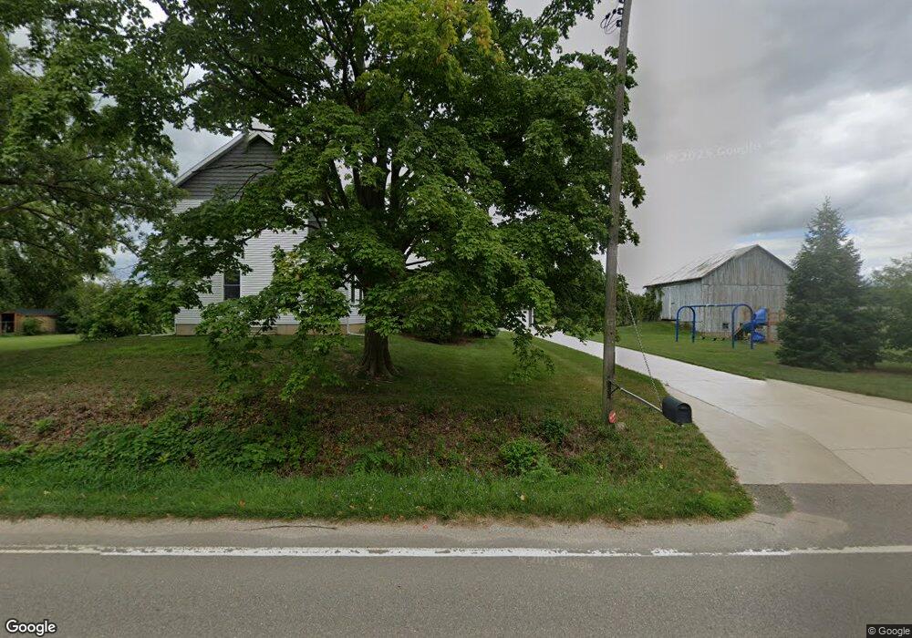
4467 12th St Wayland, MI 49348
Estimated Value: $378,000 - $493,000
5
Beds
1
Bath
1,784
Sq Ft
$247/Sq Ft
Est. Value
About This Home
This home is located at 4467 12th St, Wayland, MI 49348 and is currently estimated at $440,438, approximately $246 per square foot. 4467 12th St is a home located in Allegan County with nearby schools including Wayland High School, Byron Center Charter School, and Moline Christian School.
Ownership History
Date
Name
Owned For
Owner Type
Purchase Details
Closed on
May 24, 2010
Sold by
Schmidt Nagel Johanna C
Bought by
Bird Shannon
Current Estimated Value
Purchase Details
Closed on
Mar 30, 2010
Sold by
Nagel Roger A and Schmidt Nagel Johanna C
Bought by
Nagel Roger A and Schmidt Nagel Johanna C
Purchase Details
Closed on
Nov 10, 1997
Sold by
Nagel Gerald
Bought by
Nagel Roger Allen
Create a Home Valuation Report for This Property
The Home Valuation Report is an in-depth analysis detailing your home's value as well as a comparison with similar homes in the area
Home Values in the Area
Average Home Value in this Area
Purchase History
| Date | Buyer | Sale Price | Title Company |
|---|---|---|---|
| Bird Shannon | $85,157 | Chicago Title | |
| Nagel Roger A | -- | None Available | |
| Nagel Roger Allen | $251,000 | -- |
Source: Public Records
Tax History Compared to Growth
Tax History
| Year | Tax Paid | Tax Assessment Tax Assessment Total Assessment is a certain percentage of the fair market value that is determined by local assessors to be the total taxable value of land and additions on the property. | Land | Improvement |
|---|---|---|---|---|
| 2025 | $4,059 | $220,300 | $45,000 | $175,300 |
| 2024 | $3,742 | $214,100 | $45,000 | $169,100 |
| 2023 | $3,742 | $196,600 | $45,000 | $151,600 |
| 2022 | $3,742 | $171,300 | $25,000 | $146,300 |
| 2021 | $3,766 | $155,900 | $25,000 | $130,900 |
| 2020 | $3,050 | $121,600 | $25,000 | $96,600 |
| 2019 | $2,976 | $108,400 | $25,000 | $83,400 |
| 2018 | $2,907 | $99,500 | $25,000 | $74,500 |
| 2017 | $0 | $96,600 | $25,000 | $71,600 |
| 2016 | $0 | $76,900 | $25,000 | $51,900 |
| 2015 | -- | $76,900 | $25,000 | $51,900 |
| 2014 | -- | $62,400 | $25,000 | $37,400 |
| 2013 | $1,068 | $53,200 | $25,000 | $28,200 |
Source: Public Records
Map
Nearby Homes
- 4351 Hickory View Ct
- 4335 Tavistock Dr
- 4316 Sussex Place
- 4273 Highpoint Dr Unit 112
- Unit 111 Highpoint Dr
- Lot 11 Walnut Dale Dr
- 4274 Butternut Dr
- Lot 142 Butternut Dr
- Lot 141 Butternut Dr
- 4249 Butternut Dr
- 4245 Butternut Dr
- 4240 Butternut Dr
- Vienna Plan at Harvest Meadows
- Charlotte Plan at Harvest Meadows
- Sierra Plan at Harvest Meadows
- Karolynn Plan at Harvest Meadows
- Reno Plan at Harvest Meadows
- Bayberry Plan at Harvest Meadows
- Freedom Plan at Harvest Meadows
- London Plan at Harvest Meadows
- 4462 Division Ave S
- 4445 12th St
- 4462 Division St
- 4447 12th St
- 4466 Division St
- 873 Mallard Dr
- 0 Division Ave S Unit APP 4
- 4439 12th St
- 4442 12th St
- 4450 12th St
- 4446 12th St
- 4436 12th St
- 4435 12th St
- 4467 Division St
- 4433 12th St
- 4444 Division St S
- 4464 12th St
- 4434 12th St
- 4431 12th St
- 4431 12th St