4467 S Stone Rd South Range, WI 54874
Estimated Value: $202,000 - $301,000
--
Bed
--
Bath
--
Sq Ft
6.62
Acres
About This Home
This home is located at 4467 S Stone Rd, South Range, WI 54874 and is currently estimated at $251,562. 4467 S Stone Rd is a home located in Douglas County with nearby schools including Superior High School.
Ownership History
Date
Name
Owned For
Owner Type
Purchase Details
Closed on
Aug 23, 2021
Sold by
Burkhart Amanda and Davis Amanda M
Bought by
Burkhart Jeffery and Burkhart Amanda
Current Estimated Value
Purchase Details
Closed on
Oct 14, 2011
Sold by
Arneson Marvin H and Arneson Emma M
Bought by
Davis Amanda M
Purchase Details
Closed on
Oct 11, 2011
Sold by
Scharinger Mary L and Scharinger Arneson
Bought by
Arneson Marvin H and Arneson Emma M
Purchase Details
Closed on
Mar 8, 2005
Sold by
Arneson Marvin H and Arneson Emma M
Bought by
Arneson Matthew J
Create a Home Valuation Report for This Property
The Home Valuation Report is an in-depth analysis detailing your home's value as well as a comparison with similar homes in the area
Home Values in the Area
Average Home Value in this Area
Purchase History
| Date | Buyer | Sale Price | Title Company |
|---|---|---|---|
| Burkhart Jeffery | $87,000 | -- | |
| Davis Amanda M | $89,700 | -- | |
| Arneson Marvin H | $89,700 | -- | |
| Arneson Marvin H | $89,700 | -- | |
| Arneson Marvin H | $89,700 | -- | |
| Arneson Marvin H | $89,700 | -- | |
| Arneson Matthew J | $95,800 | -- |
Source: Public Records
Tax History Compared to Growth
Tax History
| Year | Tax Paid | Tax Assessment Tax Assessment Total Assessment is a certain percentage of the fair market value that is determined by local assessors to be the total taxable value of land and additions on the property. | Land | Improvement |
|---|---|---|---|---|
| 2024 | $1,462 | $166,100 | $26,200 | $139,900 |
| 2023 | $1,528 | $166,100 | $26,200 | $139,900 |
| 2022 | $1,174 | $87,100 | $14,600 | $72,500 |
| 2021 | $1,333 | $87,100 | $14,600 | $72,500 |
| 2020 | $1,437 | $87,100 | $14,600 | $72,500 |
| 2019 | $1,425 | $87,100 | $14,600 | $72,500 |
| 2018 | $1,370 | $87,100 | $14,600 | $72,500 |
| 2017 | $1,443 | $87,100 | $14,600 | $72,500 |
| 2016 | $1,475 | $87,100 | $14,600 | $72,500 |
| 2015 | $120 | $72,500 | $14,600 | $72,500 |
| 2014 | $1,388 | $87,100 | $14,600 | $72,500 |
| 2013 | $1,490 | $87,100 | $14,600 | $72,500 |
Source: Public Records
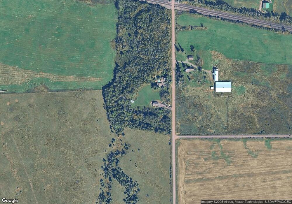
Map
Nearby Homes
- 6559 E County Road C
- 6866 E County Road Uu
- 6XXX Mikrot Rd
- 5069 E County Road C
- 7195 E State Road 13
- 40 acre Lot 1 County Rd L
- 40 acre Lot # 2 County Rd L
- 4285 Valley Brook Rd
- 3968 S County Road U Unit (10) acres
- 3994 S County Road U
- 4036 S County Road A
- 7654 E County Road V
- 7544E Brannan Rd
- 5319 E 3rd St
- 4935 E Itasca St Unit 35
- 4936 E Itasca St Unit 36
- 4931 E Itasca St Unit 31
- 4929 E Itasca St Unit 29
- 4153 E Lindberg Rd
- 9 Collingwood Dr Unit 100
- 4450 S Stone Rd
- 4452 S Stone Rd
- 6423 E County Road C
- 6397 E County Road C
- 6464 E County Road C
- 6443 E County Road C
- 6417 E County Road C
- 6481 E County Road C
- 6309 E County Road C
- 6309 E County Road C
- 6499 E County Road C
- 6279 E County Road C
- 6519 E County Road C
- 4584 S Stone Rd
- 6554 E County Road C
- 6257 E County Road C
- 4652 S Stone Rd
- 6231 E County Road C
- 6573 E County Road C
- 6260 E Jones St