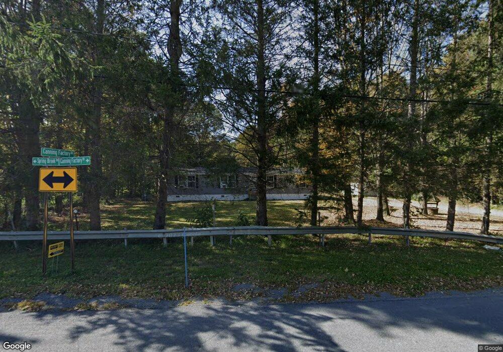
447 Canning Factory Rd Pulaski, NY 13142
Estimated Value: $214,260 - $336,000
3
Beds
2
Baths
1,680
Sq Ft
$156/Sq Ft
Est. Value
About This Home
This home is located at 447 Canning Factory Rd, Pulaski, NY 13142 and is currently estimated at $262,315, approximately $156 per square foot. 447 Canning Factory Rd is a home with nearby schools including Pulaski Elementary School, Pulaski Middle School, and Pulaski High School.
Ownership History
Date
Name
Owned For
Owner Type
Purchase Details
Closed on
Apr 30, 2021
Sold by
Gibbons Theresa J
Bought by
Gibbons Thomas M
Current Estimated Value
Home Financials for this Owner
Home Financials are based on the most recent Mortgage that was taken out on this home.
Original Mortgage
$130,500
Outstanding Balance
$118,266
Interest Rate
3.1%
Mortgage Type
New Conventional
Estimated Equity
$144,049
Purchase Details
Closed on
May 11, 2012
Sold by
Scott Lynn
Bought by
Dall John
Create a Home Valuation Report for This Property
The Home Valuation Report is an in-depth analysis detailing your home's value as well as a comparison with similar homes in the area
Home Values in the Area
Average Home Value in this Area
Purchase History
| Date | Buyer | Sale Price | Title Company |
|---|---|---|---|
| Gibbons Thomas M | $12,500 | Vanguard Research & Ttl Svcs | |
| Dall John | $55,000 | -- |
Source: Public Records
Mortgage History
| Date | Status | Borrower | Loan Amount |
|---|---|---|---|
| Open | Gibbons Thomas M | $130,500 |
Source: Public Records
Tax History Compared to Growth
Tax History
| Year | Tax Paid | Tax Assessment Tax Assessment Total Assessment is a certain percentage of the fair market value that is determined by local assessors to be the total taxable value of land and additions on the property. | Land | Improvement |
|---|---|---|---|---|
| 2024 | $3,716 | $78,792 | $18,425 | $60,367 |
| 2023 | $3,866 | $78,792 | $18,425 | $60,367 |
| 2022 | $3,026 | $78,792 | $18,425 | $60,367 |
| 2021 | $1,907 | $34,125 | $25,025 | $9,100 |
| 2020 | $1,973 | $34,125 | $25,025 | $9,100 |
| 2019 | $1,897 | $34,125 | $25,025 | $9,100 |
| 2018 | $1,897 | $34,125 | $25,025 | $9,100 |
| 2017 | $1,878 | $34,125 | $25,025 | $9,100 |
| 2016 | $1,860 | $34,125 | $25,025 | $9,100 |
| 2015 | -- | $34,125 | $25,025 | $9,100 |
| 2014 | -- | $34,125 | $25,025 | $9,100 |
Source: Public Records
Map
Nearby Homes
- 179 Cummings Rd
- 317 Cummings Rd
- 36 Price Dr
- 4935 N Jefferson St
- 4922 N Jefferson St
- 7 View Rd
- 3796 State Route 13
- 3796 Route 13
- 0 Rome Rd
- 1 S Jefferson St
- 516 Wart Rd
- 19 Lake St
- 7 Erie St
- 00 New York 13
- 0 Cobb Dr Unit S1576907
- 12 Church St
- 4750 Salina St
- 79 Park St
- 4737 Salina St
- 3622 State Route 13
- 183 Springbrook Rd
- 453 Canning Factory Rd
- 448 Canning Factory Rd
- 443 Canning Factory Rd
- 177 Springbrook Rd
- 467 Canning Factory Rd
- 171 Springbrook Rd
- 428 Canning Factory Rd
- 163 Springbrook Rd
- 159 Springbrook Rd
- 479 Canning Factory Rd
- 153 Springbrook Rd
- 487 Canning Factory Rd
- 147 Springbrook Rd
- 143 Springbrook Rd
- 499 Canning Factory Rd
- 137 Springbrook Rd
- 131 Springbrook Rd
- 511 Canning Factory Rd
- 125 Springbrook Rd