447 Emily Rd Saint Clair, MO 63077
Estimated Value: $321,000 - $365,000
3
Beds
3
Baths
1,964
Sq Ft
$177/Sq Ft
Est. Value
About This Home
This home is located at 447 Emily Rd, Saint Clair, MO 63077 and is currently estimated at $347,126, approximately $176 per square foot. 447 Emily Rd is a home located in Franklin County with nearby schools including St. Clair Elementary School, Edgar Murray Elementary School, and St. Clair Junior High School.
Ownership History
Date
Name
Owned For
Owner Type
Purchase Details
Closed on
Jan 11, 2021
Sold by
Rossics Roger R and Rossics Gloria J
Bought by
Luckyview Estate Trust
Current Estimated Value
Purchase Details
Closed on
Oct 31, 2013
Sold by
Click Matthew A and Click Rachel M
Bought by
Rossics Roger R and Rossics Gloria J
Home Financials for this Owner
Home Financials are based on the most recent Mortgage that was taken out on this home.
Original Mortgage
$148,000
Interest Rate
4.28%
Mortgage Type
New Conventional
Purchase Details
Closed on
Jun 25, 2013
Sold by
Click Matthew and Click Rachel M
Bought by
Click Matthew A and Click Rachel M
Purchase Details
Closed on
Apr 26, 2006
Sold by
Cook James G and Cook Donna S
Bought by
Click Matthew and Click Melanie
Home Financials for this Owner
Home Financials are based on the most recent Mortgage that was taken out on this home.
Original Mortgage
$165,000
Interest Rate
6.32%
Mortgage Type
Construction
Create a Home Valuation Report for This Property
The Home Valuation Report is an in-depth analysis detailing your home's value as well as a comparison with similar homes in the area
Home Values in the Area
Average Home Value in this Area
Purchase History
| Date | Buyer | Sale Price | Title Company |
|---|---|---|---|
| Luckyview Estate Trust | -- | None Available | |
| Rossics Roger R | -- | -- | |
| Click Matthew A | -- | -- | |
| Click Matthew A | -- | -- | |
| Click Matthew | -- | None Available |
Source: Public Records
Mortgage History
| Date | Status | Borrower | Loan Amount |
|---|---|---|---|
| Previous Owner | Rossics Roger R | $148,000 | |
| Previous Owner | Click Matthew | $165,000 |
Source: Public Records
Tax History
| Year | Tax Paid | Tax Assessment Tax Assessment Total Assessment is a certain percentage of the fair market value that is determined by local assessors to be the total taxable value of land and additions on the property. | Land | Improvement |
|---|---|---|---|---|
| 2025 | $2,243 | $42,933 | $0 | $0 |
| 2024 | $2,243 | $38,667 | $0 | $0 |
| 2023 | $2,108 | $38,667 | $0 | $0 |
| 2022 | $2,290 | $41,859 | $0 | $0 |
| 2021 | $2,286 | $41,859 | $0 | $0 |
| 2020 | $2,143 | $37,637 | $0 | $0 |
| 2019 | $2,124 | $37,637 | $0 | $0 |
| 2018 | $1,952 | $34,164 | $0 | $0 |
| 2017 | $1,951 | $34,164 | $0 | $0 |
| 2016 | $1,800 | $31,478 | $0 | $0 |
| 2015 | $1,653 | $31,478 | $0 | $0 |
| 2014 | $1,672 | $31,776 | $0 | $0 |
Source: Public Records
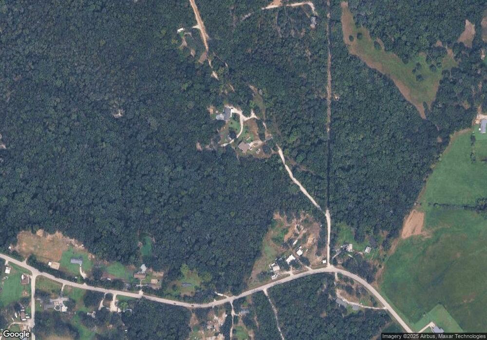
Map
Nearby Homes
- 5546 Dry Branch Rd
- 480 Lone Pine Ln
- 481 Family Rd
- 347 Roller Rd
- 1675 Peacock Rd
- 0 Peacock Rd
- 315 W Oak St
- 0 Oakridge Estate Block 2 Lot 40 Unit MIS25078527
- 5 Lots Mosley Ave
- 208 Mosley Ave
- 421 Lake Shore Dr
- 440 Lake Shore Dr
- 390 Highway Dr
- 0 Oakwood Dr
- 330 Young St
- 235 E Oak St
- 0 Crescent Lake Rd Unit MIS25079528
- 445 Lakeshore Dr
- 285 E Oak St
- 325 Iris Ct
- 445 Emily Rd
- 298 + - Ac Hwy Ww
- 296 Highway Ww
- 689 Emily Cemetery Rd
- 280 Highway Ww
- 324 Highway Ww
- 702 Wildwood Valley Ln
- 344 Highway Ww
- 325 Highway Ww
- 261 Highway Ww
- 132 Triplet Ln
- 337 Highway Ww
- 119 Petzold Dr
- 720 Wildwood Valley Ln
- 343 Highway Ww
- 520 Highway Ww
- 520 Hwy Ww
- 520 Highway Ww
- 520 Highway Ww
- 520 Highway Ww
Your Personal Tour Guide
Ask me questions while you tour the home.