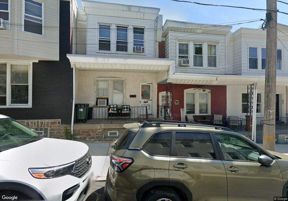
447 Krams Ave Philadelphia, PA 19128
Roxborough NeighborhoodEstimated Value: $251,000 - $311,464
3
Beds
1
Bath
1,120
Sq Ft
$262/Sq Ft
Est. Value
About This Home
This home is located at 447 Krams Ave, Philadelphia, PA 19128 and is currently estimated at $293,366, approximately $261 per square foot. 447 Krams Ave is a home located in Philadelphia County with nearby schools including James Dobson Elementary School, Roxborough High School, and Holy Child School.
Ownership History
Date
Name
Owned For
Owner Type
Purchase Details
Closed on
May 28, 2008
Sold by
Conroy Joseph M
Bought by
Stranzl Elliott and Wallace Elizabeth
Current Estimated Value
Home Financials for this Owner
Home Financials are based on the most recent Mortgage that was taken out on this home.
Original Mortgage
$194,448
Outstanding Balance
$125,286
Interest Rate
6.13%
Mortgage Type
FHA
Estimated Equity
$168,080
Purchase Details
Closed on
Mar 26, 2004
Sold by
Murphy Terrance and Murphy Linda
Bought by
Conroy Joseph M
Home Financials for this Owner
Home Financials are based on the most recent Mortgage that was taken out on this home.
Original Mortgage
$121,539
Interest Rate
5.6%
Mortgage Type
FHA
Purchase Details
Closed on
Jul 17, 2000
Sold by
Cole Donald A and Estate Of Lois Mary Bowie
Bought by
Grayson Jill Patricia
Create a Home Valuation Report for This Property
The Home Valuation Report is an in-depth analysis detailing your home's value as well as a comparison with similar homes in the area
Home Values in the Area
Average Home Value in this Area
Purchase History
| Date | Buyer | Sale Price | Title Company |
|---|---|---|---|
| Stranzl Elliott | $197,500 | None Available | |
| Conroy Joseph M | $122,500 | -- | |
| Grayson Jill Patricia | -- | -- |
Source: Public Records
Mortgage History
| Date | Status | Borrower | Loan Amount |
|---|---|---|---|
| Open | Stranzl Elliott | $194,448 | |
| Previous Owner | Conroy Joseph M | $121,539 |
Source: Public Records
Tax History Compared to Growth
Tax History
| Year | Tax Paid | Tax Assessment Tax Assessment Total Assessment is a certain percentage of the fair market value that is determined by local assessors to be the total taxable value of land and additions on the property. | Land | Improvement |
|---|---|---|---|---|
| 2025 | $2,983 | $247,400 | $49,480 | $197,920 |
| 2024 | $2,983 | $247,400 | $49,480 | $197,920 |
| 2023 | $2,983 | $213,100 | $42,620 | $170,480 |
| 2022 | $2,605 | $213,100 | $42,620 | $170,480 |
| 2021 | $2,605 | $0 | $0 | $0 |
| 2020 | $2,605 | $0 | $0 | $0 |
| 2019 | $2,560 | $0 | $0 | $0 |
| 2018 | $1,872 | $0 | $0 | $0 |
| 2017 | $2,291 | $0 | $0 | $0 |
| 2016 | $1,872 | $0 | $0 | $0 |
| 2015 | $1,792 | $0 | $0 | $0 |
| 2014 | -- | $163,700 | $14,858 | $148,842 |
| 2012 | -- | $16,128 | $1,718 | $14,410 |
Source: Public Records
Map
Nearby Homes
- 4531 Mitchell St
- 4538 Mitchell St
- 444 Dupont St
- 438 1/2 Leverington Ave
- 452 Green Ln
- 468 Leverington Ave
- 485 Ripka St
- 451 Green Ln
- 450 Ripka St
- 434-36 Conarroe St
- 6232 Ridge Ave
- 6106 Ridge Ave
- 4448 Mitchell St
- 481 Conarroe St
- 407 Conarroe St
- 375 Green Ln
- 4557 Manayunk Ave
- 389 Conarroe St
- 517 Conarroe St
- 472 Lyceum Ave
- 445 Krams Ave
- 449 Krams Ave
- 4526 Mitchell St
- 441 Krams Ave
- 439 Krams Ave
- 4524 Mitchell St
- 4536 Mitchell St
- 4540 Mitchell St
- 4529 Mitchell St
- 450 Dupont St
- 444 1/2 Krams Ave
- 448 Dupont St
- 446 Dupont St
- 444 Krams Ave
- 437 Krams Ave
- 4525 Mitchell St
- 4544 Mitchell St
- 4523 Mitchell St
- 446 Krams Ave
- 442 Dupont St