447 N Fork Murr Creek Rd Marion, MT 59925
Estimated Value: $881,136 - $933,000
3
Beds
2
Baths
1,842
Sq Ft
$492/Sq Ft
Est. Value
About This Home
This home is located at 447 N Fork Murr Creek Rd, Marion, MT 59925 and is currently estimated at $907,068, approximately $492 per square foot. 447 N Fork Murr Creek Rd is a home located in Flathead County with nearby schools including Marion Elementary School, Marion Junior High School, and Flathead High School.
Ownership History
Date
Name
Owned For
Owner Type
Purchase Details
Closed on
Nov 20, 2018
Sold by
Wright Mark and Wright Ruth
Bought by
Wright Family Trust
Current Estimated Value
Purchase Details
Closed on
Apr 17, 2013
Sold by
Lindner David
Bought by
Wright Mark and Wright Ruth
Purchase Details
Closed on
Jul 21, 2008
Sold by
Linder Rhonda L
Bought by
Anderson Leo K
Purchase Details
Closed on
Jul 16, 2008
Sold by
Lindner David
Bought by
Lindner Rhonda L
Purchase Details
Closed on
Mar 13, 2008
Sold by
Lindner Rhonda L
Bought by
Lindner David
Create a Home Valuation Report for This Property
The Home Valuation Report is an in-depth analysis detailing your home's value as well as a comparison with similar homes in the area
Home Values in the Area
Average Home Value in this Area
Purchase History
| Date | Buyer | Sale Price | Title Company |
|---|---|---|---|
| Wright Family Trust | -- | None Available | |
| Wright Mark | -- | First American Title Company | |
| Anderson Leo K | -- | Insured Titles | |
| Lindner Rhonda L | -- | None Available | |
| Lindner David | -- | First American Title Compnay |
Source: Public Records
Tax History Compared to Growth
Tax History
| Year | Tax Paid | Tax Assessment Tax Assessment Total Assessment is a certain percentage of the fair market value that is determined by local assessors to be the total taxable value of land and additions on the property. | Land | Improvement |
|---|---|---|---|---|
| 2025 | $2,659 | $743,900 | $0 | $0 |
| 2024 | $3,342 | $622,600 | $0 | $0 |
| 2023 | $3,399 | $622,600 | $0 | $0 |
| 2022 | $2,990 | $399,000 | $0 | $0 |
| 2021 | $3,014 | $399,000 | $0 | $0 |
| 2020 | $2,900 | $366,200 | $0 | $0 |
| 2019 | $2,856 | $366,200 | $0 | $0 |
| 2018 | $2,658 | $332,100 | $0 | $0 |
| 2017 | $2,690 | $332,100 | $0 | $0 |
| 2016 | $2,319 | $304,800 | $0 | $0 |
| 2015 | $2,334 | $304,800 | $0 | $0 |
| 2014 | $2,356 | $186,295 | $0 | $0 |
Source: Public Records
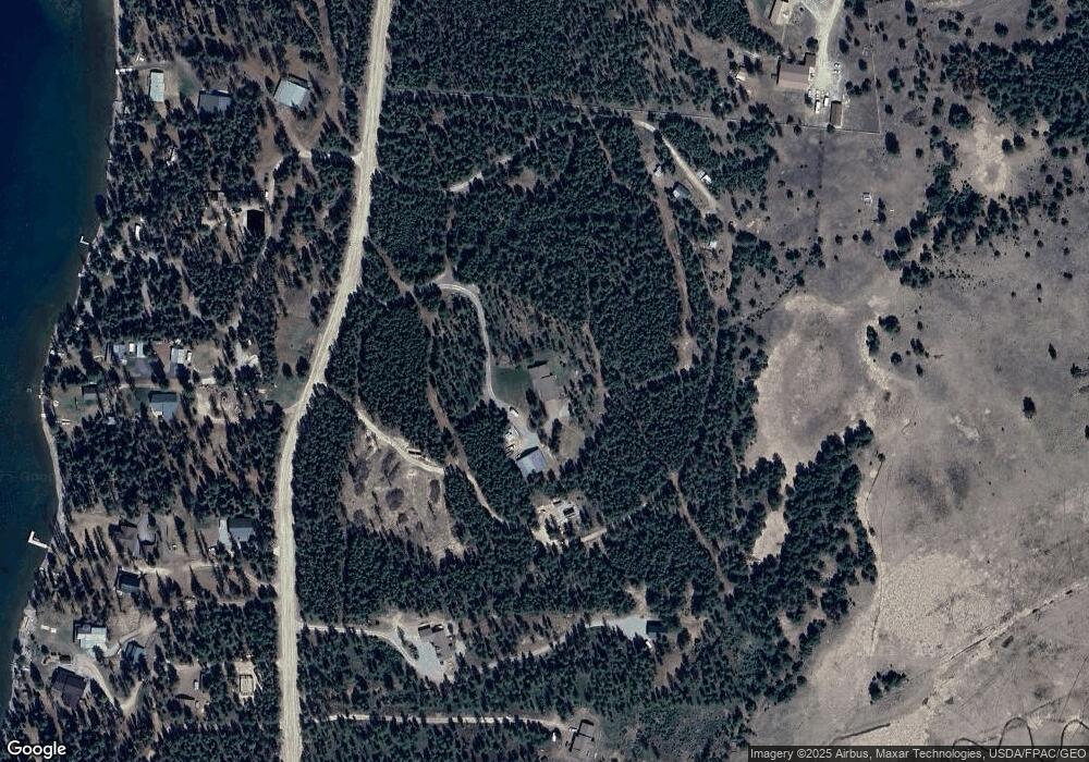
Map
Nearby Homes
- 152 Lakeview Terrace
- 200 Lakeview Terrace
- 856 Mcgregor Ln
- 826 Mcgregor Ln
- 1160 S McGregor Lake Rd
- 182 New Timber Ridge Trail
- NHN View Ridge
- 314 New Timber Ridge Trail
- 1034 View Ridge
- Nhn Lower Lost Prairie Rd
- 200 Hubbart Dam Rd
- 2950 Lower Lost Prairie Rd
- 315 Osprey Way
- 680 Lower Lost Prairie Rd
- 178 Sickler Creek Rd
- 855 Badger Hollow Trail
- 148 Badger Hollow Trail
- 9330 US Highway 2 W
- 1525 Bitterroot Ln
- 675 Griz Ln
- 463 N Fork Murr Creek Rd
- Nhn N Fork Murr Creek Rd
- 0 N Fork Murr Creek Rd Unit 330449
- 411 N Fork Murr Creek Rd
- 505 N Fork Murr Creek Rd
- 494 N Fork Murr Creek Rd
- 250 Mcgregor Ln
- 527 N Fork Murr Creek Rd
- 290 Mcgregor Ln
- 260 Mcgregor Ln
- 11600 Us Highway 2 W
- 11600 Us Highway 2 W
- 270 Mcgregor Ln
- 200 Mcgregor Ln
- 240 Mcgregor Ln
- 280 Mcgregor Ln
- 280 S McGregor Lake Rd
- 162 Mcgregor Ln
- 310 Mcgregor Ln
- 300 Mcgregor Ln