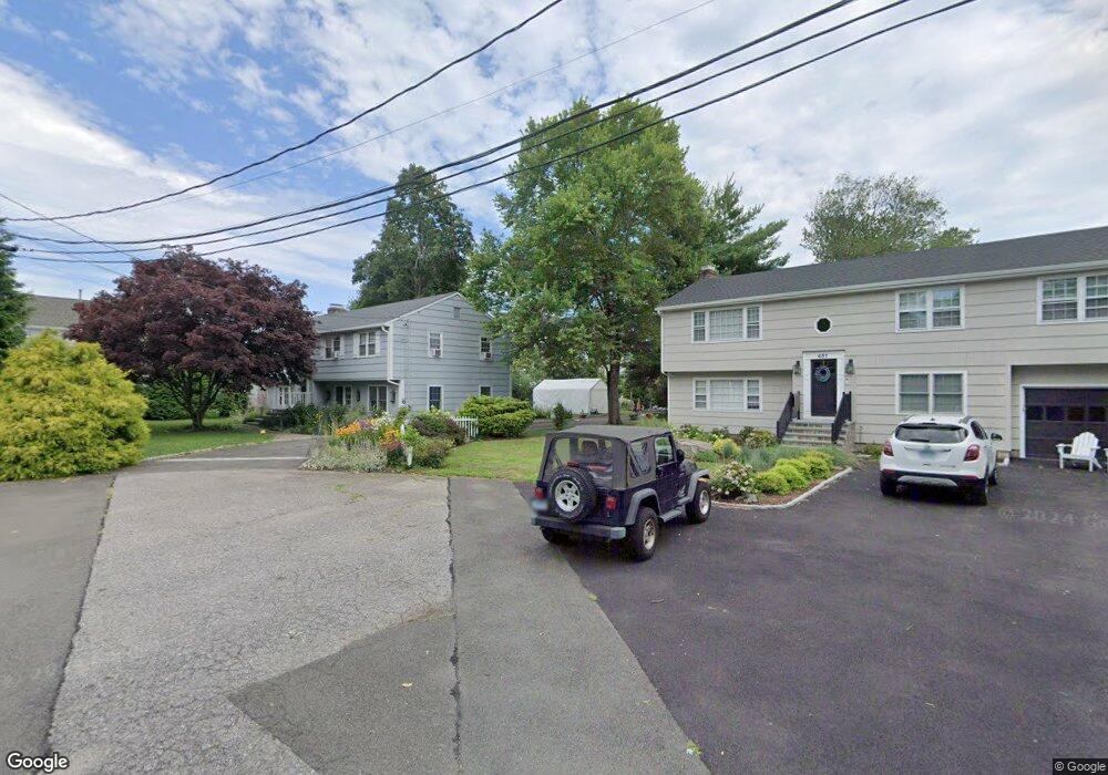
447 S Benson Rd Fairfield, CT 06824
Fairfield Beach NeighborhoodEstimated Value: $993,498 - $1,115,000
4
Beds
3
Baths
1,300
Sq Ft
$815/Sq Ft
Est. Value
About This Home
This home is located at 447 S Benson Rd, Fairfield, CT 06824 and is currently estimated at $1,059,625, approximately $815 per square foot. 447 S Benson Rd is a home located in Fairfield County with nearby schools including Roger Sherman Elementary School, Roger Ludlowe Middle School, and Fairfield Ludlowe High School.
Ownership History
Date
Name
Owned For
Owner Type
Purchase Details
Closed on
Dec 2, 1996
Sold by
Zandirad Tony S and Zandirad Cheryl T
Bought by
Connolly Michael J and Connolly Elizabeth N
Current Estimated Value
Home Financials for this Owner
Home Financials are based on the most recent Mortgage that was taken out on this home.
Original Mortgage
$232,000
Interest Rate
7.82%
Mortgage Type
Unknown
Purchase Details
Closed on
Jul 22, 1994
Sold by
Dressel Johanne C
Bought by
Zandirad Tony S and Zandirad Cheryl T
Create a Home Valuation Report for This Property
The Home Valuation Report is an in-depth analysis detailing your home's value as well as a comparison with similar homes in the area
Home Values in the Area
Average Home Value in this Area
Purchase History
| Date | Buyer | Sale Price | Title Company |
|---|---|---|---|
| Connolly Michael J | $290,000 | -- | |
| Connolly Michael J | $290,000 | -- | |
| Zandirad Tony S | $260,500 | -- | |
| Zandirad Tony S | $260,500 | -- |
Source: Public Records
Mortgage History
| Date | Status | Borrower | Loan Amount |
|---|---|---|---|
| Open | Zandirad Tony S | $202,224 | |
| Closed | Zandirad Tony S | $215,300 | |
| Closed | Zandirad Tony S | $232,000 |
Source: Public Records
Tax History Compared to Growth
Tax History
| Year | Tax Paid | Tax Assessment Tax Assessment Total Assessment is a certain percentage of the fair market value that is determined by local assessors to be the total taxable value of land and additions on the property. | Land | Improvement |
|---|---|---|---|---|
| 2025 | $12,011 | $423,080 | $337,050 | $86,030 |
| 2024 | $11,804 | $423,080 | $337,050 | $86,030 |
| 2023 | $11,639 | $423,080 | $337,050 | $86,030 |
| 2022 | $11,525 | $423,080 | $337,050 | $86,030 |
| 2021 | $11,415 | $423,080 | $337,050 | $86,030 |
| 2020 | $10,678 | $398,580 | $298,830 | $99,750 |
| 2019 | $10,678 | $398,580 | $298,830 | $99,750 |
| 2018 | $10,507 | $398,580 | $298,830 | $99,750 |
| 2017 | $10,291 | $398,580 | $298,830 | $99,750 |
| 2016 | $10,144 | $398,580 | $298,830 | $99,750 |
| 2015 | $9,874 | $398,300 | $306,460 | $91,840 |
| 2014 | $9,719 | $398,300 | $306,460 | $91,840 |
Source: Public Records
Map
Nearby Homes
- 96 Clinton St
- 174 Sunnieholme Dr
- 117 Turney Rd
- 361 Riverside Dr
- 260 Birch Rd
- 378 Penfield Rd
- 394 Penfield Rd
- 2180 Kings Hwy Unit 1
- 38 Edge Hill Rd
- 0 Battery Park Dr
- 35 Millard St
- 137 Millard St
- 122 Colony St
- 465 Edward St
- 345 Reef Rd Unit B6
- 345 Reef Rd Unit C9
- 748 Rowland Rd
- 20 Ermine St
- 783 Reef Rd
- 294 Catherine Terrace