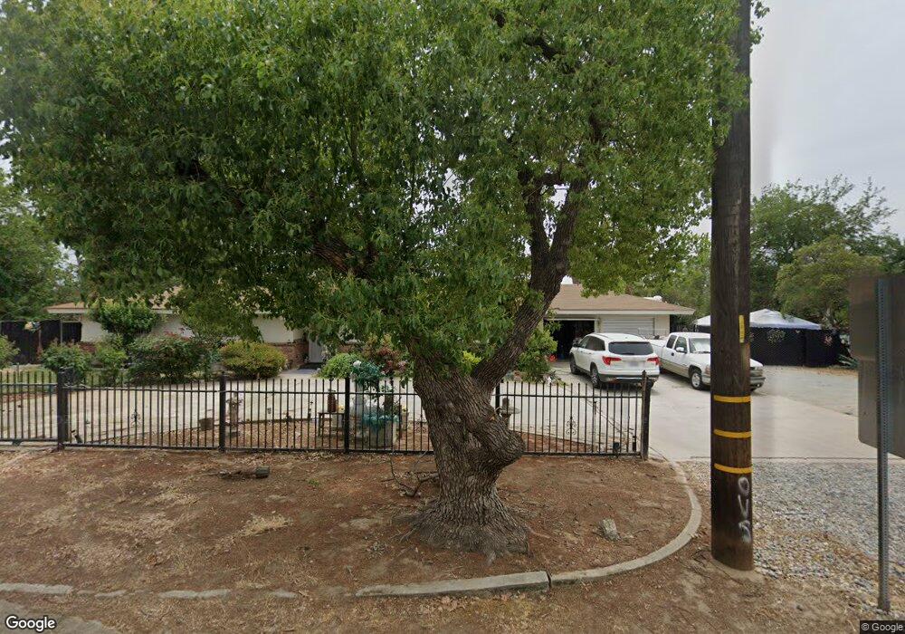
447 W Swift Ave Fresno, CA 93705
Bullard NeighborhoodEstimated Value: $423,000 - $595,000
3
Beds
2
Baths
1,875
Sq Ft
$264/Sq Ft
Est. Value
About This Home
This home is located at 447 W Swift Ave, Fresno, CA 93705 and is currently estimated at $495,136, approximately $264 per square foot. 447 W Swift Ave is a home located in Fresno County with nearby schools including Powers-Ginsburg Elementary, Bullard High School, and Aspen Valley Prep Academy.
Ownership History
Date
Name
Owned For
Owner Type
Purchase Details
Closed on
Feb 12, 2001
Sold by
Coleman Carol M
Bought by
Snowden Curtis L and Snowden Mary L
Current Estimated Value
Home Financials for this Owner
Home Financials are based on the most recent Mortgage that was taken out on this home.
Original Mortgage
$132,050
Outstanding Balance
$47,341
Interest Rate
6.98%
Estimated Equity
$447,795
Purchase Details
Closed on
Aug 11, 1997
Sold by
Baboian Eileen L
Bought by
Baboian Eileen L
Create a Home Valuation Report for This Property
The Home Valuation Report is an in-depth analysis detailing your home's value as well as a comparison with similar homes in the area
Home Values in the Area
Average Home Value in this Area
Purchase History
| Date | Buyer | Sale Price | Title Company |
|---|---|---|---|
| Snowden Curtis L | $139,000 | First American Title Ins Co | |
| Baboian Eileen L | -- | -- |
Source: Public Records
Mortgage History
| Date | Status | Borrower | Loan Amount |
|---|---|---|---|
| Open | Snowden Curtis L | $132,050 |
Source: Public Records
Tax History Compared to Growth
Tax History
| Year | Tax Paid | Tax Assessment Tax Assessment Total Assessment is a certain percentage of the fair market value that is determined by local assessors to be the total taxable value of land and additions on the property. | Land | Improvement |
|---|---|---|---|---|
| 2025 | $2,474 | $209,425 | $60,260 | $149,165 |
| 2023 | $2,425 | $201,295 | $57,921 | $143,374 |
| 2022 | $2,391 | $197,349 | $56,786 | $140,563 |
| 2021 | $2,323 | $193,480 | $55,673 | $137,807 |
| 2020 | $2,313 | $191,497 | $55,103 | $136,394 |
| 2019 | $2,221 | $187,743 | $54,023 | $133,720 |
| 2018 | $2,256 | $184,063 | $52,964 | $131,099 |
| 2017 | $2,218 | $180,455 | $51,926 | $128,529 |
| 2016 | $2,144 | $176,917 | $50,908 | $126,009 |
| 2015 | $2,111 | $174,261 | $50,144 | $124,117 |
| 2014 | $2,070 | $170,848 | $49,162 | $121,686 |
Source: Public Records
Map
Nearby Homes
- 4246 N Holt Ave
- 4264 N Holt Ave
- 4261 N Holt Ave
- 1028 W Holland Ave
- 4366 N Holt Ave
- 929 W Norwich Ave
- 82 E Sussex Way
- 1027 W Ashcroft Ave
- 94 E Sussex Way
- 4481 N Palm Ave
- 4702 N Fruit Ave
- 638 W Rialto Ave
- 4306 N Emerson Ave
- 4480 N Palm Ave
- 4666 N Harrison Ave
- 3932 N Safford Ave
- B N Fruit Ave
- 336 E Gettysburg Ave
- 1245 W Pico Ave
- A N Fruit Ave
- 4268 N Fruit Ave
- 415 W Swift Ave
- 505 W Swift Ave
- 410 W Swift Ave
- 4265 N Fruit Ave
- 4244 N Fruit Ave
- 4313 N Fruit Ave
- 331 W Swift Ave
- 4328 N Fruit Ave
- 4253 N Fruit Ave
- 535 W Swift Ave
- 330 W Swift Ave
- 4268 N Carruth Ave
- 4323 N Fruit Ave
- 4261 N Arthur Ave
- 4352 N Fruit Ave
- 4246 N Carruth Ave
- 4235 N Fruit Ave
- 4287 N Arthur Ave
- 4336 N Carruth Ave