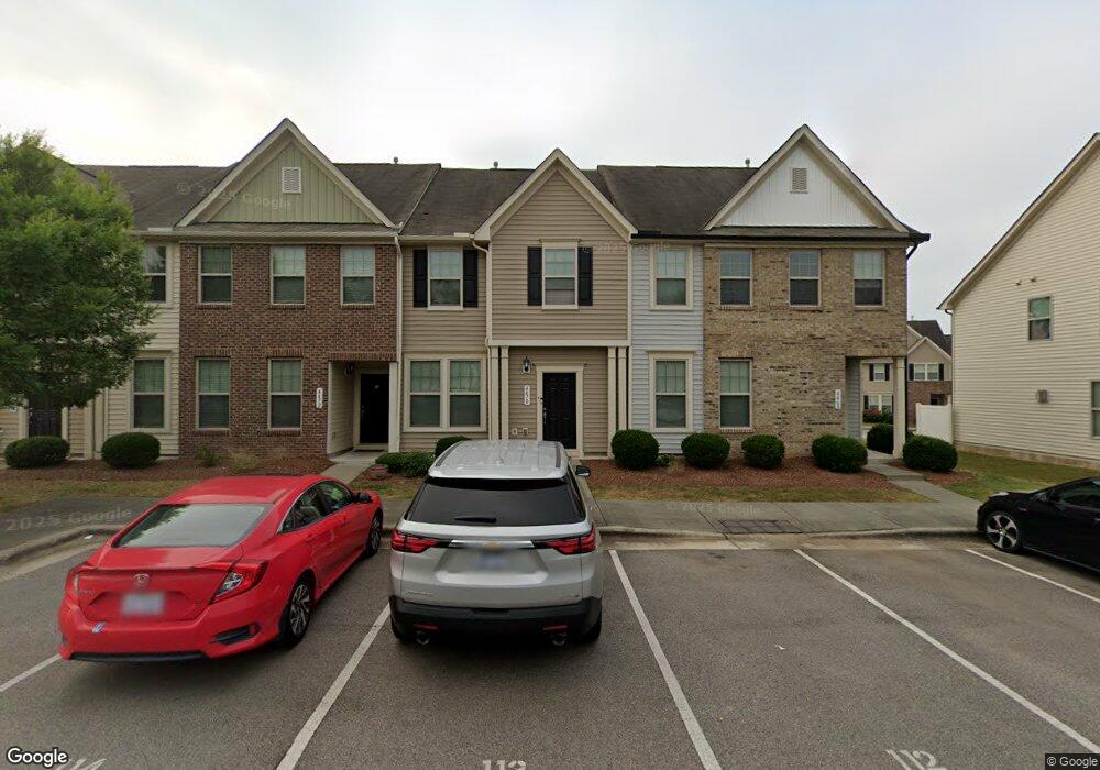
4470 Middletown Dr Wake Forest, NC 27587
Estimated Value: $274,834 - $286,000
Studio
1
Bath
1,572
Sq Ft
$177/Sq Ft
Est. Value
About This Home
This home is located at 4470 Middletown Dr, Wake Forest, NC 27587 and is currently estimated at $278,209, approximately $176 per square foot. 4470 Middletown Dr is a home with nearby schools including Sanford Creek Elementary School, Wake Forest-Rolesville Middle School, and Wake Forest High School.
Ownership History
Date
Name
Owned For
Owner Type
Purchase Details
Closed on
Mar 24, 2014
Sold by
Dan Ryan Builders North Carolina Llc
Bought by
Magal Meir and Shebesh-Magal Dana
Current Estimated Value
Home Financials for this Owner
Home Financials are based on the most recent Mortgage that was taken out on this home.
Original Mortgage
$110,680
Outstanding Balance
$83,572
Interest Rate
4.24%
Mortgage Type
New Conventional
Estimated Equity
$194,637
Create a Home Valuation Report for This Property
The Home Valuation Report is an in-depth analysis detailing your home's value as well as a comparison with similar homes in the area
Home Values in the Area
Average Home Value in this Area
Purchase History
| Date | Buyer | Sale Price | Title Company |
|---|---|---|---|
| Magal Meir | $138,500 | None Available |
Source: Public Records
Mortgage History
| Date | Status | Borrower | Loan Amount |
|---|---|---|---|
| Open | Magal Meir | $110,680 |
Source: Public Records
Tax History
| Year | Tax Paid | Tax Assessment Tax Assessment Total Assessment is a certain percentage of the fair market value that is determined by local assessors to be the total taxable value of land and additions on the property. | Land | Improvement |
|---|---|---|---|---|
| 2025 | $2,790 | $290,894 | $70,000 | $220,894 |
| 2024 | $2,779 | $290,894 | $70,000 | $220,894 |
Source: Public Records
Map
Nearby Homes
- 4438 Hillsgrove Rd
- 4447 Middletown Dr
- 4205 Ginger Sprout Dr
- 4509 Middletown Dr
- 4208 Tain Burgh Ct
- 8330 Bratt Ave
- 2928 Thurman Dairy Loop
- 2908 Thurman Dairy Loop
- 3100 Lariat Ridge Dr
- 3100 Countryman Ct
- 3037 Thurman Dairy Loop
- 3065 Thurman Dairy Loop
- 3047 Winding Waters Way
- 8911 Elizabeth Bennet Place
- 3123 Winding Waters Way
- 3101 Greenville Loop Rd
- 10822 Greater Hills St
- 9232 Kitchin Farms Way
- 8857 Thornton Town Place
- 9237 Kitchin Farms Way Unit 429
- 4468 Middletown Dr
- 4472 Middletown Dr
- 4474 Middletown Dr
- 4476 Middletown Dr
- 4466 Middletown Dr
- 4411 Hillsgrove Rd
- 4022 Hillsgrove Rd
- 4478 Middletown Dr
- 4464 Middletown Dr
- 4462 Middletown Dr
- 4480 Middletown Dr
- 4460 Middletown Dr
- 4463 Middletown Dr
- 4465 Middletown Dr
- 4459 Middletown Dr
- 4449 Hillsgrove Rd
- 4482 Middletown Dr
- 4467 Middletown Dr
- 4457 Middletown Dr
- 4418 Hillsgrove Rd
Your Personal Tour Guide
Ask me questions while you tour the home.