Estimated Value: $599,000 - $960,530
2
Beds
2
Baths
1,834
Sq Ft
$439/Sq Ft
Est. Value
About This Home
This home is located at 4471 Moccasin Point Rd, Tower, MN 55790 and is currently estimated at $805,383, approximately $439 per square foot. 4471 Moccasin Point Rd is a home located in St. Louis County with nearby schools including Tower-Soudan Elementary School.
Ownership History
Date
Name
Owned For
Owner Type
Purchase Details
Closed on
Jun 15, 2017
Sold by
Miller Thomas R and Miller Marjorie Ann
Bought by
Miller Thomas R and Miller Marjorie Ann
Current Estimated Value
Purchase Details
Closed on
May 18, 2017
Sold by
Niekrasz Edward S and Niekrasz Kim C
Bought by
Mann Mary Ellen B and Mann Stephen J
Purchase Details
Closed on
Oct 15, 2012
Sold by
Miller Marjorie Ann and Miller Thomas R
Bought by
Miller Marjorie Ann and Miller Thomas R
Home Financials for this Owner
Home Financials are based on the most recent Mortgage that was taken out on this home.
Original Mortgage
$127,000
Interest Rate
3.55%
Mortgage Type
New Conventional
Purchase Details
Closed on
Jan 4, 2001
Sold by
Pauchnik Max J
Bought by
Miller Marjorie Ann and Motley Marcia Kay
Create a Home Valuation Report for This Property
The Home Valuation Report is an in-depth analysis detailing your home's value as well as a comparison with similar homes in the area
Home Values in the Area
Average Home Value in this Area
Purchase History
| Date | Buyer | Sale Price | Title Company |
|---|---|---|---|
| Miller Thomas R | -- | None Available | |
| Mann Mary Ellen B | $96,666 | None Available | |
| Miller Marjorie Ann | -- | Ne Va | |
| Miller Marjorie Ann | -- | -- |
Source: Public Records
Mortgage History
| Date | Status | Borrower | Loan Amount |
|---|---|---|---|
| Previous Owner | Miller Marjorie Ann | $127,000 |
Source: Public Records
Tax History Compared to Growth
Tax History
| Year | Tax Paid | Tax Assessment Tax Assessment Total Assessment is a certain percentage of the fair market value that is determined by local assessors to be the total taxable value of land and additions on the property. | Land | Improvement |
|---|---|---|---|---|
| 2024 | $6,494 | $790,500 | $326,300 | $464,200 |
| 2023 | $6,494 | $757,100 | $311,700 | $445,400 |
| 2022 | $6,052 | $744,800 | $299,400 | $445,400 |
| 2021 | $4,814 | $604,900 | $255,500 | $349,400 |
| 2020 | $4,432 | $498,300 | $255,500 | $242,800 |
| 2019 | $4,336 | $458,500 | $219,100 | $239,400 |
| 2018 | $4,156 | $457,800 | $218,400 | $239,400 |
| 2017 | $3,658 | $433,400 | $218,500 | $214,900 |
| 2016 | $3,740 | $396,300 | $218,500 | $177,800 |
| 2015 | $3,837 | $362,200 | $171,800 | $190,400 |
| 2014 | $3,837 | $379,200 | $172,500 | $206,700 |
Source: Public Records
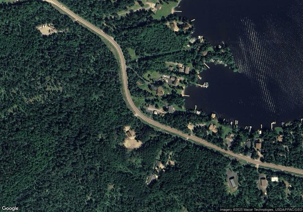
Map
Nearby Homes
- 3638 Fectos Rd
- 3609 Fectos Rd
- TBD (Lot C) Fectos Rd
- TBD (Lot B) Fectos Rd
- PARCEL D Fectos Rd
- 95536 Pine Island
- 2236 Birch Point Rd
- 2236 Birch Point Rd Unit A
- 2438 Birch Point Rd
- 3739 Sundling Rd
- 3101 Old Highway 77
- 3779 Sundling Rd
- TBD (Lot E) County Highway 77
- 2001 A&B Bayview Dr
- 2001 A&B Bayview Rd
- 3382 Breezy Point Rd
- 3300 Breezy Point Rd
- Parcel 1 Tbd Hwy 115
- Parcel 2 Tbd Hwy 115
- Parcel 3 Tbd Hwy 115
- 4473 Moccasin Point Rd
- 4475 Moccasin Point Rd
- Birch Lot Highway 77
- Balsam Lot Highway 77
- 4477 Moccasin Point Rd
- Maple Lot Highway 77
- xxx Moccasin Point
- TBD Moccasin Point Rd
- TBD Moccasin Point Rd Rd
- Willow Highway 77
- Red Pine Highway 77
- 4469 Moccasin Point Rd
- 4469 Moccasin Point Rd
- 4468 Moccasin Point Rd
- Moccasin Moccasin Pt Rd
- X Moccasin Point Rd
- Lot 3, Blk 2 Moccasin Point Rd
- Lot 4, Blk 2 Moccasin Point Rd
- 4479 Moccasin Point Rd
- 4483 Moccasin Point Rd