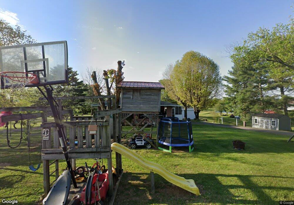
4472 Beechurst Ave Morristown, TN 37813
Estimated Value: $256,000 - $525,000
--
Bed
4
Baths
2,030
Sq Ft
$189/Sq Ft
Est. Value
About This Home
This home is located at 4472 Beechurst Ave, Morristown, TN 37813 and is currently estimated at $384,505, approximately $189 per square foot. 4472 Beechurst Ave is a home located in Hamblen County with nearby schools including Union Heights Elementary School, East Ridge Middle School, and Morristown East High School.
Ownership History
Date
Name
Owned For
Owner Type
Purchase Details
Closed on
May 27, 2010
Sold by
Lowe Linda Ann
Bought by
Glasscock Jimmie L
Current Estimated Value
Home Financials for this Owner
Home Financials are based on the most recent Mortgage that was taken out on this home.
Original Mortgage
$155,900
Outstanding Balance
$104,638
Interest Rate
5%
Estimated Equity
$279,867
Purchase Details
Closed on
May 10, 1967
Bought by
Lowe Orbin W and Lowe Helen C
Create a Home Valuation Report for This Property
The Home Valuation Report is an in-depth analysis detailing your home's value as well as a comparison with similar homes in the area
Home Values in the Area
Average Home Value in this Area
Purchase History
| Date | Buyer | Sale Price | Title Company |
|---|---|---|---|
| Glasscock Jimmie L | $158,000 | -- | |
| Lowe Orbin W | -- | -- |
Source: Public Records
Mortgage History
| Date | Status | Borrower | Loan Amount |
|---|---|---|---|
| Open | Lowe Orbin W | $155,900 |
Source: Public Records
Tax History Compared to Growth
Tax History
| Year | Tax Paid | Tax Assessment Tax Assessment Total Assessment is a certain percentage of the fair market value that is determined by local assessors to be the total taxable value of land and additions on the property. | Land | Improvement |
|---|---|---|---|---|
| 2024 | $988 | $50,175 | $7,200 | $42,975 |
| 2023 | $979 | $49,700 | $0 | $0 |
| 2022 | $971 | $49,275 | $7,200 | $42,075 |
| 2021 | $919 | $46,625 | $7,200 | $39,425 |
| 2020 | $919 | $46,625 | $7,200 | $39,425 |
| 2019 | $865 | $40,625 | $7,300 | $33,325 |
| 2018 | $865 | $40,625 | $7,300 | $33,325 |
| 2017 | $865 | $40,625 | $7,300 | $33,325 |
| 2016 | $808 | $40,625 | $7,300 | $33,325 |
| 2015 | $752 | $40,625 | $7,300 | $33,325 |
| 2014 | -- | $40,625 | $7,300 | $33,325 |
| 2013 | -- | $46,925 | $0 | $0 |
Source: Public Records
Map
Nearby Homes
- 58/Ac Tbd River View Dr
- 58/Ac Tbd River View Dr Unit 2
- 2036 River View Dr
- 2034 River View Dr
- 2034 River View Dr Unit 1
- 0 Tbd River View Dr Unit Lot@WP001
- 4207 Clyde Thomas Rd
- 4520 Enka Hwy
- 4996 Saint Paul Rd
- TBD Buell Chapel Rd
- 0 Springvale Rd
- 1163 Nathan Dr
- 5262 Buell Chapel Rd
- 848 Spencer Hale Rd
- 5056 Spencer Hale Rd
- 2840-2830 Robinson Creek Rd
- 1509 River Path
- 1515 River Path Unit 46
- 1515 River Path
- 4486 Beechurst Ave
- 4467 Beechurst Ave
- 2001 River View Dr
- 2014 River View Dr
- Lot 29 River View Dr
- 2027 River View Dr
- 4524 Langdon Rd
- 2056 River View Dr
- 4560 Saint Paul Rd
- 4550 Langdon Rd
- 2068 River View Dr
- 4535 Saint Paul Rd
- 2250 Amanda Ave
- 4360 Toni Ave
- 4565 Saint Paul Rd
- 4517 Saint Paul Rd
- 4330 Toni Ave
- 4375 Toni Ave
- 4668 Saint Paul Rd
- 2290 Amanda Ave
