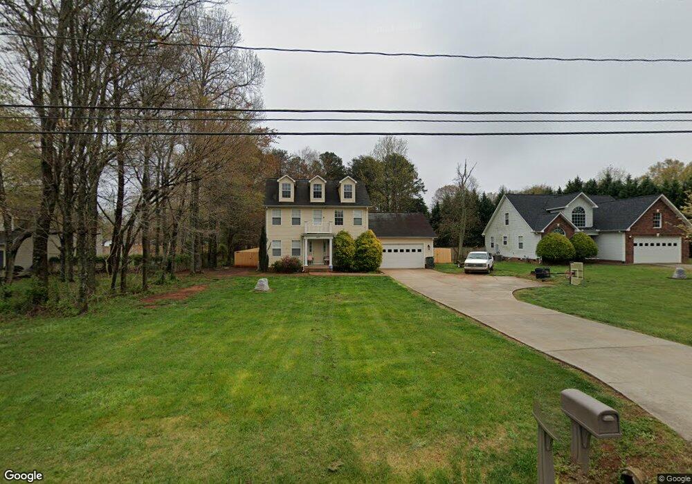
4475 Mooresville Rd Salisbury, NC 28147
Estimated Value: $316,871 - $375,000
3
Beds
3
Baths
1,713
Sq Ft
$200/Sq Ft
Est. Value
About This Home
This home is located at 4475 Mooresville Rd, Salisbury, NC 28147 and is currently estimated at $343,218, approximately $200 per square foot. 4475 Mooresville Rd is a home located in Rowan County with nearby schools including Hurley Elementary School, Southeast Middle School, and West Rowan High School.
Ownership History
Date
Name
Owned For
Owner Type
Purchase Details
Closed on
Mar 10, 2025
Sold by
Westbrook Shaun
Bought by
Westbrook Tonya B
Current Estimated Value
Purchase Details
Closed on
Jun 1, 2012
Sold by
Weston Samantha Renee
Bought by
Westbrook Shuan and Westbrook Tonya B
Home Financials for this Owner
Home Financials are based on the most recent Mortgage that was taken out on this home.
Original Mortgage
$136,482
Interest Rate
4.4%
Mortgage Type
FHA
Purchase Details
Closed on
May 23, 2006
Sold by
Plantation Ridge
Bought by
Welton Samantha Renee
Home Financials for this Owner
Home Financials are based on the most recent Mortgage that was taken out on this home.
Original Mortgage
$31,980
Interest Rate
6.41%
Mortgage Type
Stand Alone Second
Purchase Details
Closed on
May 3, 2005
Sold by
Fisher Realty Inc
Bought by
Plantation Ridge
Create a Home Valuation Report for This Property
The Home Valuation Report is an in-depth analysis detailing your home's value as well as a comparison with similar homes in the area
Purchase History
| Date | Buyer | Sale Price | Title Company |
|---|---|---|---|
| Westbrook Tonya B | -- | None Listed On Document | |
| Westbrook Shuan | $139,000 | None Available | |
| Welton Samantha Renee | $160,000 | Chicago Title Insurance Co | |
| Plantation Ridge | $100,000 | -- |
Source: Public Records
Mortgage History
| Date | Status | Borrower | Loan Amount |
|---|---|---|---|
| Previous Owner | Westbrook Shuan | $136,482 | |
| Previous Owner | Welton Samantha Renee | $31,980 | |
| Previous Owner | Welton Samantha Renee | $127,920 |
Source: Public Records
Tax History
| Year | Tax Paid | Tax Assessment Tax Assessment Total Assessment is a certain percentage of the fair market value that is determined by local assessors to be the total taxable value of land and additions on the property. | Land | Improvement |
|---|---|---|---|---|
| 2025 | $1,685 | $248,757 | $30,000 | $218,757 |
| 2024 | $1,685 | $248,757 | $30,000 | $218,757 |
| 2023 | $1,685 | $248,757 | $30,000 | $218,757 |
| 2022 | $1,233 | $163,268 | $26,000 | $137,268 |
| 2021 | $1,220 | $163,268 | $26,000 | $137,268 |
| 2020 | $1,220 | $163,268 | $26,000 | $137,268 |
| 2019 | $1,220 | $163,268 | $26,000 | $137,268 |
| 2018 | $1,052 | $141,898 | $26,000 | $115,898 |
| 2017 | $1,052 | $141,898 | $26,000 | $115,898 |
| 2016 | $1,052 | $141,898 | $26,000 | $115,898 |
| 2015 | $1,064 | $141,898 | $26,000 | $115,898 |
| 2014 | $1,058 | $148,004 | $26,000 | $122,004 |
Source: Public Records
Map
Nearby Homes
- 2885 Wright Ave
- 1300 Briarwood Terrace
- 4710 Mooresville Rd
- 4712 Mooresville Rd
- 170 Heritage Ln
- 245 Spicewood Ln Unit 25
- 225 Roger Dr
- 135 Devon Dr
- 1250 Edgewood Ct
- 335 Bonaventure Dr
- 206 Cedar Dr
- 325 Bonaventure Dr
- 265 Prospect Trail
- 540 Roger Dr
- 415 Autumnlight Dr
- 114 Cedar Dr
- 215 Autumn Chapel Dr
- 112 Cedar Dr
- 000 Mooresville Rd
- 140 Overbrook Rd
- 4465 Mooresville Rd
- 4485 Mooresville Rd
- 1160 Phillip St
- 3070 Airport Rd
- 4455 Mooresville Rd
- 3050 Airport Rd
- 1160 Phillip St
- 1150 Phillip St
- 1165 Phillip St
- 4105 Mooresville Rd
- 3045 Airport Rd
- 3035 Airport Rd
- 4103 Mooresville Rd
- 3030 Airport Rd
- 3055 Airport Rd
- 1155 Phillip St
- 1155 Phillip St Unit 54
- 1140 Phillip St
- 3025 Airport Rd
- 1145 Phillip St
Your Personal Tour Guide
Ask me questions while you tour the home.