44769 Paw Paw Rd Paw Paw, MI 49079
Estimated Value: $197,834 - $231,000
--
Bed
1
Bath
1,824
Sq Ft
$117/Sq Ft
Est. Value
About This Home
This home is located at 44769 Paw Paw Rd, Paw Paw, MI 49079 and is currently estimated at $213,709, approximately $117 per square foot. 44769 Paw Paw Rd is a home located in Van Buren County with nearby schools including Paw Paw Early Elementary School, Paw Paw Later Elementary School, and Paw Paw Middle School.
Ownership History
Date
Name
Owned For
Owner Type
Purchase Details
Closed on
Aug 23, 2024
Sold by
Smith Bobby L and Smith Suzanne K
Bought by
Mckaidan Sean
Current Estimated Value
Home Financials for this Owner
Home Financials are based on the most recent Mortgage that was taken out on this home.
Original Mortgage
$172,800
Outstanding Balance
$170,807
Interest Rate
6.77%
Mortgage Type
New Conventional
Estimated Equity
$42,902
Purchase Details
Closed on
Dec 22, 2000
Sold by
Jones Joseph N and Jones Michelle J
Bought by
Smith Bobby L and Smith Suzanne K
Create a Home Valuation Report for This Property
The Home Valuation Report is an in-depth analysis detailing your home's value as well as a comparison with similar homes in the area
Home Values in the Area
Average Home Value in this Area
Purchase History
| Date | Buyer | Sale Price | Title Company |
|---|---|---|---|
| Mckaidan Sean | $180,000 | Chicago Title | |
| Smith Bobby L | $88,500 | -- |
Source: Public Records
Mortgage History
| Date | Status | Borrower | Loan Amount |
|---|---|---|---|
| Open | Mckaidan Sean | $172,800 |
Source: Public Records
Tax History Compared to Growth
Tax History
| Year | Tax Paid | Tax Assessment Tax Assessment Total Assessment is a certain percentage of the fair market value that is determined by local assessors to be the total taxable value of land and additions on the property. | Land | Improvement |
|---|---|---|---|---|
| 2025 | $1,582 | $81,000 | $0 | $0 |
| 2024 | $480 | $70,700 | $0 | $0 |
| 2023 | $457 | $61,700 | $0 | $0 |
| 2022 | $1,443 | $54,800 | $0 | $0 |
| 2021 | $1,400 | $53,900 | $12,000 | $41,900 |
| 2020 | $1,319 | $53,500 | $12,000 | $41,500 |
| 2019 | $1,251 | $49,300 | $16,200 | $33,100 |
| 2018 | $1,221 | $44,200 | $24,500 | $19,700 |
| 2017 | $1,194 | $36,700 | $5,600 | $31,100 |
| 2016 | $1,185 | $45,700 | $5,600 | $40,100 |
| 2015 | $1,231 | $45,700 | $5,600 | $40,100 |
| 2014 | $1,244 | $40,349 | $0 | $0 |
| 2013 | -- | $41,800 | $11,300 | $30,500 |
Source: Public Records
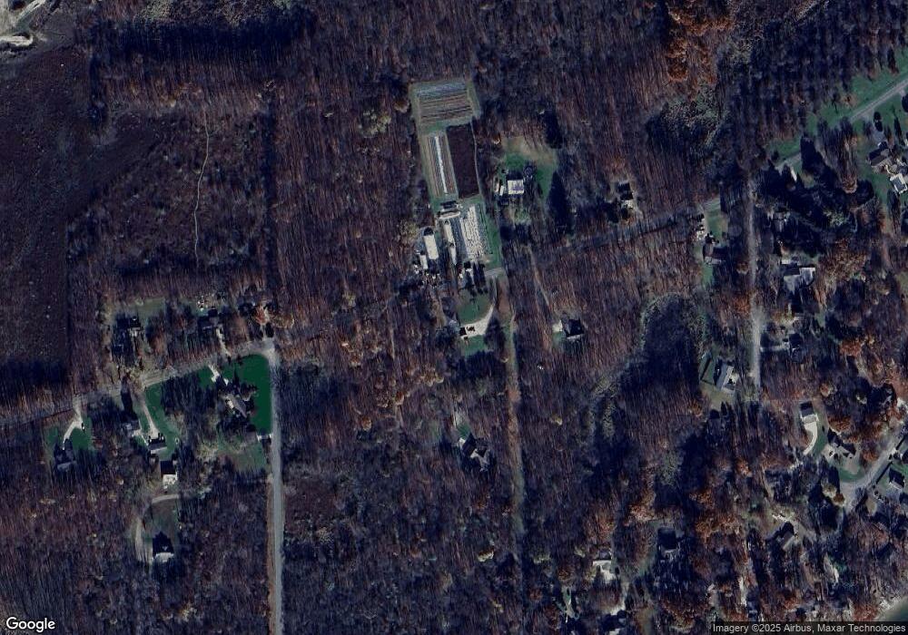
Map
Nearby Homes
- 45717 64th Ave
- 0 70th Ave
- Parcel A Territorial Rd
- 66598 Territorial Rd
- 58797 Territorial Rd
- 58356 Cr 671
- 57653 W Red Arrow Hwy
- 59388 41st St
- 44702 B 56th Ave
- 69217 51st St
- 47404 Red Arrow Hwy
- 40421 W Red Arrow Hwy
- 38126 72nd Ave
- 38126 72nd Ave Unit b
- 73541 39th St
- 62619 N County Road 365
- 80380 42nd St
- 80660 42nd St
- 81979 44th St
- 42658 82nd Ave
- 44769 Paw Paw Rd
- 44769 Paw Paw Rd
- 44665 Paw Paw Rd
- 44795 Paw Paw Rd
- 44690 Paw Paw Rd
- 67370 Eagle Dr
- 45014 Paw Paw Rd
- 45014 Paw Paw Rd
- 44506 Paw Rd
- 44506 Paw Paw Rd
- 45055 Paw Rd
- 45055 Paw Paw Rd
- 45080 Paw Paw Rd
- 44441 Paw Rd
- 67144 Hoodrije Dr
- 44441 Paw Paw Rd
- 44811 Paw Paw Rd
- 67196 Hoodrije Dr
- 44819 Paw Rd
- 39 Hoodrije Dr