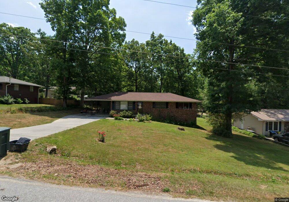
448 Andrews Rd Toccoa, GA 30577
Estimated Value: $201,595 - $249,000
3
Beds
2
Baths
1,175
Sq Ft
$188/Sq Ft
Est. Value
About This Home
This home is located at 448 Andrews Rd, Toccoa, GA 30577 and is currently estimated at $221,149, approximately $188 per square foot. 448 Andrews Rd is a home located in Stephens County with nearby schools including Stephens County High School.
Ownership History
Date
Name
Owned For
Owner Type
Purchase Details
Closed on
May 22, 2020
Sold by
Maxwell Robin
Bought by
Collett Shana Marie
Current Estimated Value
Home Financials for this Owner
Home Financials are based on the most recent Mortgage that was taken out on this home.
Original Mortgage
$132,554
Outstanding Balance
$116,946
Interest Rate
3.3%
Mortgage Type
FHA
Estimated Equity
$104,203
Purchase Details
Closed on
Sep 16, 2019
Sold by
Boltz Joy Ellen
Bought by
Maxwell Robin
Purchase Details
Closed on
Jul 28, 2006
Sold by
Leverette John E
Bought by
Boltz Robert E and Boltz Joy
Purchase Details
Closed on
Aug 1, 1989
Bought by
<Buyer Info Not Present>
Create a Home Valuation Report for This Property
The Home Valuation Report is an in-depth analysis detailing your home's value as well as a comparison with similar homes in the area
Purchase History
| Date | Buyer | Sale Price | Title Company |
|---|---|---|---|
| Collett Shana Marie | $135,000 | -- | |
| Maxwell Robin | $80,000 | -- | |
| Boltz Robert E | $80,000 | -- | |
| <Buyer Info Not Present> | $49,900 | -- |
Source: Public Records
Mortgage History
| Date | Status | Borrower | Loan Amount |
|---|---|---|---|
| Open | Collett Shana Marie | $132,554 |
Source: Public Records
Tax History
| Year | Tax Paid | Tax Assessment Tax Assessment Total Assessment is a certain percentage of the fair market value that is determined by local assessors to be the total taxable value of land and additions on the property. | Land | Improvement |
|---|---|---|---|---|
| 2025 | $1,744 | $75,180 | $2,268 | $72,912 |
| 2024 | $1,676 | $48,725 | $2,268 | $46,457 |
| 2023 | $1,520 | $44,666 | $2,268 | $42,398 |
| 2022 | $1,188 | $41,906 | $2,268 | $39,638 |
| 2021 | $1,145 | $38,631 | $2,268 | $36,363 |
| 2020 | $1,198 | $37,930 | $2,268 | $35,662 |
| 2019 | $995 | $26,380 | $2,268 | $24,112 |
| 2018 | $0 | $26,380 | $2,268 | $24,112 |
| 2017 | $0 | $26,380 | $2,268 | $24,112 |
| 2016 | -- | $26,380 | $2,268 | $24,112 |
| 2015 | -- | $26,692 | $2,268 | $24,423 |
| 2014 | -- | $26,692 | $2,268 | $24,424 |
| 2013 | -- | $27,109 | $2,268 | $24,841 |
Source: Public Records
Map
Nearby Homes
- 189 Julia Ln
- 475 Hilltop Way
- 820 Collier Rd
- 372 Hilltop Way
- 321 Quail Forest Cir
- 43 Sycamore Dr
- 490 Addington Dr
- 103 Old Liberty Hill Rd
- 526 Poplar St
- 389 Skyline Dr
- 0 Valley Dr Unit 7675761
- 0 Valley Dr Unit 10600268
- 0 Stephen Dr Unit 10662201
- 151 Richardson St
- 229 Hilltop Ln
- 1562 Liberty Hill Rd
- 132 Queen St
- 1387 Mize Rd
- 9 Poplar St
- 0 Brookhaven Cir Unit 10616964
- 430 Andrews Rd
- 466 Andrews Rd
- 311 Andrews Rd
- 451 Andrews Rd
- 408 Andrews Rd
- 488 Andrews Rd
- 431 Andrews Rd
- 469 Andrews Rd
- 413 Andrews Rd
- 487 Andrews Rd
- 30 Andrews Place
- 516 Andrews Rd
- 686 Hilltop Way
- 517 Andrews Rd
- 536 Andrews Rd
- 0 Anderson Rd Unit 7626611
- 654 Hilltop Way
- 33 Andrews Place
- 29 Andrews Place
- 535 Andrews Rd