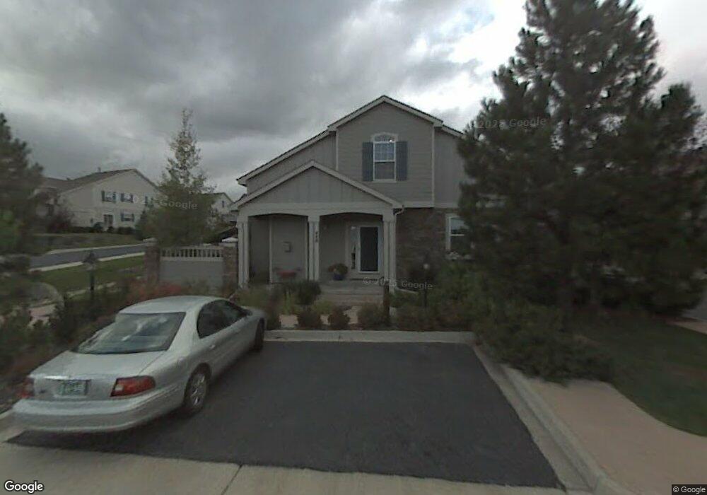
448 Clarendon Loop Castle Pines, CO 80108
Estimated Value: $533,087 - $627,000
2
Beds
3
Baths
2,522
Sq Ft
$228/Sq Ft
Est. Value
About This Home
This home is located at 448 Clarendon Loop, Castle Pines, CO 80108 and is currently estimated at $574,022, approximately $227 per square foot. 448 Clarendon Loop is a home located in Douglas County with nearby schools including Buffalo Ridge Elementary School, Rocky Heights Middle School, and Rock Canyon High School.
Ownership History
Date
Name
Owned For
Owner Type
Purchase Details
Closed on
Jan 19, 2010
Sold by
Gordon Margaret Anne
Bought by
Marshall Jeanne J
Current Estimated Value
Purchase Details
Closed on
Nov 9, 2001
Sold by
The Writer Corp
Bought by
Gordon Margaret Anne
Purchase Details
Closed on
Aug 25, 2000
Sold by
Writer Corporation
Bought by
Twc Acquistion Corp Fka The Writer Corpo
Create a Home Valuation Report for This Property
The Home Valuation Report is an in-depth analysis detailing your home's value as well as a comparison with similar homes in the area
Home Values in the Area
Average Home Value in this Area
Purchase History
We collect this data history from publicly available records. To have your information removed, we recommend requesting removal directly through your county’s website.
| Date | Buyer | Sale Price | Title Company |
|---|---|---|---|
| Marshall Jeanne J | $255,900 | Land Title Guarantee Company | |
| Gordon Margaret Anne | $260,000 | Land Title Guarantee Company | |
| Twc Acquistion Corp Fka The Writer Corpo | -- | -- |
Source: Public Records
Tax History
| Year | Tax Paid | Tax Assessment Tax Assessment Total Assessment is a certain percentage of the fair market value that is determined by local assessors to be the total taxable value of land and additions on the property. | Land | Improvement |
|---|---|---|---|---|
| 2025 | $2,866 | $37,680 | $6,800 | $30,880 |
| 2024 | $2,866 | $39,350 | $5,960 | $33,390 |
| 2023 | $2,894 | $39,350 | $5,960 | $33,390 |
| 2022 | $2,048 | $28,180 | $1,740 | $26,440 |
| 2021 | $2,128 | $28,180 | $1,740 | $26,440 |
| 2020 | $2,672 | $26,450 | $1,790 | $24,660 |
| 2019 | $2,680 | $26,450 | $1,790 | $24,660 |
| 2018 | $2,663 | $25,910 | $1,800 | $24,110 |
| 2017 | $2,502 | $25,910 | $1,800 | $24,110 |
| 2016 | $2,614 | $23,790 | $1,990 | $21,800 |
| 2015 | $1,453 | $23,790 | $1,990 | $21,800 |
| 2014 | $25 | $19,710 | $1,990 | $17,720 |
Source: Public Records
Map
Nearby Homes
- 7329 Norfolk Place
- 7285 Brighton Ct
- 7387 Norfolk Place
- 625 Malvern Ct
- 7412 Pembroke Ct
- 7433 Tenby Ct
- 631 Sherman St
- 7390 Brixham Cir
- 7123 Shoreham Dr
- 595 Leicester Ln
- 7111 Forest Ridge Cir
- 727 Deer Clover Way
- 204 Corby Place
- 906 Greenridge Ln
- 939 Greenway Ln
- 211 Durham Ct
- 327 Ingleton Ct
- 268 Woodstock Ln
- 952 Greenridge Ln
- 1030 Timbercrest Dr
- 7343 Norfolk Place
- 7345 Norfolk Place
- 7347 Norfolk Place
- 7335 Norfolk Place
- 7327 Norfolk Place
- 7337 Norfolk Place
- 7339 Norfolk Place
- 7331 Norfolk Place
- 7355 Norfolk Place
- 7357 Norfolk Place
- 7353 Norfolk Place
- 7351 Norfolk Place
- 7333 Norfolk Place
- 7341 Norfolk Place
- 7349 Norfolk Place
- 7184 Cerney Cir
- 7188 Cerney Cir
- 7365 Norfolk Place
- 7363 Norfolk Place
- 7361 Norfolk Place
Your Personal Tour Guide
Ask me questions while you tour the home.