448 N Avion Dr Crested Butte, CO 81224
Estimated Value: $2,708,000 - $3,324,394
3
Beds
3
Baths
3,059
Sq Ft
$994/Sq Ft
Est. Value
About This Home
This home is located at 448 N Avion Dr, Crested Butte, CO 81224 and is currently estimated at $3,042,099, approximately $994 per square foot. 448 N Avion Dr is a home with nearby schools including Gunnison Elementary School, Crested Butte Community School, and Gunnison Middle School.
Ownership History
Date
Name
Owned For
Owner Type
Purchase Details
Closed on
Jul 11, 2019
Sold by
Low Catherine E
Bought by
Low Catherine
Current Estimated Value
Purchase Details
Closed on
Oct 15, 2007
Sold by
Brush Creek Airport Llc
Bought by
Low Spencer W and Low Catherine E
Home Financials for this Owner
Home Financials are based on the most recent Mortgage that was taken out on this home.
Original Mortgage
$75,000
Interest Rate
8%
Mortgage Type
Unknown
Create a Home Valuation Report for This Property
The Home Valuation Report is an in-depth analysis detailing your home's value as well as a comparison with similar homes in the area
Home Values in the Area
Average Home Value in this Area
Purchase History
| Date | Buyer | Sale Price | Title Company |
|---|---|---|---|
| Low Catherine | -- | None Available | |
| Low Spencer W | $350,000 | None Available |
Source: Public Records
Mortgage History
| Date | Status | Borrower | Loan Amount |
|---|---|---|---|
| Closed | Low Spencer W | $75,000 |
Source: Public Records
Tax History Compared to Growth
Tax History
| Year | Tax Paid | Tax Assessment Tax Assessment Total Assessment is a certain percentage of the fair market value that is determined by local assessors to be the total taxable value of land and additions on the property. | Land | Improvement |
|---|---|---|---|---|
| 2024 | $10,686 | $176,900 | $32,170 | $144,730 |
| 2023 | $10,686 | $173,210 | $31,500 | $141,710 |
| 2022 | $8,631 | $123,540 | $10,160 | $113,380 |
| 2021 | $7,684 | $127,090 | $10,450 | $116,640 |
| 2020 | $6,394 | $106,880 | $8,440 | $98,440 |
| 2019 | $6,269 | $106,880 | $8,440 | $98,440 |
Source: Public Records
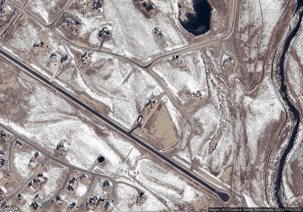
Map
Nearby Homes
- 509 N Avion Dr
- 679 S Avion Dr
- 196 Lake Ridge Dr
- 34 Appaloosa Ln
- 720 S Avion Dr
- 35 Appaloosa Ln
- 527 S Avion Dr
- 56 Bridle Spur Way
- 103 Buckhorn Way
- 84 Chestnut Ln
- 97 Chestnut Ln
- 96 Chestnut Ln
- 77 Coyote Ridge Rd
- 114 Chestnut Ln
- 14 Buckhorn Way
- 64 Buckhorn Way
- 554 White Stallion Cir
- 333 S Avion Dr
- 379 S Avion Dr
- 528 White Stallion Cir
- 472 N Avion Dr
- 424 N Avion Dr
- 496 N Avion Dr
- 496 N Avion Dr
- 396 N Avion Dr
- 0 N Avion Dr Unit 2638
- 540 N Avion Dr
- 537 N Avion Dr
- 368 N Avion Dr
- 563 N Avion Dr
- N Avion Way
- 70 Ridge Rd
- 0 Avion Dr Unit 729505
- 0 Avion Dr Unit 731104
- N Avion Dr Dr
- 651 S Avion Dr
- 102 Lake Dr
- 102 Lake Ridge Dr
- 601 S Avion Dr
- 69 Lake Ridge Dr