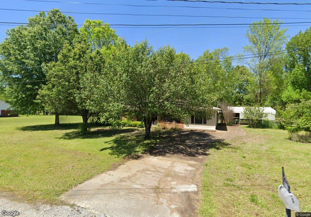
448 Nell St Pontotoc, MS 38863
Estimated Value: $139,989 - $221,000
Studio
2
Baths
1,209
Sq Ft
$153/Sq Ft
Est. Value
About This Home
This home is located at 448 Nell St, Pontotoc, MS 38863 and is currently estimated at $185,247, approximately $153 per square foot. 448 Nell St is a home located in Pontotoc County with nearby schools including Pontotoc Elementary School, D.T. Cox Elementary School, and Pontotoc Junior High School.
Ownership History
Date
Name
Owned For
Owner Type
Purchase Details
Closed on
Sep 14, 2020
Sold by
Grant Noel Jackson and Grant Thomas Leslie
Bought by
Harris Jonathan E and Harris Lacey Hooton
Current Estimated Value
Home Financials for this Owner
Home Financials are based on the most recent Mortgage that was taken out on this home.
Original Mortgage
$111,111
Outstanding Balance
$98,379
Interest Rate
2.9%
Mortgage Type
New Conventional
Estimated Equity
$86,868
Create a Home Valuation Report for This Property
The Home Valuation Report is an in-depth analysis detailing your home's value as well as a comparison with similar homes in the area
Home Values in the Area
Average Home Value in this Area
Purchase History
| Date | Buyer | Sale Price | Title Company |
|---|---|---|---|
| Harris Jonathan E | -- | None Available |
Source: Public Records
Mortgage History
| Date | Status | Borrower | Loan Amount |
|---|---|---|---|
| Open | Harris Jonathan E | $111,111 |
Source: Public Records
Tax History
| Year | Tax Paid | Tax Assessment Tax Assessment Total Assessment is a certain percentage of the fair market value that is determined by local assessors to be the total taxable value of land and additions on the property. | Land | Improvement |
|---|---|---|---|---|
| 2025 | $1,082 | $8,144 | $0 | $0 |
| 2024 | $1,041 | $8,144 | $0 | $0 |
| 2023 | $1,039 | $8,144 | $0 | $0 |
| 2022 | $640 | $7,308 | $0 | $0 |
| 2021 | $663 | $7,308 | $0 | $0 |
| 2020 | $907 | $7,308 | $0 | $0 |
| 2019 | $922 | $7,294 | $0 | $0 |
| 2018 | $863 | $6,833 | $0 | $0 |
| 2017 | $0 | $6,833 | $0 | $0 |
| 2016 | $0 | $6,833 | $0 | $0 |
| 2015 | -- | $5,669 | $0 | $0 |
| 2014 | -- | $5,669 | $0 | $0 |
Source: Public Records
Map
Nearby Homes
- 438 W Reynolds St
- 231 Lake Dr
- 0 W Reynolds St
- 0 Mississippi 336
- 259 Shady Ln
- 231 Greenbriar Cir
- 339 Meadow Lark Dr
- 605 County Road 442
- 168 Highland Dr
- 172 Coffee St
- 140 N Magnolia Place
- 44.36 ac City Ave N
- 0 0 Tallant Lane (16 6 Ac)
- 0 Tallant Ln
- 49A W Reynolds St
- 0 0 Hwy 15 Unit 25-1317
- 0 Mississippi 9 Unit 25-3711
- 17 N Main St
- 188 N Main St
- 0 N Main St
- 448 Nell St
- 445 W Reynolds St
- 119 Lepard Rd
- 0 Nell St Unit 24-680
- 0 Nell St Unit 24-290
- 0 Nell St Unit 23-4192
- 0 Nell St
- 449 W Reynolds St
- 456 Nell St
- 449 W Reynolds St
- 436 Nell St
- 119 Lepard Rd
- 439 W Reynolds St
- 462 Nell St
- 434 Nell St
- 434 Nell St
- Lot 6 Nell
- 455 W Reynolds St
- 444 W Reynolds St
- 124 Lepard Rd
Your Personal Tour Guide
Ask me questions while you tour the home.