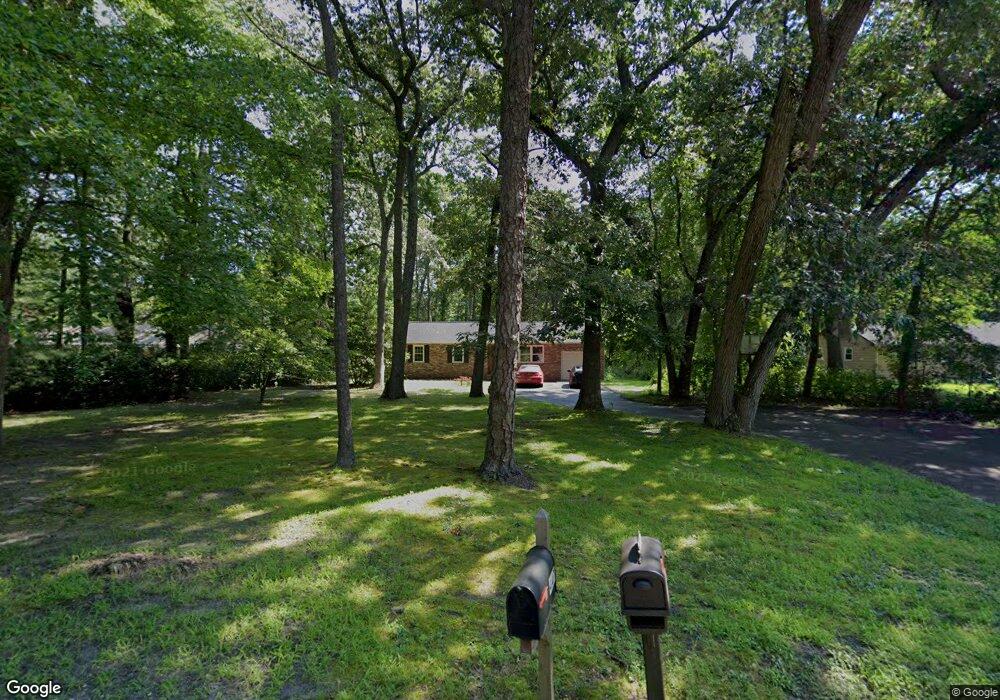
448 New Rd Southampton, NJ 08088
Estimated Value: $324,076 - $393,000
--
Bed
--
Bath
1,323
Sq Ft
$269/Sq Ft
Est. Value
About This Home
This home is located at 448 New Rd, Southampton, NJ 08088 and is currently estimated at $355,269, approximately $268 per square foot. 448 New Rd is a home located in Burlington County with nearby schools including Southampton Twp School No 1, Southampton Twp School No 2, and Southampton Twp School No 3.
Ownership History
Date
Name
Owned For
Owner Type
Purchase Details
Closed on
Jan 9, 2023
Sold by
Christeve Ridge Llc
Bought by
State Of New Jersey Department Of Environment
Current Estimated Value
Purchase Details
Closed on
Jun 21, 2002
Sold by
Johnson John E and Johnson Darby A
Bought by
Dobie Kathleen
Home Financials for this Owner
Home Financials are based on the most recent Mortgage that was taken out on this home.
Original Mortgage
$137,750
Interest Rate
6.64%
Purchase Details
Closed on
Sep 29, 1995
Sold by
Marrolli Ursula W
Bought by
Johnson John E and Johnson Darby A
Create a Home Valuation Report for This Property
The Home Valuation Report is an in-depth analysis detailing your home's value as well as a comparison with similar homes in the area
Home Values in the Area
Average Home Value in this Area
Purchase History
| Date | Buyer | Sale Price | Title Company |
|---|---|---|---|
| State Of New Jersey Department Of Environment | -- | -- | |
| Dobie Kathleen | $145,000 | -- | |
| Johnson John E | $109,000 | Supreme Title Agency Inc |
Source: Public Records
Mortgage History
| Date | Status | Borrower | Loan Amount |
|---|---|---|---|
| Previous Owner | Dobie Kathleen | $137,750 |
Source: Public Records
Tax History Compared to Growth
Tax History
| Year | Tax Paid | Tax Assessment Tax Assessment Total Assessment is a certain percentage of the fair market value that is determined by local assessors to be the total taxable value of land and additions on the property. | Land | Improvement |
|---|---|---|---|---|
| 2025 | $6,456 | $195,700 | $80,800 | $114,900 |
| 2024 | $6,217 | $195,700 | $80,800 | $114,900 |
| 2023 | $6,217 | $195,700 | $80,800 | $114,900 |
| 2022 | $5,998 | $195,700 | $80,800 | $114,900 |
| 2021 | $5,867 | $195,700 | $80,800 | $114,900 |
| 2020 | $5,738 | $195,700 | $80,800 | $114,900 |
| 2019 | $5,615 | $195,700 | $80,800 | $114,900 |
| 2018 | $5,484 | $195,700 | $80,800 | $114,900 |
| 2017 | $5,503 | $195,700 | $80,800 | $114,900 |
| 2016 | $5,386 | $195,700 | $80,800 | $114,900 |
| 2015 | $5,215 | $195,700 | $80,800 | $114,900 |
| 2014 | $5,031 | $195,700 | $80,800 | $114,900 |
Source: Public Records
Map
Nearby Homes
- 204 Ridge Rd
- 0 Beaver Dam Rd & Red Lion Rd Rd
- 37 Stratford Rd
- 48 Dunstable Rd
- 33 Dunstable Rd
- 36 Cotherstone Dr
- 29 Dunstable Rd
- 25 Dunstable Rd
- 985 Westminster Dr N
- 19 Dunstable Rd
- 1 Westminster Dr S
- 10 Dunstable Rd
- 66 Westminster Dr S
- 21 Westminster Dr S
- 248 Huntington Dr
- 20 Buxton Ct
- 240 Huntington Dr
- 14 Burtons Dr
- 5 Dutchess Ct
- 68 Finchley Ct